Oakwilde Trail Camp (not maintained)
Campground
Campground · 1.1 mi from the trail
 Photo: Henrik Kibak, CC BY 4.0 (via Wikimedia Commons)
Alert in the area
The Forest Service lists 7 alerts for Angeles National Forest.
Rincon-Redbox Road (2N24) Closure
Agency alert covering Angeles National Forest · Order 05-01-26-13 · USFS · Angeles National Forest
Fire Danger Level Elevated to "Very High"
Agency alert covering Angeles National Forest · USFS · Angeles National Forest
San Gabriel Canyon OHV Area Prohibitions
Agency alert covering Angeles National Forest · Order 05-01-26-09 · USFS · Angeles National Forest
San Dimas Experimental Forest Closure
Agency alert covering Angeles National Forest · USFS · Angeles National Forest
Eaton Fire Area Closure
Agency alert covering Angeles National Forest · Order 05-01-26-04 · USFS · Angeles National Forest
As of · Source: USFS · Angeles National Forest. Agencies don't list every closure — check before you go.
Old Dark Canyon Trail is a short, easy out-and-back hike in California's Angeles National Forest, within the Los Angeles Gateway Ranger District. The trail is about half a mile from the trailhead, and it gains about 550 feet in elevation over the course of a roughly mile-long route. The climb is front-loaded, with the steepest stretch at about 0.2 miles in, and the high point sits at 3,291 feet. The trip takes about half an hour, so it works well as a quick stop on a day spent exploring the surrounding area. The Forest Service manages the land, and the trail is part of a cluster of routes that make for easy linking. Lower Dark Canyon Trail lies just 0.3 miles away, and Dark Canyon Trail is about a mile off. Station Ridge Trail is roughly 1.8 miles from the start, and Gould Mesa campground is about 2.8 miles away, offering a place to stay for anyone planning a longer trip.
Oakwilde Trail Camp (not maintained)
Campground
 If it rainsDoncram, CC BY-SA 3.0 · Wikimedia Commons
Historic American Craftsman era stone building in Tujunga, Los Angeles County, California
Places © OpenStreetMap contributors, Places © Overture Maps Foundation · Photos: Doncram, CC BY-SA 3.0 (commons)
More in ActonLower Dark Canyon TrailHikingPhoto: Henrik Kibak, CC BY 4.0 (via Wikimedia Commons)0.3 miDark Canyon TrailHikingPhoto: Henrik Kibak, CC BY 4.0 (via Wikimedia Commons)0.9 mi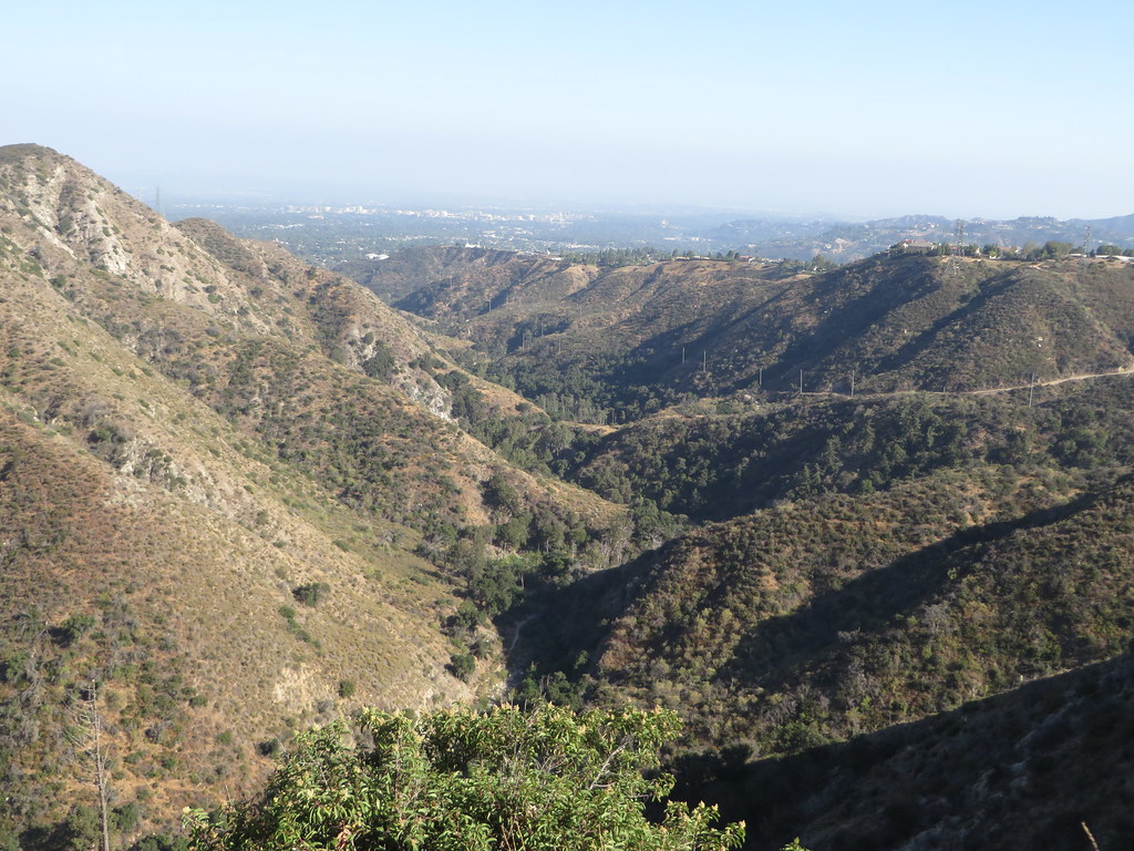 Station Ridge TrailHikingPhoto: Ken Lund, CC BY-SA 2.0 (via Flickr)1.8 mi
 Big Tujunga CreekCanoeingPhoto: MajaTrochimczyk, CC BY 3.0 us (via Wikimedia Commons)2.7 mi
Source: Roamze catalog (indexable pages within 10 miles, PostGIS distance)
Lower Dark Canyon TrailHiking · Next doorPhoto: Henrik Kibak, CC BY 4.0 (via Wikimedia Commons)Dark Canyon TrailHiking · ~1 min drivePhoto: Henrik Kibak, CC BY 4.0 (via Wikimedia Commons) World of ChaparralHiking · ~3 min drivePhoto: cdsessums, CC BY-SA 2.0 (via Flickr)
 Gabrielino TrailHiking · ~4 min drivePhoto: Pintsmasher, CC BY 3.0 (via Wikimedia Commons)Station Ridge TrailHiking · ~3 min drivePhoto: Ken Lund, CC BY-SA 2.0 (via Flickr)
 Pickens TrailHiking · ~3 min drivePhoto: mjhbower, CC BY-SA 2.0 (via Flickr)Hoyt Mountain TrailHiking · ~3 min drivePhoto: cdsessums, CC BY-SA 2.0 (via Flickr)Cross Town Trail -abandoned segment-Hiking · ~4 min drivePhoto: Pintsmasher, CC BY 3.0 (via Wikimedia Commons)
 El Prieto TrailHiking · ~6 min drivePhoto: feverblue, CC BY-SA 2.0 (via Flickr)
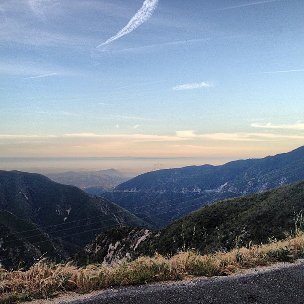 BurtonHiking · ~3 min drivePhoto: LouevilBelle, CC BY 2.0 (via Flickr)
Also worth it near here
 Hoyt Mt. to Pines Picnic TrailMountain biking · ~4 min drivePhoto: RuggyBearLA, CC BY 2.0 (via Wikimedia Commons)
 Mount LukensSummit · ~4 min drivePhoto: Doc Searls from Santa Barbara, USA, CC BY 2.0 (via Wikimedia Commons)Big Tujunga CreekCanoeing · ~5 min drivePhoto: MajaTrochimczyk, CC BY 3.0 us (via Wikimedia Commons)
Map and trail data © OpenStreetMap contributors
