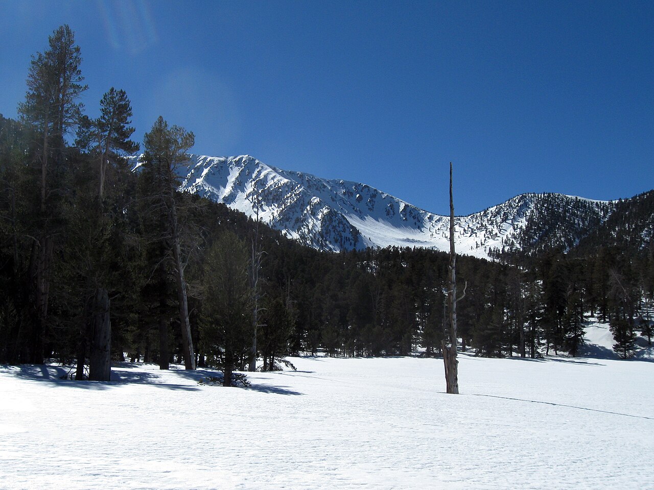
Vivian Creek Trail Camp
Campground
Campground · 3.4 mi from the trail
 Photo: inkknife_2000 (7.5 million views +), CC BY-SA 2.0 (via Wikimedia Commons)
Alert in the area
The Forest Service lists 4 alerts for San Bernardino National Forest.
Safety Alert - Falling Rocks at Bonita Falls
Agency alert covering San Bernardino National Forest · USFS · San Bernardino National Forest
Upper Big Falls Area Closure
Agency alert covering Front Country Ranger District · Order 05-12-53-26-03 · USFS · Front Country Ranger District
Fire Restrictions
Agency alert covering San Bernardino National Forest · Order 05-12-00-26-05 · USFS · San Bernardino National Forest
Applewhite Picnic Area Closure
Agency alert covering Front Country Ranger District · Order 05-12-53-26-01 · USFS · Front Country Ranger District
As of · Source: USFS · San Bernardino National Forest. Agencies don't list every closure — check before you go.
Wilshire Peak is a hard hike on the Forest Service's San Bernardino National Forest, within the Front Country Ranger District. The route climbs about 2,540 feet over a distance of 8.5 miles, starting from a low point of roughly 5,749 feet and reaching a high of about 8,803 feet. The trail is natural and not accessible. The closest neighbor is the Wilshire Peak Trail, about 1.6 miles away, and Little San Gorgonio is about 1.7 miles off. Climbers can find the Lower Tier (Right Side) about 5.4 miles away, and the San Gorgonio River, about 7.2 miles away, offers canoeing.
Vivian Creek Trail Camp
Campground
Places © OpenStreetMap contributors, Places © Overture Maps Foundation
More in Desert Hot SpringsWilshire Peak TrailHikingPhoto: inkknife_2000 (7.5 million views +), CC BY-SA 2.0 (via Wikimedia Commons)1.6 mi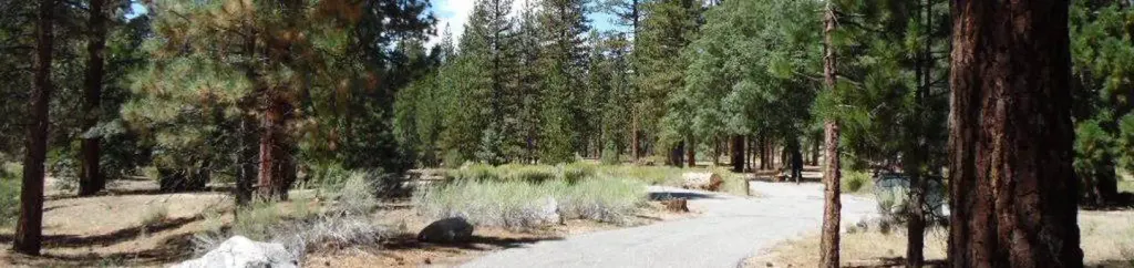 Barton FlatsCampingPhoto: Recreation.gov (RIDB) / public domain9.2 mi
Source: Roamze catalog (indexable pages within 10 miles, PostGIS distance)
Wilshire Peak TrailHiking · ~3 min drivePhoto: inkknife_2000 (7.5 million views +), CC BY-SA 2.0 (via Wikimedia Commons) Pack TrailHiking · ~4 min drivePhoto: bossco, CC BY-SA 2.0 (via Flickr)
 Yucaipa Ridge Truck TrailHiking · ~6 min drivePhoto: inkknife_2000 (7.5 million views +), CC BY-SA 2.0 (via Wikimedia Commons)
 FALLS CREEK SPURHiking · ~6 min drivePhoto: inkknife_2000 (7.5 million views +), CC BY-SA 2.0 (via Wikimedia Commons)
 Nature TrailHiking · ~3 min drivePhoto: inkknife_2000 (7.5 million views +), CC BY-SA 2.0 (via Wikimedia Commons)
 Vivian CreekHiking · ~6 min drivePhoto: Patrick Kajirian, CC BY 3.0 (via Wikimedia Commons)
 Cottonwood TrailHiking · ~10 min drivePhoto: inkknife_2000 (7.5 million views +), CC BY-SA 2.0 (via Wikimedia Commons)Big FallsHiking · ~5 min drivePhoto: inkknife_2000 (7.5 million views +), CC BY-SA 2.0 (via Wikimedia Commons)
 Oak Glen DivideHiking · ~7 min drivePhoto: inkknife_2000 (7.5 million views +), CC BY-SA 2.0 (via Wikimedia Commons)