Oak Glen Divide
 Photo: inkknife_2000 (7.5 million views +), CC BY-SA 2.0 (via Wikimedia Commons)
- 13.0 mi
- round trip
- 3,446 ft
- climb
- 9,129 ft
- high point
- Out and back
- route
Is Oak Glen Divide open right now?
Alert in the area
The Forest Service lists 4 alerts for San Bernardino National Forest.
Safety Alert - Falling Rocks at Bonita Falls
Agency alert covering San Bernardino National Forest · USFS · San Bernardino National Forest
Upper Big Falls Area Closure
Agency alert covering Front Country Ranger District · Order 05-12-53-26-03 · USFS · Front Country Ranger District
Fire Restrictions
Agency alert covering San Bernardino National Forest · Order 05-12-00-26-05 · USFS · San Bernardino National Forest
Applewhite Picnic Area Closure
Agency alert covering Front Country Ranger District · Order 05-12-53-26-01 · USFS · Front Country Ranger District
As of · Source: USFS · San Bernardino National Forest. Agencies don't list every closure — check before you go.
Oak Glen Divide is a hard hike in the Front Country Ranger District of San Bernardino National Forest, about 2 miles from the town of Oak Glen, California. The route is an out-and-back that climbs from a low point of about 6,163 feet to a high point of about 9,129 feet, with a total elevation gain of about 3,446 feet over a distance of about 13 miles. The trail is natural-surface and not accessible. The climb is long and steep, and the high point makes this a serious day on foot. Plan for a full day, and expect the trail to be challenging from start to finish. Several other destinations sit close by. The Yucaipa Ridge Truck Trail is under a mile away, and Wilson Creek is about 1.2 miles off. Climbers can find the Lower Tier (Left Side) and Lower Tier (Right Side) climbing areas about 1.7 miles away. For an overnight stay, Thomas Hunting Grounds Yellow Post Sites is about 4.4 miles away.
Conditions and forecast on Oak Glen Peak
Daily highs and lows, wind and the chance of precipitation at the summit and route start for the next 7 days, from the Open-Meteo model.
 Yucaipa Ridge Truck TrailHikingPhoto: inkknife_2000 (7.5 million views +), CC BY-SA 2.0 (via Wikimedia Commons)0.8 mi
 Wilson CreekHikingPhoto: inkknife_2000 (7.5 million views +), CC BY-SA 2.0 (via Wikimedia Commons)1.2 mi
- Lower Tier (Left Side)Rock climbing1.7 mi
- Lower Tier (Right Side)Rock climbing1.7 mi
- Thomas Hunting Grounds Yellow Post SitesCamping4.4 mi
- CouncilSaltwater fishing8.1 mi
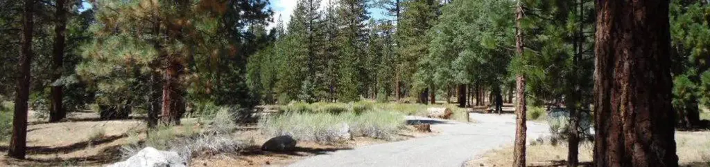 Barton FlatsCampingPhoto: Recreation.gov (RIDB) / public domain8.3 mi
 San GorgonioSaltwater fishing8.7 mi
Source: Roamze catalog (indexable pages within 10 miles, PostGIS distance)
- Yucaipa Ridge Truck TrailHiking · ~1 min drivePhoto: inkknife_2000 (7.5 million views +), CC BY-SA 2.0 (via Wikimedia Commons)
- Wilson CreekHiking · ~2 min drivePhoto: inkknife_2000 (7.5 million views +), CC BY-SA 2.0 (via Wikimedia Commons)
 Nature TrailHiking · ~5 min drivePhoto: inkknife_2000 (7.5 million views +), CC BY-SA 2.0 (via Wikimedia Commons)
 Cottonwood TrailHiking · ~6 min drivePhoto: inkknife_2000 (7.5 million views +), CC BY-SA 2.0 (via Wikimedia Commons)
- Forsee Creek TrailHiking · ~11 min drive
 Pack TrailHiking · ~4 min drivePhoto: bossco, CC BY-SA 2.0 (via Flickr)
 Wilshire Peak TrailHiking · ~5 min drivePhoto: inkknife_2000 (7.5 million views +), CC BY-SA 2.0 (via Wikimedia Commons)
 FALLS CREEK SPURHiking · ~7 min drivePhoto: inkknife_2000 (7.5 million views +), CC BY-SA 2.0 (via Wikimedia Commons)
 San Bernardino PeakHiking · ~7 min drivePhoto: simonov, CC BY-SA 2.0 (via Flickr)
 North Valley TrailHiking · ~6 min drivePhoto: inkknife_2000 (7.5 million views +), CC BY-SA 2.0 (via Wikimedia Commons)
Also worth it near here
- Monkeyface FallsWaterfall · ~3 min drive
 (b) Thurman Flat (Sport Boulder)Rock climbing · ~5 min drivePhoto: inkknife_2000 (7.5 million views +), CC BY-SA 2.0 (via Wikimedia Commons)
 Momyer Creek Non WildernessMountain biking · ~5 min drivePhoto: inkknife_2000 (7.5 million views +), CC BY-SA 2.0 (via Wikimedia Commons)
- Morton Peak LoHut camping · ~8 min drive
Route details
- Distance
- 13.0 mi round trip
- Climbing
- About 3,446 ft
- Summit
- 8,426 ft
- Difficulty
- Hard
Questions about this route
How long is the Oak Glen Divide on Oak Glen Peak?
About 13.0 mi round trip.
How much elevation gain is on the Oak Glen Divide?
About 3,446 ft of climbing round trip.
How hard is the Oak Glen Divide?
It is rated hard.
