Jackstraw Campground
Campground
Campground · 1.0 mi from the trail
Caution at last check
Agency alerts are in effect for this area; weather is good · USFS, OpenWeather · checked 23 h ago
Alert in the area
The Forest Service lists 4 alerts for San Bernardino National Forest.
Safety Alert - Falling Rocks at Bonita Falls
Agency alert covering San Bernardino National Forest · USFS · San Bernardino National Forest
Upper Big Falls Area Closure
Agency alert covering Front Country Ranger District · Order 05-12-53-26-03 · USFS · Front Country Ranger District
Fire Restrictions
Agency alert covering San Bernardino National Forest · Order 05-12-00-26-05 · USFS · San Bernardino National Forest
Applewhite Picnic Area Closure
Agency alert covering Front Country Ranger District · Order 05-12-53-26-01 · USFS · Front Country Ranger District
As of · Source: USFS · San Bernardino National Forest. Agencies don't list every closure — check before you go.
Forsee Creek Trail is a 12.9-mile out-and-back hike in California's San Gorgonio Wilderness, within the Front Country Ranger District of San Bernardino National Forest. The Forest Service manages the land, and the route starts at 6,776 feet, rising to a high point of 10,566 feet. The climb is front-loaded, with the steepest stretch at about 0.77 miles in, where the grade reaches 36 percent. The total elevation gain is 5,250 feet, and the trail is rated expert. The trip takes about seven hours. The route is long and steep, and the climb is one of the most demanding aspects of the day. The trail is in designated wilderness, so plan for a full day on foot. Forsee Basin and the Forsee Creek hike both lie about 0.4 miles away. Barton Flats campground is about 2.1 miles off, and the Corpse Wall climbing area is about 4.4 miles away.
Jackstraw Campground
Campground
 If it rainsBeyond My Ken, CC BY-SA 4.0 · Wikimedia Commons
Deep Creek Hot Springs
Hot spring
Natural hot springs located in San Bernardino National Forest, California, United States
Places © OpenStreetMap contributors, Places © Overture Maps Foundation · Photos: Beyond My Ken, CC BY-SA 4.0 (commons)
More in Lucerne Valley FORSEE CREEKHikingPhoto: inkknife_2000 (7.5 million views +), CC BY-SA 2.0 (via Wikimedia Commons)0.4 mi
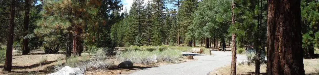 Barton FlatsCampingPhoto: Recreation.gov (RIDB) / public domain2.1 mi
 San GorgonioSaltwater fishing2.5 mi
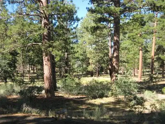 Lobo GroupCampingPhoto: Recreation.gov (RIDB) / public domain2.9 mi
Source: Roamze catalog (indexable pages within 10 miles, PostGIS distance)
FORSEE CREEKHiking · Next doorPhoto: inkknife_2000 (7.5 million views +), CC BY-SA 2.0 (via Wikimedia Commons)Ponderosa Vista Nature TrailHiking · ~2 min drivePhoto: inkknife_2000 (7.5 million views +), CC BY-SA 2.0 (via Wikimedia Commons) Rio MonteHiking · ~3 min drivePhoto: inkknife_2000 (7.5 million views +), CC BY-SA 2.0 (via Wikimedia Commons)
 San Bernardino PeakHiking · ~4 min drivePhoto: simonov, CC BY-SA 2.0 (via Flickr)Whispering PinesHiking · ~2 min drivePhoto: inkknife_2000 (7.5 million views +), CC BY-SA 2.0 (via Wikimedia Commons)
 South ForkHiking · ~4 min drivePhoto: simonov, CC BY-SA 2.0 (via Flickr)
 Falls CreekHiking · ~6 min drivePhoto: NASA Earth Observatory, CC BY 2.0 (via Wikimedia Commons)
 Jenks Lake TrailHiking · ~2 min drivePhoto: inkknife_2000 (7.5 million views +), CC BY-SA 2.0 (via Wikimedia Commons)
 SANTA ANA RIVER TRAIL A SPURHiking · ~6 min drivePhoto: inkknife_2000 (7.5 million views +), CC BY-SA 2.0 (via Wikimedia Commons)
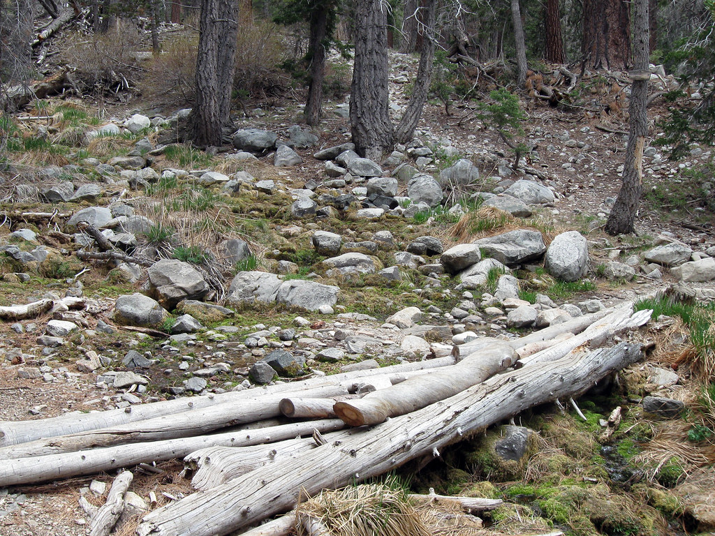 Dry LakeHiking · ~6 min drivePhoto: simonov, CC BY-SA 2.0 (via Flickr)
Map and trail data © OpenStreetMap contributors
