Williams Grove Trail
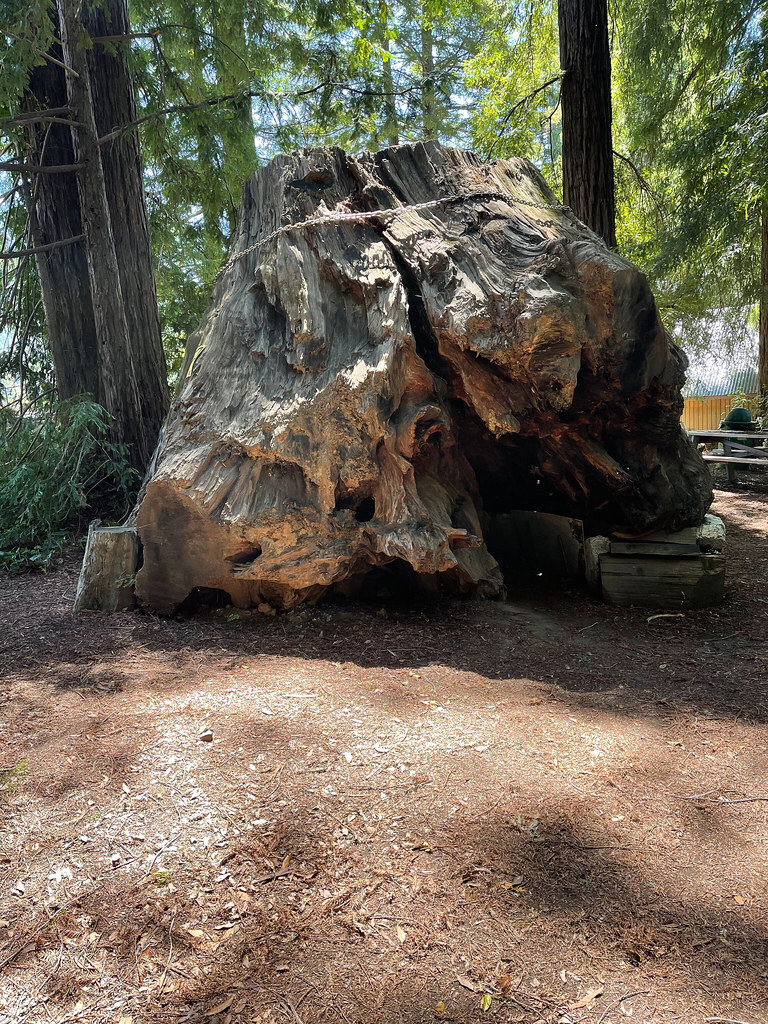 Photo: JingKe888, CC BY 2.0 (via Flickr)
- 2.2 mi
- round trip
- 2,476 ft
- climb
- 794 ft
- high point
- Out and back
- route
- May–Oct
- best months
Caution at last check
Weather is marginal · OpenWeather · checked 12 h ago
Williams Grove Trail is a moderate out-and-back hike of about 4.3 miles in Humboldt Redwoods State Park in northern California. It is managed by State Park and Recreation, and the trail rises steadily from a starting point near 440 feet to a high point of about 794 feet, with the steepest stretch around mile 0.92. The trail gains about 2,476 feet over the entire route. That makes for a significant climb, and the round trip works out to roughly 4.3 miles. Plan for about 2.5 hours on foot. Summer is the most comfortable time to go. At a nearby weather station, typical averages run to highs around 73°F with only two or three wet days a month in July and August. Winter brings highs near 50°F and about 15 wet days a month. Several other trails sit close by, including the Childrens Forest Trail and the Hidden Springs Beach Trail, each about 0.6 miles away. For an overnight stay, Williams Grove Group Camp is about 0.8 miles from the trail.
- Childrens Forest TrailHiking0.5 mi
 River TrailHikingPhoto: Avulsionist, CC BY 2.0 (via Flickr)0.6 mi
 Hidden Springs Beach TrailHikingPhoto: lamblukas, CC BY 2.0 (via Flickr)0.6 mi
- Williams Grove Group CampCamping0.8 mi
 Grasshopper TrailHikingPhoto: MARELBU, CC BY 3.0 (via Wikimedia Commons)2.4 mi
- Salmon CreekCanoeing3.3 mi
- Marin Garden Club Grove Group CampCamping4.7 mi
- Larabee CreekCanoeing8.8 mi
Source: Roamze catalog (indexable pages within 10 miles, PostGIS distance)
- River TrailHiking · Next doorPhoto: Avulsionist, CC BY 2.0 (via Flickr)
- Hidden Springs Beach TrailHiking · ~1 min drivePhoto: lamblukas, CC BY 2.0 (via Flickr)
- Grasshopper TrailHiking · ~4 min drivePhoto: MARELBU, CC BY 3.0 (via Wikimedia Commons)
 Thorton TrailHiking · ~16 min drivePhoto: Cal Fire Battalion Chief Kurt Dernedde, California Department of Forestry and Fire Protection, http://www.fire.ca.gov/, Public domain (via Wikimedia Commons)
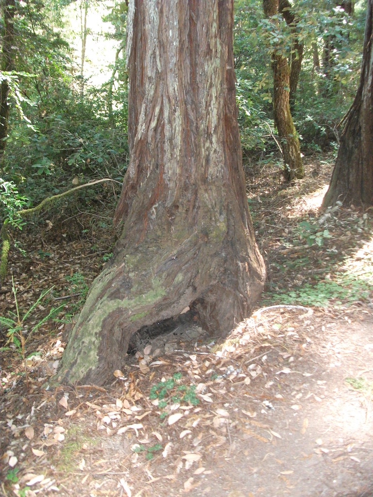 Kent-Mather Loop TrailHiking · ~3 min drivePhoto: timeyres, CC BY-SA 2.0 (via Flickr)
 River TrailHiking · ~2 min drivePhoto: Avulsionist, CC BY 2.0 (via Flickr)
 River TrailHiking · ~10 min drivePhoto: Federico Pizano, CC BY 3.0 (via Wikimedia Commons)
- King Crest TrailHiking · ~26 min drive
- Fleischmann Grove TrailHiking · ~5 min drivePhoto: MARELBU, CC BY 3.0 (via Wikimedia Commons)
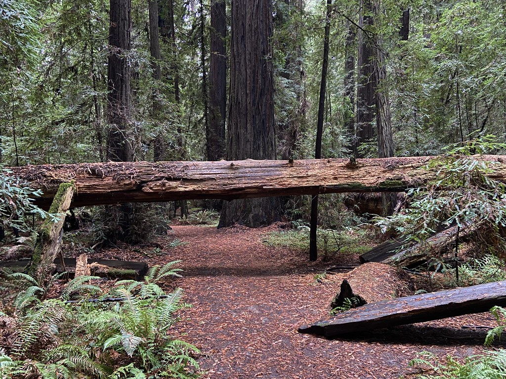 Dry Creek TrailHiking · ~6 min drivePhoto: btwashburn, CC BY 2.0 (via Flickr)
Best time to visit Williams Grove Trail
Best months: May–October. Best months have typical highs of 55–85 °F, lows of 30 °F or warmer (32 °F where the station doesn't record snow), at most one snowy day and no more than 12 wet days.
Jan
50° / 38°
16 wet
Feb
52° / 39°
15 wet
Mar
55° / 41°
15 wet
Apr
60° / 43°
13 wet
May
65° / 48°
9 wet
Jun
69° / 50°
5 wet
Jul
73° / 53°
2 wet
Aug
73° / 53°
2 wet
Sep
72° / 49°
3 wet
Oct
63° / 45°
6 wet
Nov
54° / 40°
13 wet
Dec
49° / 38°
15 wet
Typical high / low (°F) and days with rain or snow, 1991–2020. Measured at Grizzly Creek Sp, CA, 14.9 mi away at 413 ft. This station doesn't record snowfall. Source: NOAA NCEI U.S. Climate Normals 1991–2020.

Map and trail data © OpenStreetMap contributors
