Grasshopper Trail
 Photo: MARELBU, CC BY 3.0 (via Wikimedia Commons)
- 6.2 mi
- round trip
- 4,239 ft
- climb
- 3,332 ft
- high point
- Out and back
- route
Grasshopper Trail is a hard, out-and-back hike of about 12.5 miles in Humboldt Redwoods State Park in California, managed by State Park and Recreation. The trail starts at an elevation of about 427 feet and climbs to a high point of 3,332 feet, with a total gain of roughly 4,239 feet. The route is front-loaded, so the steepest stretch comes around mile 5, where the grade reaches about 29%. For the time, plan on about six and a half hours. The nearest trails are the Fleischmann Grove Trail, about 0.4 miles away, and the Gould Grove Nature Loop Trail, about 0.5 miles away. Williams Grove Group Camp, roughly 1.8 miles off, is the closest campground. Salmon Creek, about 5 miles away, offers canoeing.
Conditions and forecast on Grasshopper Mountain
Daily highs and lows, wind and the chance of precipitation at the summit and route start for the next 7 days, from the Open-Meteo model.
- Fleischmann Grove TrailHikingPhoto: MARELBU, CC BY 3.0 (via Wikimedia Commons)0.4 mi
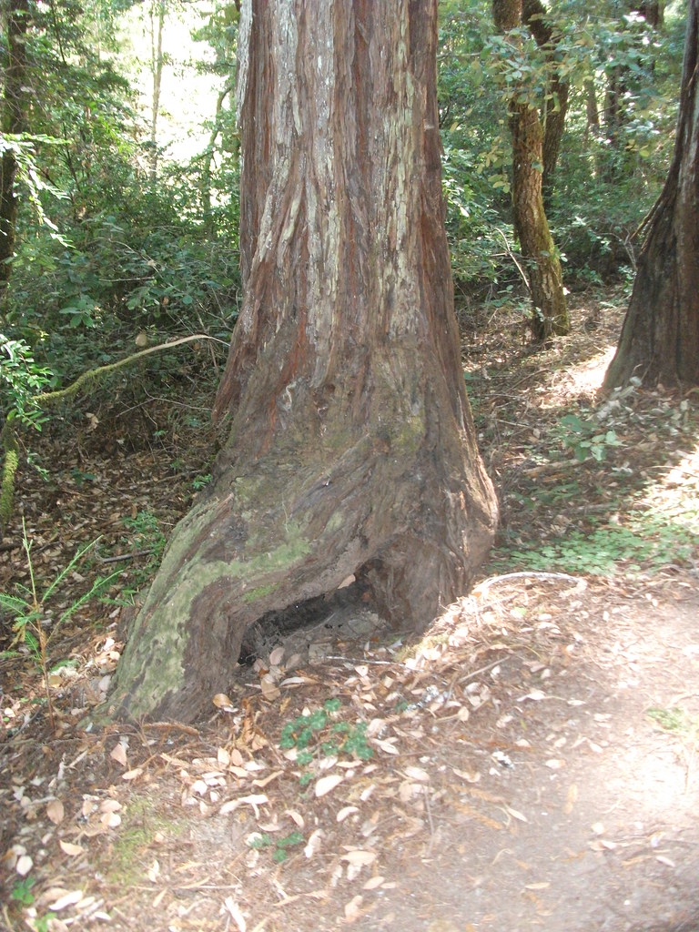 Gould Grove Nature Loop TrailHikingPhoto: timeyres, CC BY-SA 2.0 (via Flickr)0.5 mi
 River TrailHikingPhoto: Avulsionist, CC BY 2.0 (via Flickr)1.2 mi
- Williams Grove Group CampCamping1.8 mi
- Marin Garden Club Grove Group CampCamping2.2 mi
- Salmon CreekCanoeing5 mi
- Chris CreekCanoeing7.9 mi
- Larabee CreekCanoeing8.5 mi
Source: Roamze catalog (indexable pages within 10 miles, PostGIS distance)
- Fleischmann Grove TrailHiking · Next doorPhoto: MARELBU, CC BY 3.0 (via Wikimedia Commons)
- River TrailHiking · ~2 min drivePhoto: Avulsionist, CC BY 2.0 (via Flickr)
 River TrailHiking · ~5 min drivePhoto: Federico Pizano, CC BY 3.0 (via Wikimedia Commons)
 Thorton TrailHiking · ~12 min drivePhoto: Cal Fire Battalion Chief Kurt Dernedde, California Department of Forestry and Fire Protection, http://www.fire.ca.gov/, Public domain (via Wikimedia Commons)
- Kent-Mather Loop TrailHiking · ~1 min drivePhoto: timeyres, CC BY-SA 2.0 (via Flickr)
 Burlington-Weott TrailHiking · ~3 min drivePhoto: Robert Ashworth from Bellingham, WA., USA, CC BY 2.0 (via Wikimedia Commons)
- Bull Creek Trail NorthHiking · ~6 min drivePhoto: Federico Pizano, CC BY 3.0 (via Wikimedia Commons)
 River TrailHiking · ~4 min drivePhoto: Avulsionist, CC BY 2.0 (via Flickr)
 Hidden Springs Beach TrailHiking · ~5 min drivePhoto: lamblukas, CC BY 2.0 (via Flickr)
 Johnson Camp TrailHiking · ~8 min drivePhoto: California Department of Parks and Recreation, Public domain (via Wikimedia Commons)
Route details
- Distance
- 6.2 mi round trip
- Climbing
- About 4,239 ft
- Summit
- 3,380 ft
- Difficulty
- Hard
- Time
- About 4 hours
Questions about this route
How long is the Grasshopper Trail on Grasshopper Mountain?
About 6.2 mi round trip.
How much elevation gain is on the Grasshopper Trail?
About 4,239 ft of climbing round trip.
How hard is the Grasshopper Trail?
It is rated hard.
How long does the Grasshopper Trail take?
About 4 hours round trip.
Map and trail data © OpenStreetMap contributors
