Goose Meadow
Campground
Campground · 3.8 mi from the trail
 Photo: Tim Berger, CC BY 2.0 (via Wikimedia Commons)
Alert in the area
The Forest Service lists an alert for Tahoe National Forest.
Camping and Campfire Restrictions-Truckee and Sierraville Districts
Agency alert covering Tahoe National Forest · Order 17-25-05 · USFS · Tahoe National Forest
As of · Source: USFS · Tahoe National Forest. Agencies don't list every closure — check before you go.
Pacific Crest National Scenic Trail #2000 is an expert-level out-and-back hike of about 31.6 miles on the Pacific Crest Trail in California's Tahoe National Forest, within the Truckee Ranger District. The route is managed by the Forest Service. The hike starts at about 7,131 feet and reaches a high point of about 8,731 feet. The total gain and loss are both about 6,544 feet, with the steepest stretch at about 26% grade near the 1.3-mile mark. It's a long, steady climb, so plan for a full day or more. The closest neighbors are Cold Stream and Coldstream Trail, both about 0.6 miles away. Deep Creek Crags offers climbing about 2.7 miles off, and Goose Meadow campground sits about 3.8 miles away.
Goose Meadow
Campground
Gold Coast Lodge
Restaurant
Watson Cabin
Museum
Places © OpenStreetMap contributors
More in Sunnyside-Tahoe CityNot on Roamze yet. Their page has how to reach them.
Daily highs and lows, wind and the chance of precipitation at the summit and route start for the next 7 days, from the Open-Meteo model.
Cold StreamHikingPhoto: Tim Berger, CC BY 2.0 (via Wikimedia Commons)0.6 miColdstream TrailHikingPhoto: Tim Berger, CC BY 2.0 (via Wikimedia Commons)0.6 mi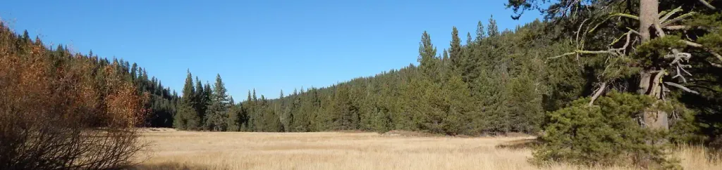 Goose MeadowsCampingPhoto: Recreation.gov (RIDB) / public domain3.9 mi
 North Fork American RiverCanoeingPhoto: Moiseiko, CC BY-SA 3.0 (via Wikimedia Commons)4.3 mi
Source: Roamze catalog (indexable pages within 10 miles, PostGIS distance)
Cold StreamHiking · Next doorPhoto: Tim Berger, CC BY 2.0 (via Wikimedia Commons)Coldstream TrailHiking · Next doorPhoto: Tim Berger, CC BY 2.0 (via Wikimedia Commons) Painted RockHiking · ~4 min drivePhoto: donner summit historical society, Public Domain Mark (via Flickr)
 Cena Lar TrailHiking · ~8 min drivePhoto: Ken Lund, CC BY-SA 2.0 (via Flickr)
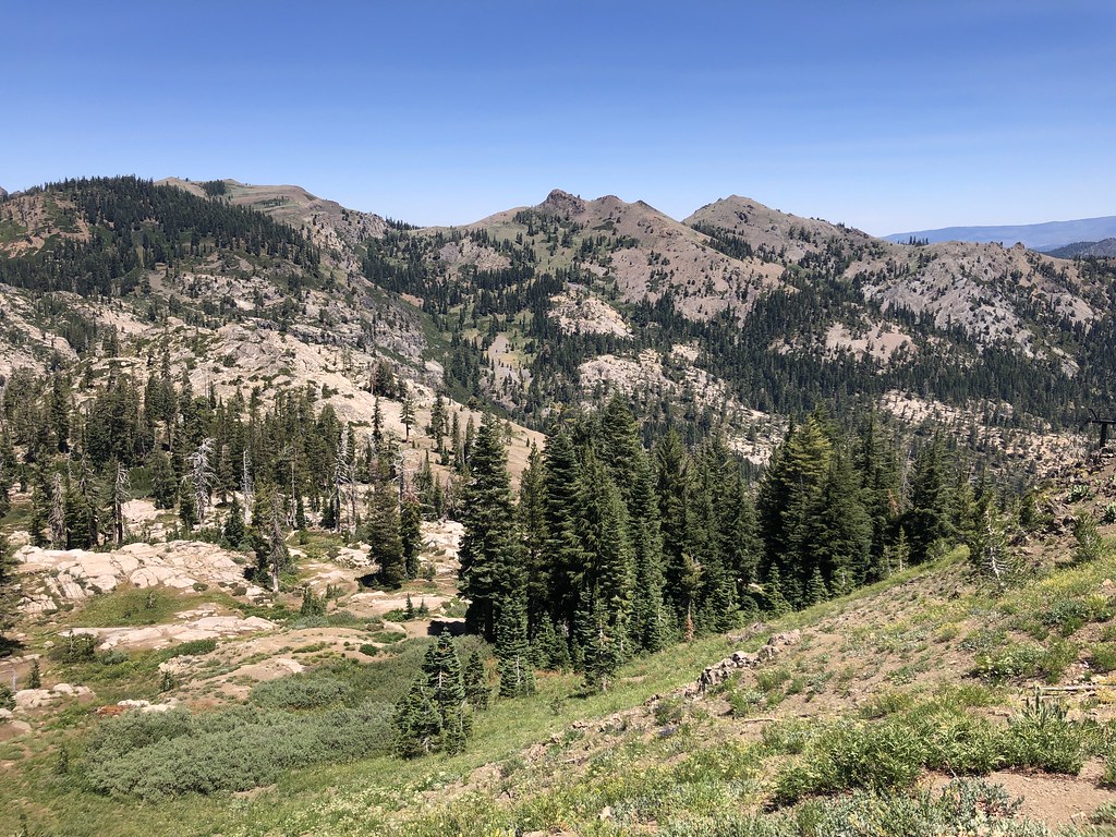 Western States TrailHiking · ~6 min drivePhoto: Ken Lund, CC BY-SA 2.0 (via Flickr)
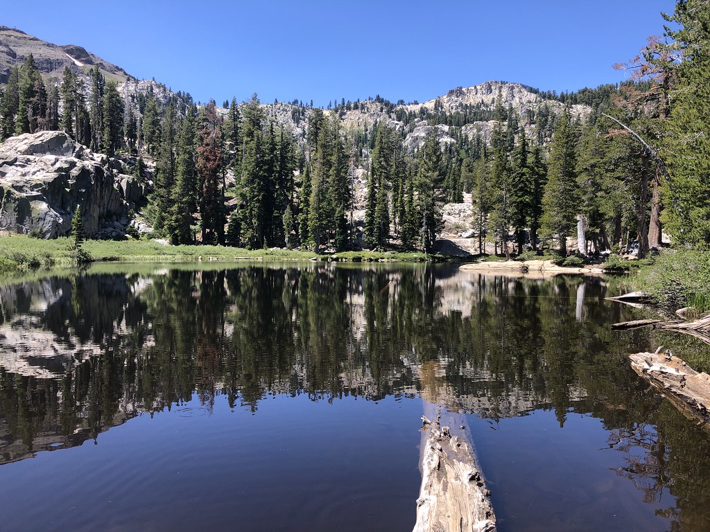 Shirley Lake TrailHiking · ~5 min drivePhoto: Ken Lund, CC BY-SA 2.0 (via Flickr)
 POLE CREEK NORDICHiking · ~7 min drivePhoto: mangtronix, CC BY-SA 2.0 (via Flickr)
 Historic Western States TrailHiking · ~9 min drivePhoto: schvin, CC BY 2.0 (via Flickr)
 Thunder MountainHiking · ~7 min drivePhoto: Ken Lund, CC BY-SA 2.0 (via Flickr)
 Western States TrailHiking · ~8 min drivePhoto: Squaw Valley Lodge, CC BY-SA 2.0 (via Wikimedia Commons)
Also worth it near here
 Tinker KnobSummit · Next doorPhoto: Tim Berger, CC BY 2.0 (via Wikimedia Commons)
 Center WallRock climbing · ~5 min drivePhoto: Ken Lund, CC BY-SA 2.0 (via Flickr)
About 15.8 mi round trip.
About 6,544 ft of climbing round trip.
It is rated expert.
About 7 hours round trip.
Map and trail data © OpenStreetMap contributors
