West Fork San Dimas Tk Trail
 Photo: waterarchives, CC BY-SA 2.0 (via Flickr)
- 4.9 mi
- round trip
- 2,542 ft
- climb
- 2,720 ft
- high point
- Out and back
- route
Is West Fork San Dimas Tk Trail open right now?
Alert in the area
The Forest Service lists 7 alerts for Angeles National Forest.
Rincon-Redbox Road (2N24) Closure
Agency alert covering Angeles National Forest · Order 05-01-26-13 · USFS · Angeles National Forest
Fire Danger Level Elevated to "Very High"
Agency alert covering Angeles National Forest · USFS · Angeles National Forest
San Gabriel Canyon OHV Area Prohibitions
Agency alert covering Angeles National Forest · Order 05-01-26-09 · USFS · Angeles National Forest
San Dimas Experimental Forest Closure
Agency alert covering Angeles National Forest · USFS · Angeles National Forest
Eaton Fire Area Closure
Agency alert covering Angeles National Forest · Order 05-01-26-04 · USFS · Angeles National Forest
As of · Source: USFS · Angeles National Forest. Agencies don't list every closure — check before you go.
West Fork San Dimas Tk Trail is a hard hike in California's Angeles National Forest, within the San Gabriel Mountains National Monument Ranger District. The trail is an out-and-back route of about 10 miles, with a total elevation gain of about 2,500 feet. The climb is front-loaded, and the steepest stretch comes at about 4.4 miles, where the grade reaches 25 percent. The high point is about 2,720 feet, and the trail starts at roughly 1,530 feet. The trip takes about 4.5 hours. The Forest Service manages the land, and the trail is part of the national forest's network of routes in the San Gabriel Mountains. Several other trails sit close by. Sunset Ridge Truck Trail is about 1.3 miles away, and Marshall Canyon Trail and Johnstone Peak Truck Trail are each about 2 miles off. For an overnight stay, Coldbrook Campground is about 9.5 miles away.
- Sunset Ridge Truck TrailHikingPhoto: waterarchives, CC BY-SA 2.0 (via Flickr)1.3 mi
 Marshall Canyon TrailHikingPhoto: roguelazer, CC BY-SA 2.0 (via Flickr)2 mi
- Stephens Ranch Spur TrailHiking2 mi
- Johnstone Peak Truck TrailHiking2.1 mi
 Marshall Miller Connector TrailHikingPhoto: roguelazer, CC BY-SA 2.0 (via Flickr)2.1 mi
 San Gabriel RiverCanoeingPhoto: Emarateyya, Muna Al Zaabi, CC BY-SA 3.0 (via Wikimedia Commons)5 mi
- Coldbrook CampgroundCamping9.5 mi
- Mount Baldy RoadRock climbing9.9 mi
Source: Roamze catalog (indexable pages within 10 miles, PostGIS distance)
- Sunset Ridge Truck TrailHiking · ~2 min drivePhoto: waterarchives, CC BY-SA 2.0 (via Flickr)
- Marshall Canyon TrailHiking · ~3 min drivePhoto: roguelazer, CC BY-SA 2.0 (via Flickr)
- Marshall Miller Connector TrailHiking · ~4 min drivePhoto: roguelazer, CC BY-SA 2.0 (via Flickr)
- Burbank TrailHiking · ~5 min drivePhoto: roguelazer, CC BY-SA 2.0 (via Flickr)
- Upper Monroe Truck TrailHiking · ~6 min drive
- Gale TrailHiking · ~5 min drivePhoto: roguelazer, CC BY-SA 2.0 (via Flickr)
- Miller Lateral TrailHiking · ~4 min drivePhoto: roguelazer, CC BY-SA 2.0 (via Flickr)
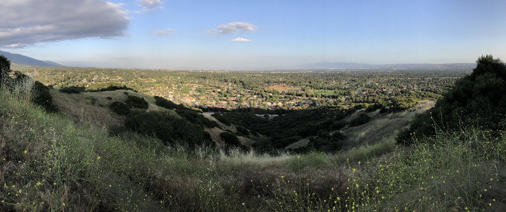 Cobal Canyon TrailHiking · ~7 min drivePhoto: GSEC, CC BY 2.0 (via Flickr)
 Wren Meacham TrailHiking · ~6 min drivePhoto: InSapphoWeTrust from Los Angeles, California, USA, CC BY-SA 2.0 (via Wikimedia Commons)
- Sycamore Canyon TrailHiking · ~6 min drivePhoto: GSEC, CC BY 2.0 (via Flickr)
Map and trail data © OpenStreetMap contributors
