Sunset Ridge Truck Trail
 Photo: waterarchives, CC BY-SA 2.0 (via Flickr)
- 5.3 mi
- round trip
- 4,644 ft
- climb
- 3,601 ft
- high point
- Out and back
- route
Clear today
Weather is good · OpenWeather · checked 7 h ago
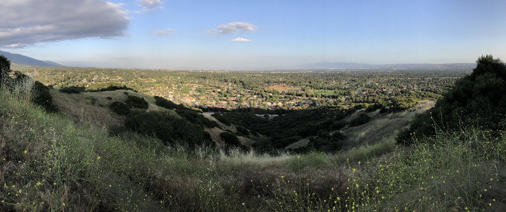
Sunset Ridge Truck Trail is a 10.7-mile out-and-back hike in California, about 3.3 miles from the town of La Verne. The route rises from a low point of 1,556 feet to a high of 3,601 feet, with a total elevation gain of 4,644 feet over the course of the trip. The climb is front-loaded, and the steepest stretch comes at about 1.6 miles in, where the grade reaches 35 percent. The trail is rated expert, and the round trip takes about six hours. The route is long and steep, with the most dramatic climb in the first part of the hike. Several other trails sit within a short drive. Marshall Canyon Trail is about 1.2 miles away, and West Fork San Dimas Tk Trail and Stephens Ranch Spur Trail are each within about 1.4 miles. For time on the water, the San Gabriel River is about 6.1 miles away.
- Marshall Canyon TrailHiking1.2 mi
- West Fork San Dimas Tk TrailHikingPhoto: waterarchives, CC BY-SA 2.0 (via Flickr)1.3 mi
- Stephens Ranch Spur TrailHiking1.4 mi
- Johnstone Peak Truck TrailHiking2 mi
 Marshall Miller Connector TrailHikingPhoto: roguelazer, CC BY-SA 2.0 (via Flickr)2.2 mi
- Webb Canyon TrailHiking2.2 mi
 Miller Lateral TrailHikingPhoto: roguelazer, CC BY-SA 2.0 (via Flickr)2.3 mi
 San Gabriel RiverCanoeingPhoto: Emarateyya, Muna Al Zaabi, CC BY-SA 3.0 (via Wikimedia Commons)6.1 mi
Source: Roamze catalog (indexable pages within 10 miles, PostGIS distance)
- West Fork San Dimas Tk TrailHiking · ~2 min drivePhoto: waterarchives, CC BY-SA 2.0 (via Flickr)
- Marshall Canyon TrailHiking · ~3 min drivePhoto: roguelazer, CC BY-SA 2.0 (via Flickr)
- Marshall Miller Connector TrailHiking · ~4 min drivePhoto: roguelazer, CC BY-SA 2.0 (via Flickr)
- Upper Monroe Truck TrailHiking · ~8 min drive
- Burbank TrailHiking · ~4 min drivePhoto: roguelazer, CC BY-SA 2.0 (via Flickr)
- Gale TrailHiking · ~4 min drivePhoto: roguelazer, CC BY-SA 2.0 (via Flickr)
- Miller Lateral TrailHiking · ~4 min drivePhoto: roguelazer, CC BY-SA 2.0 (via Flickr)
 Cobal Canyon TrailHiking · ~6 min drivePhoto: GSEC, CC BY 2.0 (via Flickr)
 Wren Meacham TrailHiking · ~6 min drivePhoto: InSapphoWeTrust from Los Angeles, California, USA, CC BY-SA 2.0 (via Wikimedia Commons)
- Sycamore Canyon TrailHiking · ~5 min drivePhoto: GSEC, CC BY 2.0 (via Flickr)
Map and trail data © OpenStreetMap contributors
