Vista Trail
- 0.3 mi
- round trip
- 336 ft
- climb
- 2,064 ft
- high point
- Out and back
- route
- Oct–Jun
- best months
Vista Trail is a short, easy hike in California, about 0.4 miles from the community of Sonora Knolls. The trail is an out-and-back route of about 0.66 miles, with a total climb of 336 feet and a high point of 2064 feet. The steepest stretch comes early, at about 0.1 mile from the start, where the grade reaches 18 percent. Spring and fall are the most comfortable times to go. Typical averages from a nearby weather station in Sonora show May and October highs around 76°F, while July and August average in the low 90s. Cutback Trail and Ridge Trail both start about 0.1 mile away, and Creekside Trail, a mountain biking route, is about 0.2 mile off. For paddling, Sullivan Creek is about 3 miles away.
- Cutback TrailHiking0.1 mi
- Ridge TrailHiking0.1 mi
- Creekside TrailMountain biking0.2 mi
- Sullivan CreekCanoeing3 mi
- Labyrinth MainRock climbing3.2 mi
- The LabyrinthRock climbing3.2 mi
- Waterway CavesRock climbing3.2 mi
 Stanislaus RiverCanoeingPhoto: Michael Nevins, U.S. Army Corps of Engineers, Public domain (via Wikimedia Commons)9.1 mi
Source: Roamze catalog (indexable pages within 10 miles, PostGIS distance)
 Fox Ravine TrailHiking · ~10 min drivePhoto: Genista, CC BY-SA 2.0 (via Flickr)
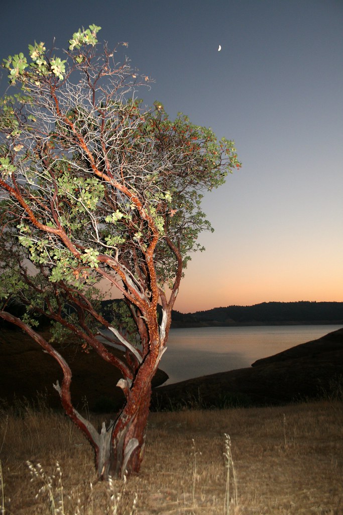 Heron Point TrailHiking · ~11 min drivePhoto: Genista, CC BY-SA 2.0 (via Flickr)
 Carson Creek TrailHiking · ~13 min drivePhoto: cogdogblog, CC BY 2.0 (via Flickr)
- Black Bear Loop TrailHiking · ~10 min drivePhoto: Genista, CC BY-SA 2.0 (via Flickr)
 Soaproot Ridge TrailHiking · ~19 min drivePhoto: Adam Schultz, CC BY 3.0 (via Wikimedia Commons)
 Elliots CabinHiking · ~13 min drivePhoto: Northwest Rafting Company, CC BY 2.0 (via Flickr)
- Kingsnake Loop TrailHiking · ~10 min drivePhoto: Genista, CC BY-SA 2.0 (via Flickr)
 DEER CREEK (UPPER)Hiking · ~24 min drivePhoto: srsmedly, CC BY-SA 3.0 (via Wikimedia Commons)
 Twain Harte HorsemenHiking · ~19 min drivePhoto: srsmedly, CC BY-SA 3.0 (via Wikimedia Commons)
 Ringneck Run TrailHiking · ~10 min drivePhoto: adrielhampton, CC BY 2.0 (via Flickr)
Best time to visit Vista Trail
Best months: October–June. Best months have typical highs of 55–85 °F, lows of 30 °F or warmer (32 °F where the station doesn't record snow), at most one snowy day and no more than 12 wet days.
Jan
56° / 33°
10 wet
Feb
58° / 34°
10 wet
Mar
62° / 37°
10 wet
Apr
67° / 40°
6 wet
May
76° / 45°
4 wet
Jun
85° / 51°
1 wet
Jul
93° / 57°
0 wet
Aug
92° / 56°
0 wet
Sep
87° / 51°
1 wet
Oct
76° / 43°
4 wet
Nov
63° / 36°
7 wet
Dec
55° / 32°
10 wet
Typical high / low (°F) and days with rain or snow, 1991–2020. Measured at Sonora, CA, 1.3 mi away at 1,675 ft. Source: NOAA NCEI U.S. Climate Normals 1991–2020.

Map and trail data © OpenStreetMap contributors
