Elliots Cabin
 Photo: Northwest Rafting Company, CC BY 2.0 (via Flickr)
- 8.6 mi
- round trip
- 1,753 ft
- climb
- 2,962 ft
- high point
- Out and back
- route
- Oct–Jun
- best months
Elliots Cabin is an out-and-back hike on Bureau of Land Management land in California's Mother Lode Field Office, about 8.6 miles long with a one-way climb of 1,753 feet from a low point of 1,382 feet to a high of 2,962 feet. The route is rated hard, and the climb makes it a serious outing rather than a short walk. Spring and fall are the most comfortable times to go. Typical averages from a nearby weather station in Sonora show May highs around 76°F and October highs around 76°F, while July and August average highs in the low 90s. The trail is natural surfaced and allows both horses and bikes. It is open year-round. The Stanislaus River, a paddling route, lies about 1.6 miles away. Climbers can head to Horse Trail Boulders and Stage Coach Boulders, both about 4.1 miles off. The Knight Creek hike is about 5 miles away.
Best time to go · Oct–Jun
Best time to visit Elliots Cabin
Best months: October–June. Best months have typical highs of 55–85 °F, lows of 30 °F or warmer (32 °F where the station doesn't record snow), at most one snowy day and no more than 12 wet days.
Jan
56° / 33°
10 wet
Feb
58° / 34°
10 wet
Mar
62° / 37°
10 wet
Apr
67° / 40°
6 wet
May
76° / 45°
4 wet
Jun
85° / 51°
1 wet
Jul
93° / 57°
0 wet
Aug
92° / 56°
0 wet
Sep
87° / 51°
1 wet
Oct
76° / 43°
4 wet
Nov
63° / 36°
7 wet
Dec
55° / 32°
10 wet
Typical high / low (°F) and days with rain or snow, 1991–2020. Measured at Sonora, CA, 8.7 mi away at 1,675 ft. The station sits about 1,300 ft lower than this place, so expect it a little cooler here. Source: NOAA NCEI U.S. Climate Normals 1991–2020.
Keep exploring — more trails worth the drive
 Photo: sivart13, CC BY 2.0 (via Flickr)
Oxidine West
~13 min drive
2.50-mile out-and-back trail in California with 401 ft elevation gain.
 Photo: cogdogblog, CC BY 2.0 (via Flickr)
Carson Creek Trail
~15 min drive
7.18-mile out-and-back trail in California with 2,836 ft elevation gain
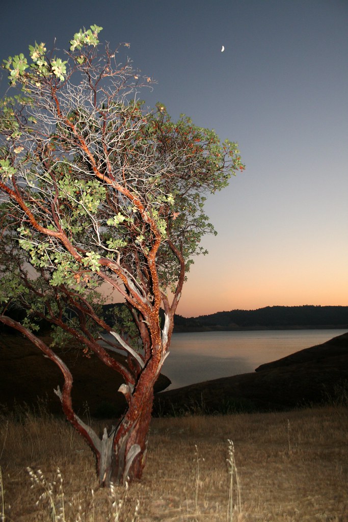 Photo: Genista, CC BY-SA 2.0 (via Flickr)
Heron Point Trail
~17 min drive
5.26-mile out-and-back trail in California with 1,663 ft elevation gain
Photo: sivart13, CC BY 2.0 (via Flickr)Cone Hill
~14 min drive
1.28-mile out-and-back trail to Cone Hill with 713 ft gain.
 Photo: srsmedly, CC BY-SA 3.0 (via Wikimedia Commons)
Twain Harte Horsemen
~16 min drive
3.21-mile out-and-back trail in California with 1,666 ft gain.
 Photo: srsmedly, CC BY-SA 3.0 (via Wikimedia Commons)
DEER CREEK (UPPER)
~18 min drive
4.76-mile out-and-back trail in California with 1,614 ft elevation gain.
 Photo: Jack Heart, CC BY-SA 2.0 (via Flickr)
Arnold Rim Trail
~16 min drive
Easy 1.54-mile trail with minimal elevation gain, perfect for beginners.
HIKE
Knight Creek
~9 min drive
7.18-mile out-and-back trail in California with 2,032 ft elevation gain.
HIKE
Rattlesnake
~10 min drive
Rattlesnake is a 2.07-mile out-and-back trail in California with 60 feet of elevation gain.
Photo: Jack Heart, CC BY-SA 2.0 (via Flickr)P8#2
~16 min drive
P8#2 is a 1.04-mile out-and-back trail in California with 373 feet of elevation gain.
Also worth it near here
 Photo: Michael Nevins, U.S. Army Corps of Engineers, Public domain (via Wikimedia Commons)
Stanislaus River
~3 min drive
 Photo: Genista, CC BY-SA 2.0 (via Flickr)
Lower Arboretum
~7 min drive
 Photo: srsmedly, CC BY-SA 3.0 (via Wikimedia Commons)
Noonday Mne
~7 min drive
BED
Columbia Airport Campground
~8 min drive
