San Francisco RV Resort
Campground
Campground · 4.7 mi from the trail
 Photo: Vicki Moore, CC BY 2.0 (via Wikimedia Commons)
Alert in the area
The National Park Service lists 2 alerts for Golden Gate National Recreation Area.
Beach Hazards and High Surf November 17-19
Park alert covering Golden Gate National Recreation Area · NPS · Golden Gate National Recreation Area
Auto-Theft Warning - Only Bring What You Need to the Park
Park alert covering Golden Gate National Recreation Area · NPS · Golden Gate National Recreation Area
As of · Source: NPS · Golden Gate National Recreation Area. Agencies don't list every closure — check before you go.
Valley View Trail is a moderate out-and-back hike in California's Golden Gate National Recreation Area, within San Pedro Valley Park on county land. The trail is about 2.9 miles long, with a total elevation gain of 1,179 feet, and the high point reaches 610 feet. The route is rolling, and the steepest stretch comes at about mile 1, where the grade reaches 23%. Late summer into early fall is the most comfortable time to go. Typical averages from a nearby weather station in Pacifica show highs around 71 to 72°F in August and September, with only one or two wet days a month. Winter brings highs in the upper 50s and about 10 to 11 wet days a month. The trail makes an easy addition to a day of hiking in the area. Montara Mountain Trail starts just 0.2 miles away, and Weiler Ranch Trail and Hazelnut Trail are both within a mile. For climbing, Pacifica Headlands is about 2.5 miles off.
San Francisco RV Resort
Campground
Good Fellas Pizza & Pasta
Restaurant
Historical building, former farm, and museum in Half Moon Bay, California
Places © OpenStreetMap contributors
More in PescaderoNot on Roamze yet. Their page has how to reach them.
Montara Mountain TrailHikingPhoto: Vicki Moore, CC BY 2.0 (via Wikimedia Commons)0.2 mi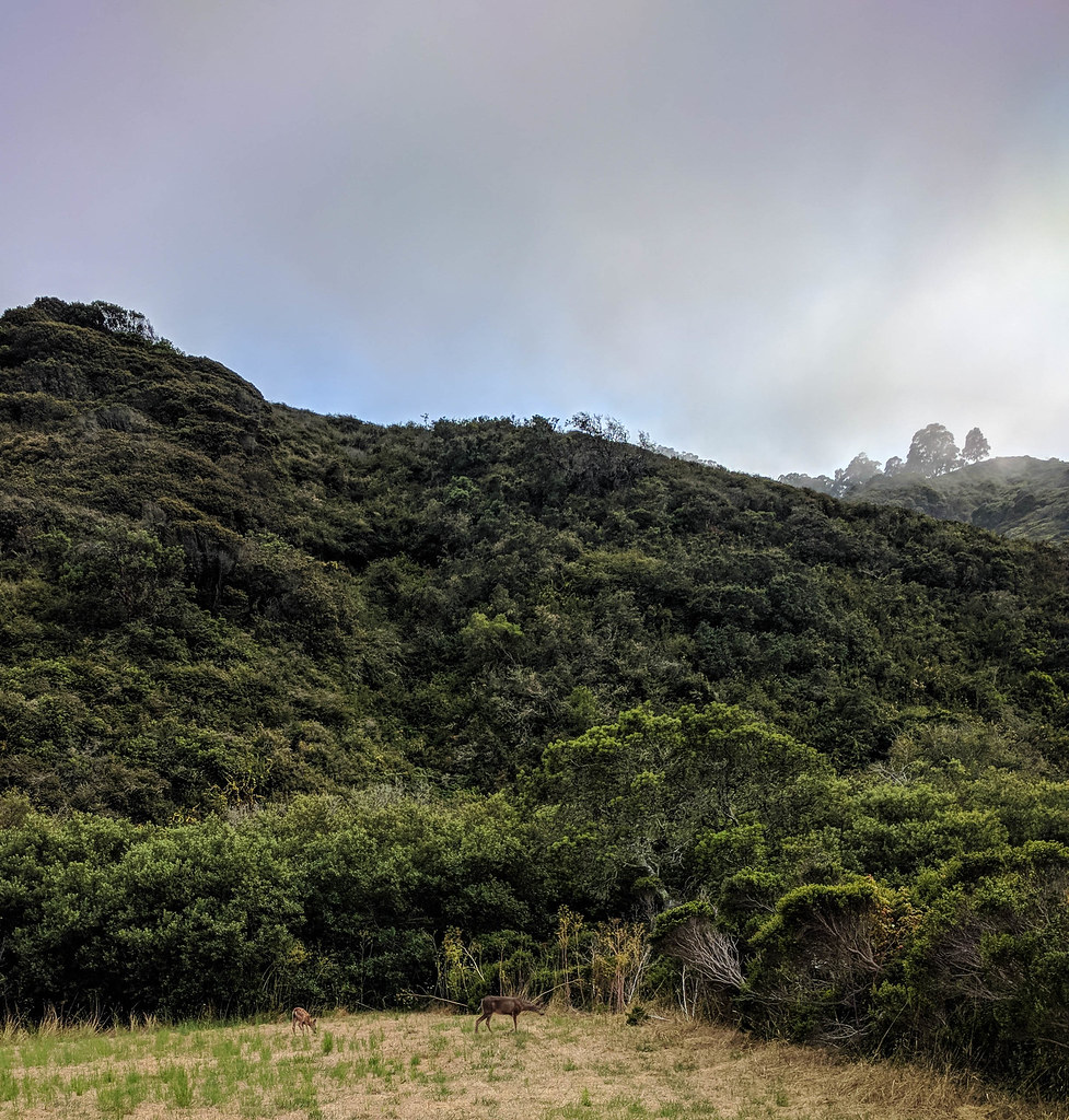 Weiler Ranch TrailHikingPhoto: npdoty, CC BY 2.0 (via Flickr)0.6 mi
 Brooks Creek TrailHikingPhoto: dbaron, CC BY-SA 2.0 (via Flickr)0.8 mi
 Alta Vista TrailHikingPhoto: scorpio-tiger, CC BY-SA 2.0 (via Flickr)1.3 mi
 Sweeney Horse TrailHikingPhoto: Richard Wood, CC BY-SA 3.0 (via Wikimedia Commons)1.4 mi
Source: Roamze catalog (indexable pages within 10 miles, PostGIS distance)
Montara Mountain TrailHiking · Next doorPhoto: Vicki Moore, CC BY 2.0 (via Wikimedia Commons)Old Trout Farm Loop TrailHiking · Next doorPhoto: dbaron, CC BY-SA 2.0 (via Flickr)Alta Vista TrailHiking · ~2 min drivePhoto: scorpio-tiger, CC BY-SA 2.0 (via Flickr)Brooks Creek TrailHiking · ~1 min drivePhoto: dbaron, CC BY-SA 2.0 (via Flickr)Weiler Ranch TrailHiking · ~1 min drivePhoto: npdoty, CC BY 2.0 (via Flickr)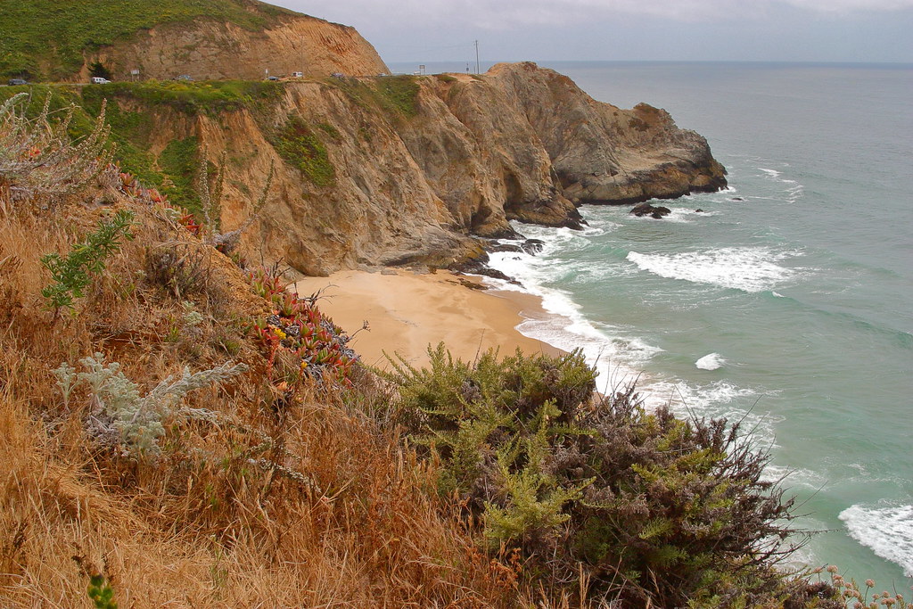 Gray Whale Cove TrailHiking · ~5 min drivePhoto: Wloski, CC BY-SA 2.0 (via Flickr)Sweeney Horse TrailHiking · ~2 min drivePhoto: Richard Wood, CC BY-SA 3.0 (via Wikimedia Commons)
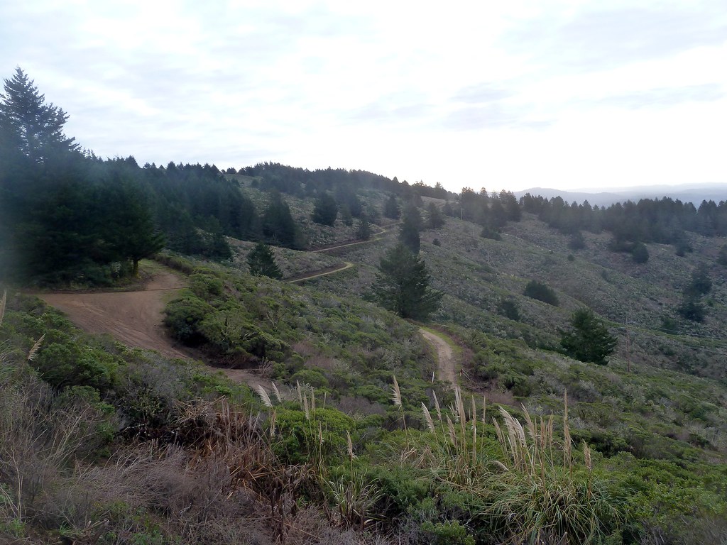 Scarpers TrailHiking · ~5 min drivePhoto: scorpio-tiger, CC BY-SA 2.0 (via Flickr)
 Farallones View TrailHiking · ~3 min drivePhoto: S D, CC BY 3.0 (via Wikimedia Commons)
Best months: Year-round. Best months have typical highs of 55–85 °F, lows of 30 °F or warmer (32 °F where the station doesn't record snow), at most one snowy day and no more than 12 wet days.
Jan
58° / 45°
11 wet
Feb
60° / 46°
11 wet
Mar
61° / 46°
9 wet
Apr
64° / 48°
6 wet
May
67° / 49°
4 wet
Jun
69° / 51°
2 wet
Jul
69° / 52°
1 wet
Aug
71° / 53°
1 wet
Sep
72° / 53°
2 wet
Oct
70° / 52°
4 wet
Nov
64° / 50°
7 wet
Dec
59° / 46°
10 wet
Typical high / low (°F) and days with rain or snow, 1991–2020. Measured at Pacifica 4 Sse, CA, 0.8 mi away at 475 ft. Source: NOAA NCEI U.S. Climate Normals 1991–2020.
Map and trail data © OpenStreetMap contributors

