San Francisco RV Resort
Campground
Campground · 5.0 mi from the trail
 Photo: dbaron, CC BY-SA 2.0 (via Flickr)
Alert in the area
The National Park Service lists 2 alerts for Golden Gate National Recreation Area.
Beach Hazards and High Surf November 17-19
Park alert covering Golden Gate National Recreation Area · NPS · Golden Gate National Recreation Area
Auto-Theft Warning - Only Bring What You Need to the Park
Park alert covering Golden Gate National Recreation Area · NPS · Golden Gate National Recreation Area
As of · Source: NPS · Golden Gate National Recreation Area. Agencies don't list every closure — check before you go.
Old Trout Farm Loop Trail is a 1.54-mile out-and-back hike in California with 729 feet of elevation gain and loss. The trail reaches a maximum elevation of 548 feet.
San Francisco RV Resort
Campground
Good Fellas Pizza & Pasta
Restaurant
Historical building, former farm, and museum in Half Moon Bay, California
Places © OpenStreetMap contributors
More in PescaderoNot on Roamze yet. Their page has how to reach them.
 Montara Mountain TrailHiking · Next doorPhoto: Vicki Moore, CC BY 2.0 (via Wikimedia Commons)
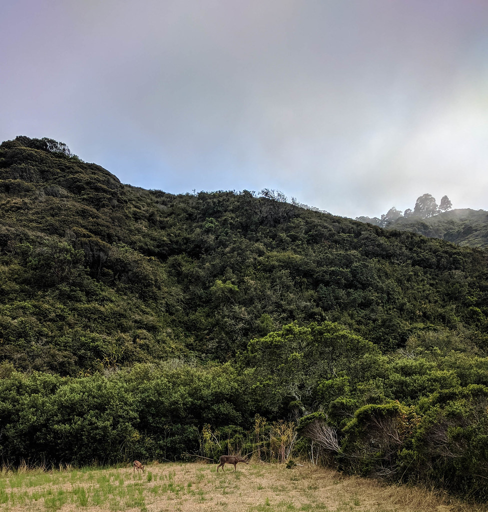 Weiler Ranch TrailHiking · ~1 min drivePhoto: npdoty, CC BY 2.0 (via Flickr)
 Alta Vista TrailHiking · ~1 min drivePhoto: scorpio-tiger, CC BY-SA 2.0 (via Flickr)Brooks Creek TrailHiking · Next doorPhoto: dbaron, CC BY-SA 2.0 (via Flickr)
 San Pedro Mountain TrailHiking · ~3 min drivePhoto: npdoty, CC BY 2.0 (via Flickr)Valley View TrailHiking · Next doorPhoto: Vicki Moore, CC BY 2.0 (via Wikimedia Commons)
 San Pedro Mountain TrailHiking · ~3 min drivePhoto: Bob n Renee, CC BY 2.0 (via Flickr)
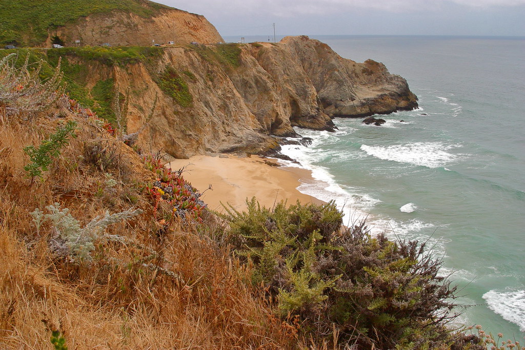 Gray Whale Cove TrailHiking · ~4 min drivePhoto: Wloski, CC BY-SA 2.0 (via Flickr)
 Sweeney Horse TrailHiking · ~3 min drivePhoto: Richard Wood, CC BY-SA 3.0 (via Wikimedia Commons)
Best months: Year-round. Best months have typical highs of 55–85 °F, lows of 30 °F or warmer (32 °F where the station doesn't record snow), at most one snowy day and no more than 12 wet days.
Jan
58° / 45°
11 wet
Feb
60° / 46°
11 wet
Mar
61° / 46°
9 wet
Apr
64° / 48°
6 wet
May
67° / 49°
4 wet
Jun
69° / 51°
2 wet
Jul
69° / 52°
1 wet
Aug
71° / 53°
1 wet
Sep
72° / 53°
2 wet
Oct
70° / 52°
4 wet
Nov
64° / 50°
7 wet
Dec
59° / 46°
10 wet
Typical high / low (°F) and days with rain or snow, 1991–2020. Measured at Pacifica 4 Sse, CA, 1.2 mi away at 475 ft. Source: NOAA NCEI U.S. Climate Normals 1991–2020.
Map and trail data © OpenStreetMap contributors

