Pillar Point RV Park
Campground
Campground · 2.9 mi from the trail
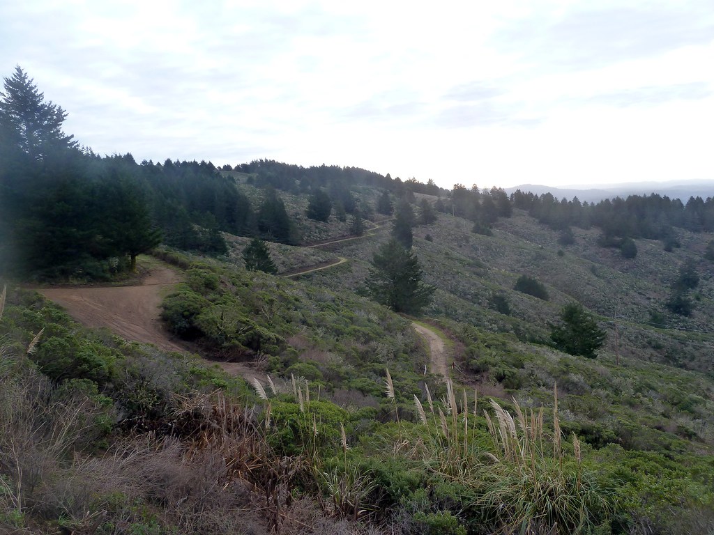 Photo: scorpio-tiger, CC BY-SA 2.0 (via Flickr)
Scarpers Trail is a 4-mile out-and-back hike on Scarper Ridge in California, managed by a non-governmental organization. The trail rises from a starting point of about 1,400 feet to a high point of 1,580 feet, with a total elevation gain of 1,953 feet over the round trip. The climb is steady, and the steepest stretch comes at about 0.47 miles in, with a grade of 15 percent. The most comfortable time to go is late summer into early fall. Typical averages from a nearby weather station in Pacifica show September highs around 72°F with lows near 53°F and only about two wet days in the month. That station sits roughly 1,100 feet lower than the trail, so temperatures on the ridge run cooler. The hike takes about 2.5 hours. Deer Creek Trail is about a mile away, and Clipper Ridge Trail and Alta Vista Trail are within about 2.5 miles. For climbing, Pacifica Headlands is about 5.6 miles off.
Pillar Point RV Park
Campground
Historical building, former farm, and museum in Half Moon Bay, California
Places © OpenStreetMap contributors, Places © Overture Maps Foundation
More in PescaderoNot on Roamze yet. Their page has how to reach them.
 Deer Creek TrailHikingPhoto: scorpio-tiger, CC BY-SA 2.0 (via Flickr)1.1 mi
 Clipper Ridge Trail (God's)HikingPhoto: scorpio-tiger, CC BY-SA 2.0 (via Flickr)1.5 mi
 Alta Vista TrailHikingPhoto: scorpio-tiger, CC BY-SA 2.0 (via Flickr)2.5 mi
Source: Roamze catalog (indexable pages within 10 miles, PostGIS distance)
Deer Creek TrailHiking · ~2 min drivePhoto: scorpio-tiger, CC BY-SA 2.0 (via Flickr)Alta Vista TrailHiking · ~4 min drivePhoto: scorpio-tiger, CC BY-SA 2.0 (via Flickr) French Trail (God's)Hiking · ~5 min drivePhoto: MUSTAD MARINE, Public Domain Mark (via Flickr)Clipper Ridge Trail (God's)Hiking · ~3 min drivePhoto: scorpio-tiger, CC BY-SA 2.0 (via Flickr)
 Spine TrailHiking · ~5 min drivePhoto: btwashburn, CC BY 2.0 (via Flickr)Almeria TrailHiking · ~4 min drivePhoto: MUSTAD MARINE, Public Domain Mark (via Flickr)
 Montara Mountain TrailHiking · ~5 min drivePhoto: Vicki Moore, CC BY 2.0 (via Wikimedia Commons)
 Weiler Ranch TrailHiking · ~4 min drivePhoto: npdoty, CC BY 2.0 (via Flickr)Valley View TrailHiking · ~5 min drivePhoto: Vicki Moore, CC BY 2.0 (via Wikimedia Commons)
Best months: Year-round. Best months have typical highs of 55–85 °F, lows of 30 °F or warmer (32 °F where the station doesn't record snow), at most one snowy day and no more than 12 wet days.
Jan
58° / 45°
11 wet
Feb
60° / 46°
11 wet
Mar
61° / 46°
9 wet
Apr
64° / 48°
6 wet
May
67° / 49°
4 wet
Jun
69° / 51°
2 wet
Jul
69° / 52°
1 wet
Aug
71° / 53°
1 wet
Sep
72° / 53°
2 wet
Oct
70° / 52°
4 wet
Nov
64° / 50°
7 wet
Dec
59° / 46°
10 wet
Typical high / low (°F) and days with rain or snow, 1991–2020. Measured at Pacifica 4 Sse, CA, 3.8 mi away at 475 ft. The station sits about 1,100 ft lower than this place, so expect it a little cooler here. Source: NOAA NCEI U.S. Climate Normals 1991–2020.
Map and trail data © OpenStreetMap contributors

