Yellow Pine Administrative Campground
Campground
Campground · 0.3 mi from the trail
Closure in the area
There's a closure order in Yosemite National Park. It doesn't name Valley Shuttle Stop 11: Four Mile Trailhead, so check the source for the area it covers (3 listed).
Big Oak Flat Road will close Nov 18 at 8 am
Park closure covering Yosemite National Park · NPS · Yosemite National Park
Campgrounds and Curry Village tent cabins are closed due to a winter storm
Park closure covering Yosemite National Park · NPS · Yosemite National Park
Tioga and Glacier Point Roads are closed due snow
Park closure covering Yosemite National Park · NPS · Yosemite National Park
As of · Source: NPS · Yosemite National Park. Agencies don't list every closure — check before you go.
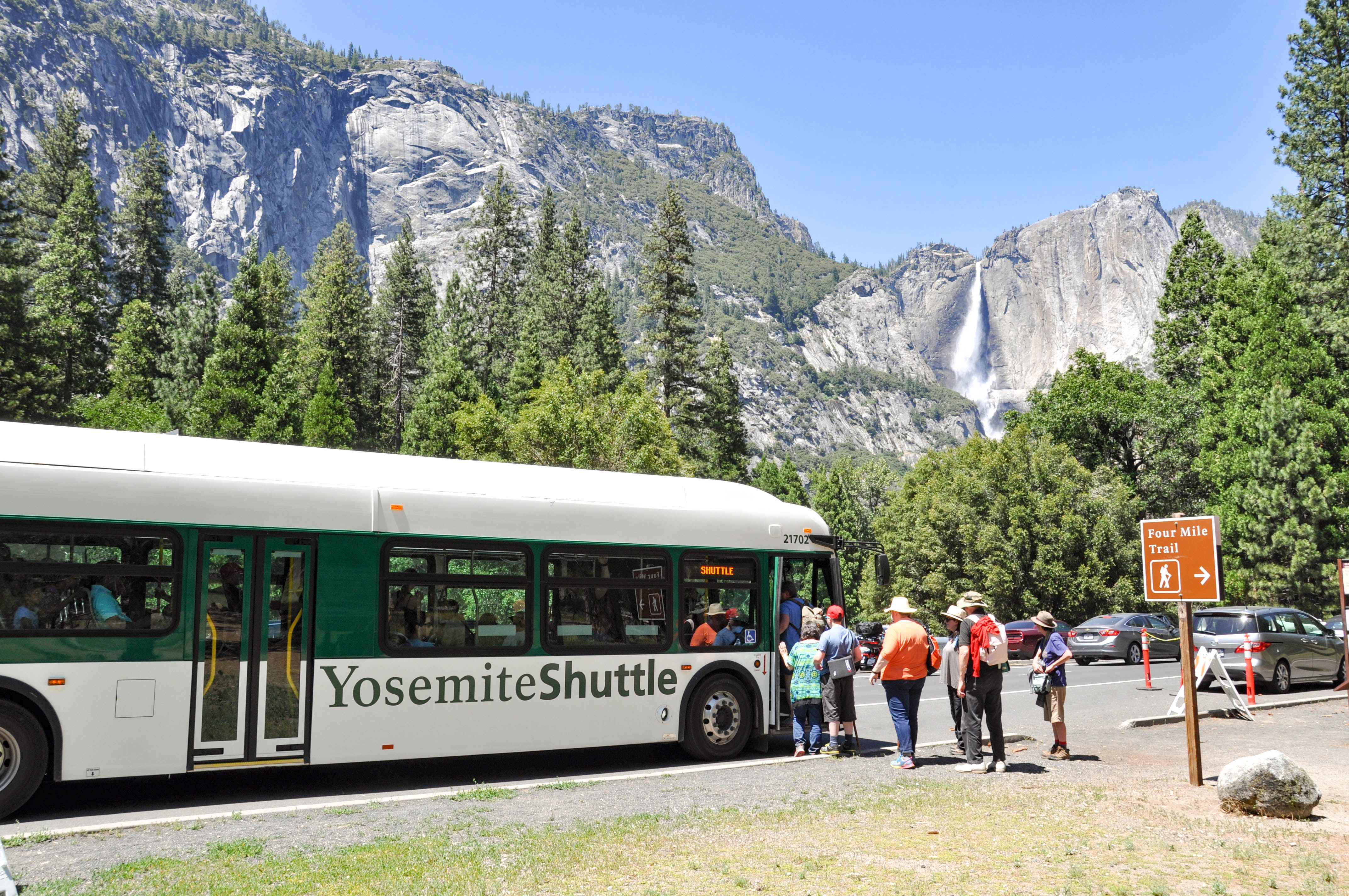
This shuttle stop is served by the Valleywide Shuttle route only. There is no covered shelter or benches at this shuttle stop. Yosemite Valley shuttles are free and operate from 7 am to 10 pm daily. During hours of operation, the Valleywide Shuttle runs approximately every 22-32 minutes. No ticket is required. Passengers may board and disembark at any stop. What's Nearby • Four Mile Trail trailhead • Sentinel Beach picnic area • Valley Loop Trail Shuttle Tips & Accessibility • Pets are not allowed on shuttles. • Allow wheelchairs to board first. • Collapse strollers before boarding. • No oversized or jogging strollers. • Remove baby-back carriers when seated. • Shuttles only stop at designated stops. • No smoking on shuttles. All shuttles are accessible with wheelchair lifts and tie-downs. The maximum size for wheelchairs on shuttles is 24 inches wide x 46 inches long. Shuttle drivers will help passengers on and off shuttles or notify them of stops. If you need assistance, ask the driver.
Yellow Pine Administrative Campground
Campground
Union Point
Viewpoint
Mountain in California, United States of America
Places © OpenStreetMap contributors, Places © Overture Maps Foundation
More in Yosemite ValleyNot on Roamze yet. Their page has how to reach them.
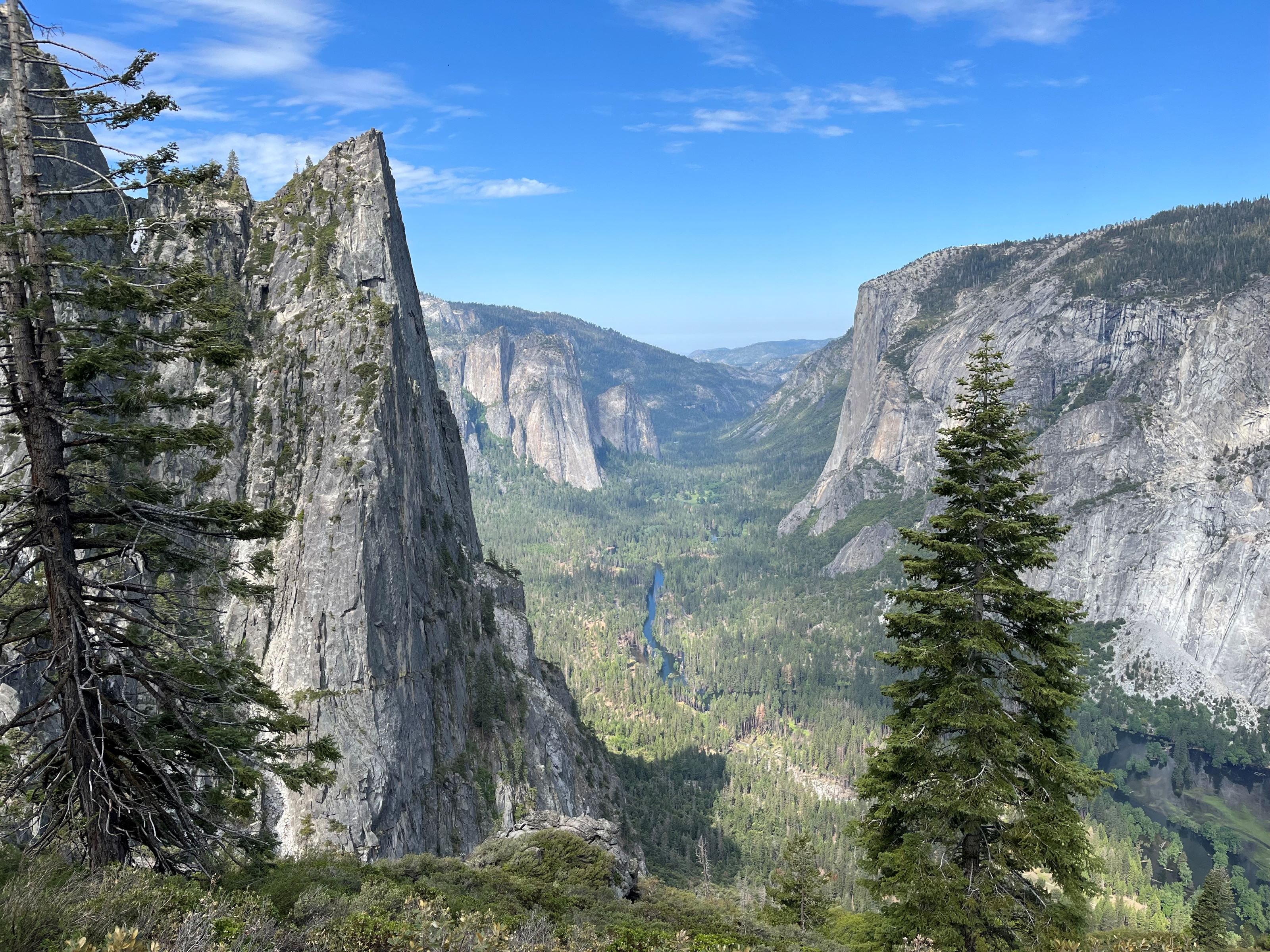 Four Mile TrailheadHiking0.1 mi
 B-1 BoulderRock climbingPhoto: msprague, CC BY-SA 2.0 (via Flickr)0.1 miSentinel BouldersRock climbingPhoto: msprague, CC BY-SA 2.0 (via Flickr)0.2 mi
 Camp 4 WestHikingPhoto: mlcastle, CC BY-SA 2.0 (via Flickr)0.6 mi
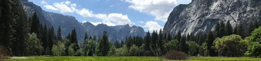 Lower Pines CampgroundCampingPhoto: Recreation.gov (RIDB) / public domain2 mi
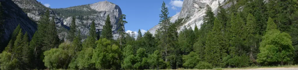 North Pines CampgroundCampingPhoto: Recreation.gov (RIDB) / public domain2.1 mi
 Merced RiverCanoeingPhoto: Kylir Horton from Eagle Mountain, Utah, United States, CC BY 2.0 (via Wikimedia Commons)5.3 mi
Source: Roamze catalog (indexable pages within 10 miles, PostGIS distance)
Camp 4 WestHiking · Next doorPhoto: mlcastle, CC BY-SA 2.0 (via Flickr)Yosemite Falls TrailHiking · ~1 min drivePhoto: mlcastle, CC BY-SA 2.0 (via Flickr) Panorama TrailHiking · ~3 min drivePhoto: Sebastien Lovcoffee, CC BY-SA 3.0 (via Wikimedia Commons)
 John Muir TrailHiking · ~6 min drivePhoto: Richard Wood, CC BY-SA 3.0 (via Wikimedia Commons)
 Lower Yosemite Fall TrailHiking · ~2 min drivePhoto: Dennis Heller, CC BY 2.0 (via Flickr)
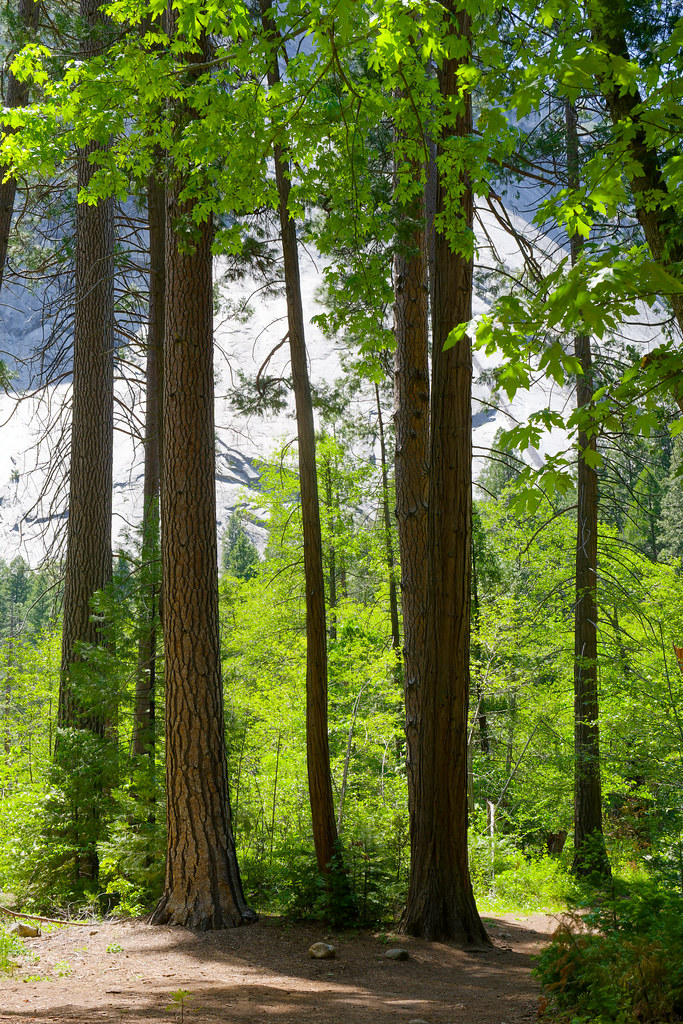 Bike PathHiking · ~3 min drivePhoto: mlcastle, CC BY-SA 2.0 (via Flickr)
 Merced Pass TrailHiking · ~10 min drivePhoto: Justin.Johnsen, CC BY-SA 3.0 (via Wikimedia Commons)
 Pohono TrailHiking · ~5 min drivePhoto: Richard Wood, CC BY-SA 3.0 (via Wikimedia Commons)
Also worth it near here
B-1 BoulderRock climbing · Next doorPhoto: msprague, CC BY-SA 2.0 (via Flickr) Camp 4Camping · Next doorPhoto: Diliff, CC BY-SA 3.0 (via Wikimedia Commons)
 Eagle PeakSummit · ~2 min drivePhoto: Glenn Scofield Williams, CC BY 2.0 (via Wikimedia Commons)
 Staircase FallsWaterfall · ~3 min drivePhoto: Ambitious Wench, CC BY-SA 2.0 (via Wikimedia Commons)
Best months: May–October. Best months have typical highs of 55–85 °F, lows of 30 °F or warmer (32 °F where the station doesn't record snow), at most one snowy day and no more than 12 wet days.
Jan
44° / 32°
10 wet
Feb
42° / 31°
9 wet
Mar
45° / 32°
10 wet
Apr
49° / 36°
8 wet
May
58° / 43°
7 wet
Jun
67° / 52°
3 wet
Jul
75° / 60°
1 wet
Aug
75° / 59°
1 wet
Sep
70° / 54°
2 wet
Oct
60° / 46°
4 wet
Nov
49° / 37°
7 wet
Dec
43° / 32°
9 wet
Typical high / low (°F) and days with rain or snow, 1991–2020. Measured at Yosemite Village 12 W, CA, 12.1 mi away at 6,620 ft. The station sits about 500 ft lower than this place, so expect it a little cooler here. This station doesn't record snowfall. Source: NOAA NCEI U.S. Climate Normals 1991–2020.
