Loading…

Free — you'll pick up right here.
Watch this trail
Sign up to watch it — saving subscribes you to gate, closure and report changes.
California
4,795 ft
Gain
We won't guess. Here is exactly what we do and don't know.
What we do know
Inside Yosemite National Park
National Park unit boundary is mapped — agency alerts for it feed this page automatically.
Boundary data
What's missing
No access route mapped
We don't yet know which road reaches this trailhead, so we can't tell you if it's gated.
Nobody's filed a report here yet — be the first.
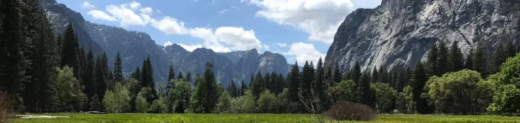
Why you'll love it
Lower Yosemite Fall Trailhead
AI-suggested draft · review before you go
No permit or access details on file for this trail — check with the local land manager before you go.
<p>This short, easy walk rewards visitors with spectacular views of both Upper and Lower Yosemite Falls. This paved loop trail offers different vantage points of Yosemite Falls and Yosemite Creek. Numerous exhibits along the trail discuss the natural and cultural history of the area. Begin the loop from either the western or eastern end, following signs directing you toward the base of the waterfall. The loop may be walked in either direction.<br /> <br /> Lower Yosemite Fall is the final 320-foot (98-meter) drop of Yosemite Falls. In spring and early summer when the waterfall peaks in volume, you can expect to get sprayed with water when standing on the footbridge near its base. The falls are often only a trickle or completely dry by late summer, then are sometimes revived again by late fall storms.<br /> <br /> <strong>Distance:</strong> 1 mile (1.6 km) loop<br /> <strong>Elevation gain: </strong>50 feet (15 m)<br /> <strong>Time estimate: </strong>30 minutes<br /> <br /> <strong>Caution: stay on the paved trail.</strong> Above the wooden footbridge that crosses Yosemite Creek, the rocks and boulders are slippery even when dry. Venturing off-trail in this area frequently leads to serious injuries.</p> <h2>Tips & Seasonal Information</h2> <p>Leashed pets are permitted on this trail. Bicycles are prohibited on the Lower Yosemite Fall loop trail. Several bicycle racks are located at the east and west end of the Lower Yosemite Fall loop. A restroom along with a water bottle filling station is located near the trailhead, on the western end of the loop across the street from Yosemite Valley Lodge.<br /> <br /> <strong>While you can visit this trail and viewing area year-round, there is often no water in the waterfall by late summer. </strong></p> <p>In winter, a cone of ice accumulates at the base of Upper Yosemite Fall, sometimes exceeding 300 feet tall. The ice cone is usually melted by mid-April. In early spring, <a href="https://cms.nps.gov/yose/planyourvisit/frazilice.htm">frazil ice</a> sometimes forms in waterfalls and creeks when waterfall mist becomes very cool.</p> <p>When waterfall flow is especially high, generally in April and May, the full moon refracting light on the waterfall mist can create a phenomenon called a moonbow. The visibility of the moonbow is highly dependent on water flow, clear skies, and angle of the moon.</p> <h2>Accessibility</h2> <p>There is no designated accessible parking nearby. Visitors may use the shuttle stop to reach the trail or travel along the paved path from the accessible parking at the west end of Yosemite Village (approximately 0.3 mile to the eastern side of the loop trail).<br /> <br /> The entire Lower Yosemite Fall loop trail is paved. The eastern part of the loop (0.6 mile one-way from the Yosemite Falls shuttle stop to the viewing area) is accessible to wheelchairs and crosses several braided streams before reaching the Lower Yosemite Fall viewing area, which has transferable seating to granite boulders at wheelchair height.<br /> <br /> The western part of the loop (0.5 mile one-way to the viewing area) is wide enough for several people and is mostly accessible; however, a short, steep grade near the viewing area (the last 180 feet include a slope of 13.8%) may make assistance necessary for some visitors.<br /> <br /> Along the western portion of the loop, about halfway to the falls, a bronze relief model depicts the Yosemite Falls area. Wayside exhibits along the trail also feature bronze relief panels.<br /> <br /> An accessible restroom is located near the trailhead, on the western end of the loop across the street from Yosemite Valley Lodge. The restroom facility has a designated family restroom that is also accessible.</p>
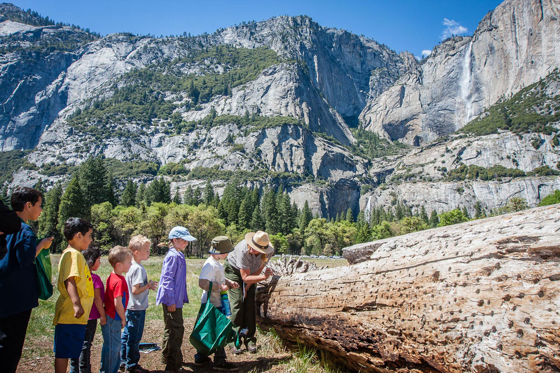
Cook's Meadow Loop Trailhead
~0 min drive
<p>This short, easy walk offers stunning views of Yosemite Falls, Half Dome, and Sentinel Rock as well as a vibrant example of the rich biodiversity in Yosemite's meadows. From Yosemite Village, walk west along the bicycle path toward Lower Yosemite Fall or take the Valleywide…
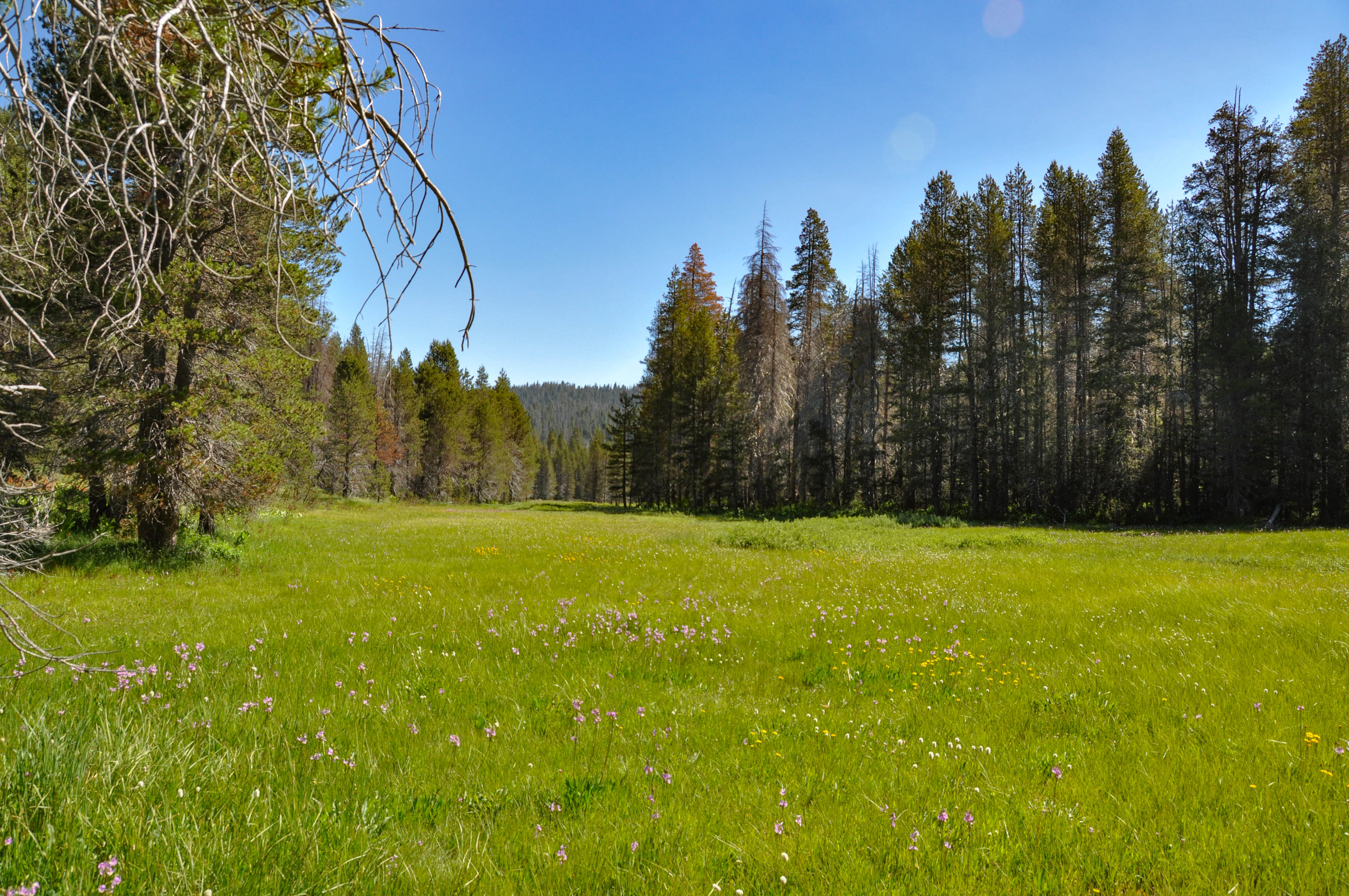
McGurk Meadow Trailhead
~9 min drive
<h2>McGurk Meadow</h2> <p>The trail leads downhill to McGurk Meadow and the site of an old cabin that belonged to sheepherder John McGurk. During early summer, look for a tremendous show of wildflowers.</p> <p><strong>Distance: </strong>1.6 miles (2.5 km) round-trip<br /> <str…
Rush Creek
~23 min drive
Moderate 6.5-mile alpine creek trail with 1,094 ft elevation gain.
Savage
~28 min drive
Moderate 5.2-mile trail with 795 ft gain near Savage, California.
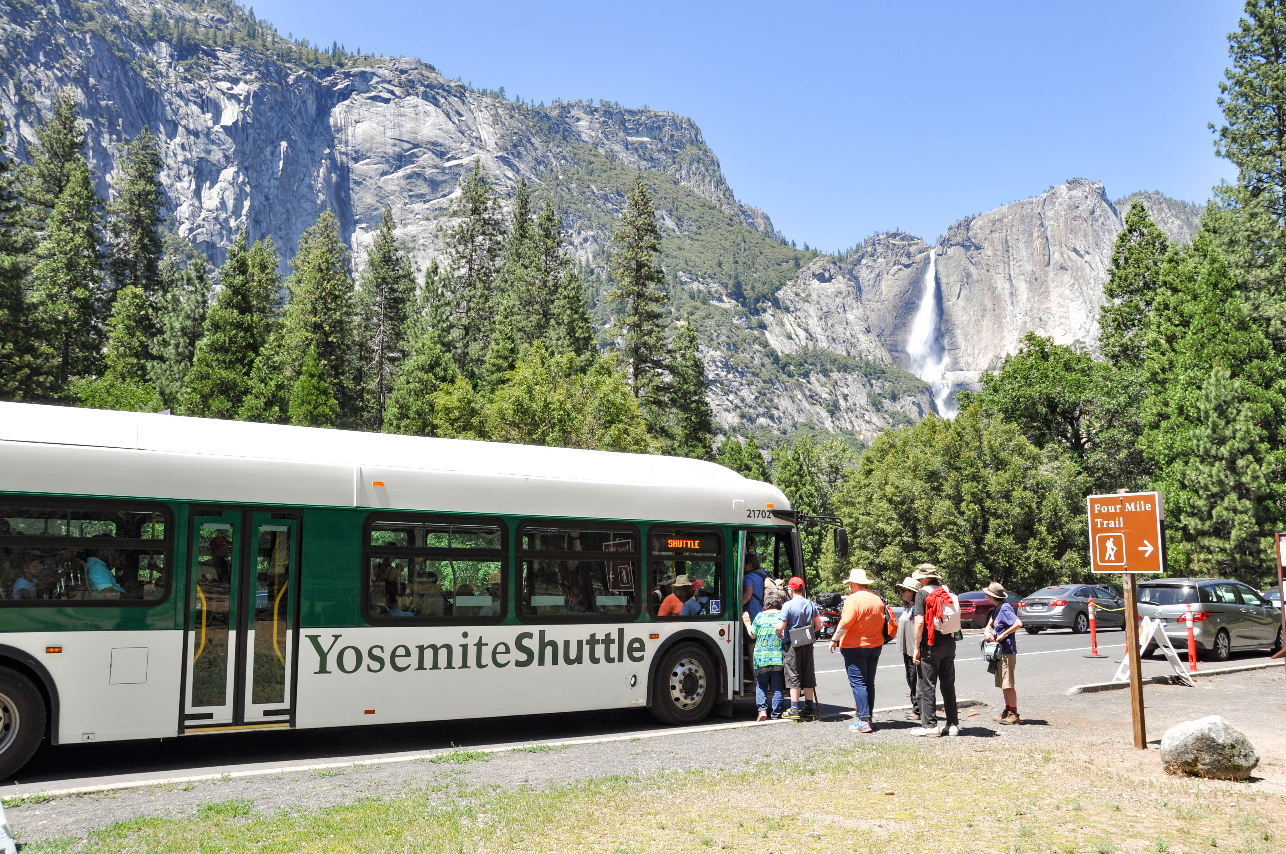
Valley Shuttle Stop 11: Four Mile Trailhead
~2 min drive
<p>This shuttle stop is served by the <strong>Valleywide Shuttle </strong>route only. There is no covered shelter or benches at this shuttle stop.<br /> <br /> <strong>Yosemite Valley shuttles are free and operate from 7 am to 10 pm daily. </strong>During hours of operation, t…
Trail 322150010602
~23 min drive
Quick 1-mile trail with steady elevation gain in California.
Pinoch Ridge
~26 min drive
Challenging 11.8-mile ridge traverse with 3,658 ft elevation gain.
Dutchman Lake
~29 min drive
Moderate 5.88-mile alpine hike to scenic Dutchman Lake with 1,253 ft elevation gain.
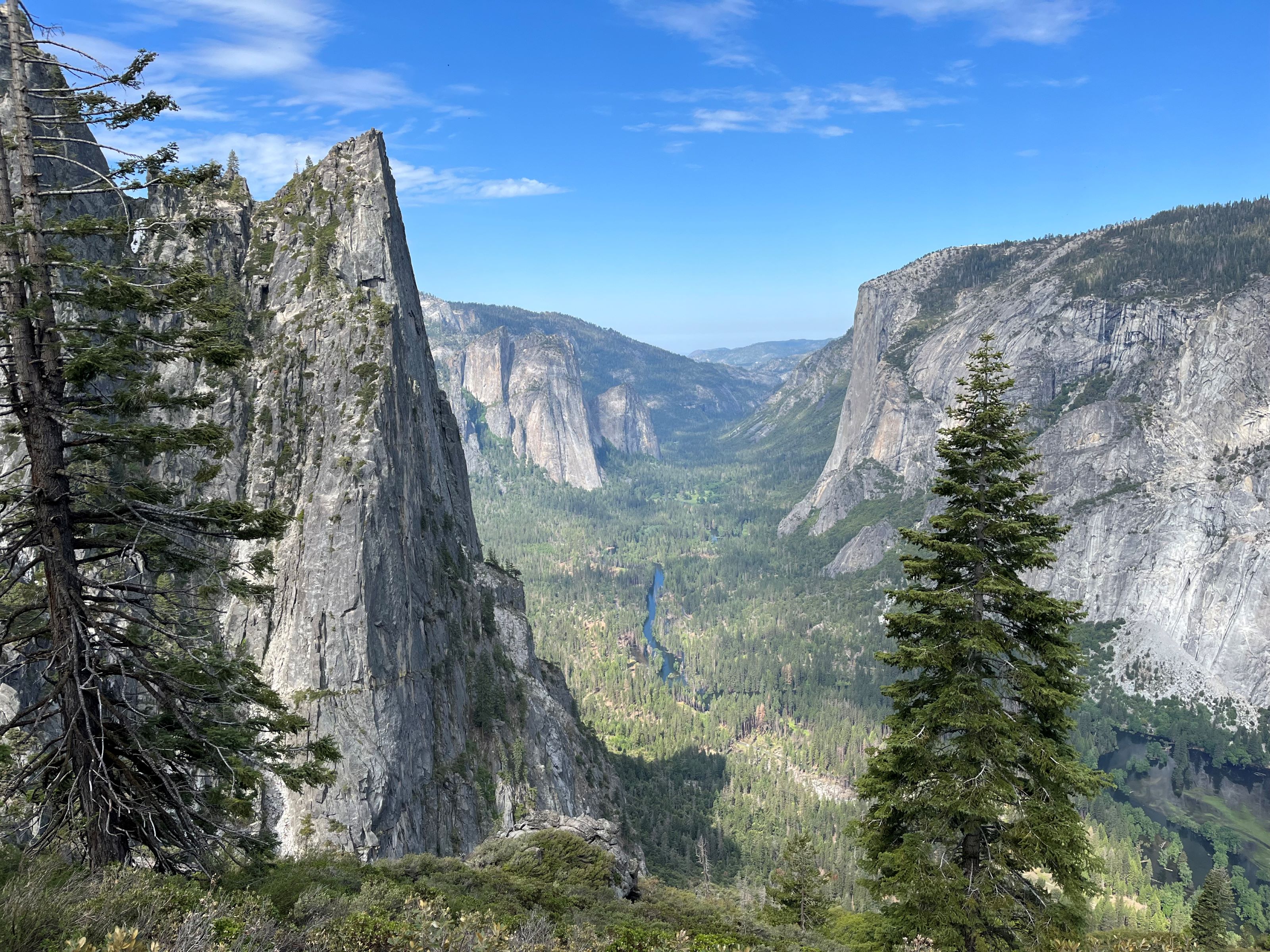
Four Mile Trailhead
~2 min drive
<p>The Four Mile Trail features remarkable, panoramic views of Yosemite Falls, El Capitan, Sentinel Rock, Half Dome, and Tenaya Canyon. This steep trail is challenging, all-day hike. The Four Mile Trail leads to Glacier Point, where restrooms and a snack stand are available in…
Ned's Gulch
~26 min drive
Short, steady climb through a scenic California gulch with accessible terrain.