Upper Meadow Trail
- 0.4 mi
- round trip
- 374 ft
- climb
- 2,229 ft
- high point
- Out and back
- route
Upper Meadow Trail is a short, easy out-and-back hike in California, about 0.4 miles long and roughly 0.8 miles round trip. It rises from about 2,185 feet to a high point of 2,229 feet, with a total elevation gain of 374 feet over the course of the trip. The steepest stretch comes at about 0.33 miles, where the grade reaches 10 percent, and the trail is rolling rather than steep in places. The nearest town is Evergreen, about 4.4 miles away. The trail is a quick outing, and the estimated time is about half an hour. Several other trails sit close by. Skyway Trail is 0.2 miles away, Meadow Trail is 0.3 miles away, and Tower Trail is 0.6 miles away. For paddling, Coyote Creek is about 4 miles off.
- Skyway TrailHiking0.2 mi
- Meadow TrailHiking0.3 mi
- Oak TrailHiking0.4 mi
- Tower TrailHiking0.6 mi
- Thistle TrailHiking0.7 mi
 Coyote CreekCanoeingPhoto: Dicklyon, CC BY-SA 4.0 (via Wikimedia Commons)4 mi
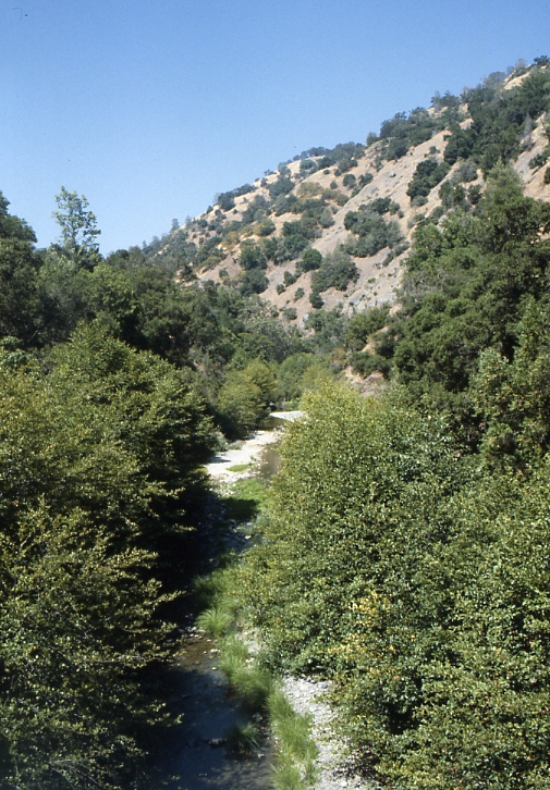 Arroyo HondoCanoeingPhoto: Robert A. Leidy PhD, US EPA, Public domain (via Wikimedia Commons)9.4 mi
- Guadalupe RiverCanoeing10 mi
Source: Roamze catalog (indexable pages within 10 miles, PostGIS distance)
 Dutch Flat TrailHiking · ~2 min drivePhoto: regexman, CC BY 2.0 (via Flickr)
- Brush TrailHiking · ~3 min drivePhoto: regexman, CC BY 2.0 (via Flickr)
 Bass Lake TrailHiking · ~4 min drivePhoto: Ashwin Kumar, CC BY-SA 2.0 (via Flickr)
- Manzanita TrailHiking · ~5 min drive
- San Felipe TrailHiking · ~2 min drivePhoto: regexman, CC BY 2.0 (via Flickr)
 Canada de Pala TrailHiking · ~5 min drivePhoto: denipet, CC BY 2.0 (via Flickr)
- Lower San Felipe TrailHiking · ~5 min drivePhoto: Ashwin Kumar, CC BY-SA 2.0 (via Flickr)
- Hotel TrailHiking · ~6 min drive
 Los Huecos TrailHiking · ~7 min drivePhoto: btwashburn, CC BY 2.0 (via Flickr)
- Barn TrailHiking · ~5 min drivePhoto: Ashwin Kumar, CC BY-SA 2.0 (via Flickr)
Also worth it near here

Map and trail data © OpenStreetMap contributors
