Skyway Trail
- 1.6 mi
- round trip
- 1,362 ft
- climb
- 2,310 ft
- high point
- Out and back
- route
Skyway Trail is an easy hike in California, about 4.4 miles from the town of Evergreen. The trail is an out-and-back route that starts at roughly 2,280 feet and reaches a high point of about 2,310 feet, with a total climb of about 1,362 feet over the round trip. The steepest stretch comes early, around 0.6 miles in, with a grade of about 21 percent. The trail is short, about 3.2 miles round trip, and the climb is back-loaded, so the second half of the hike is the most demanding. That makes it a good choice for a quick outing or as a warm-up before exploring the network of trails that sit close by. Several other hikes start within a mile of Skyway Trail. Upper Meadow Trail is about 0.2 miles away, and Oak Trail and Meadow Trail are each about half a mile off. For time on the water, Coyote Creek offers canoeing about 3.8 miles away.
- Upper Meadow TrailHiking0.2 mi
- Oak TrailHiking0.4 mi
- Meadow TrailHiking0.5 mi
- Tower TrailHiking0.5 mi
- Thistle TrailHiking0.8 mi
- Bay TrailHiking1.1 mi
 Coyote CreekCanoeingPhoto: Dicklyon, CC BY-SA 4.0 (via Wikimedia Commons)3.8 mi
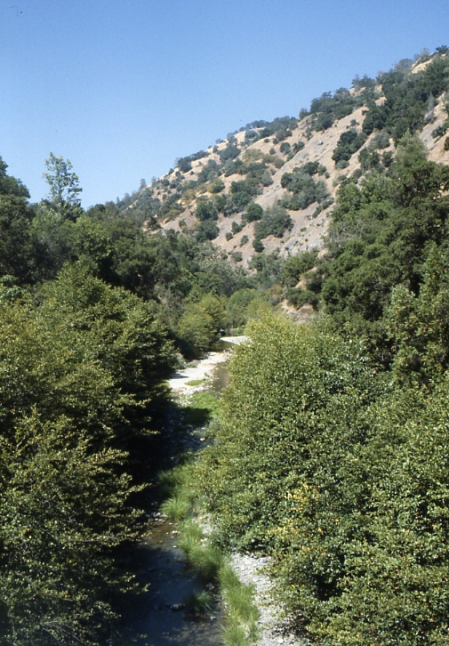 Arroyo HondoCanoeingPhoto: Robert A. Leidy PhD, US EPA, Public domain (via Wikimedia Commons)9.7 mi
Source: Roamze catalog (indexable pages within 10 miles, PostGIS distance)
 Dutch Flat TrailHiking · ~2 min drivePhoto: regexman, CC BY 2.0 (via Flickr)
- Brush TrailHiking · ~3 min drivePhoto: regexman, CC BY 2.0 (via Flickr)
 Bass Lake TrailHiking · ~5 min drivePhoto: Ashwin Kumar, CC BY-SA 2.0 (via Flickr)
- Manzanita TrailHiking · ~5 min drive
- San Felipe TrailHiking · ~2 min drivePhoto: regexman, CC BY 2.0 (via Flickr)
 Canada de Pala TrailHiking · ~5 min drivePhoto: denipet, CC BY 2.0 (via Flickr)
- Lower San Felipe TrailHiking · ~5 min drivePhoto: Ashwin Kumar, CC BY-SA 2.0 (via Flickr)
- Hotel TrailHiking · ~6 min drive
- Meadow TrailHiking · Next door
- Barn TrailHiking · ~5 min drivePhoto: Ashwin Kumar, CC BY-SA 2.0 (via Flickr)
Also worth it near here

Map and trail data © OpenStreetMap contributors
