Upper Dolan Ridge Trail
 Photo: Mr Moss, CC BY 2.0 (via Flickr)
- 1.4 mi
- round trip
- 1,579 ft
- climb
- 1,960 ft
- high point
- Out and back
- route
- Jan–Dec
- best months
Upper Dolan Ridge Trail is a moderate out-and-back hike in California's San Benito-Monterey Unit, about 1.36 miles long with a total elevation gain of 1,579 feet. The route starts at roughly 1,842 feet and climbs steadily to a high point of about 1,960 feet, with the steepest stretch at about 0.23 miles in, where the grade reaches 25%. The trail is a round trip, so the 581-foot gain listed is one way. Late summer into early fall is the most comfortable time to go. Typical averages from the Hearst Castle weather station, about 37 miles away, show September highs near 78°F with lows around 60°F and almost no wet days. That station sits a few hundred feet lower than the trail, so temperatures on the ridge run a little cooler. Several other trails start close by. Dairy Canyon Trail and Boronda Trail are each about 0.6 miles away, and Lower Dolan Ridge Trail is about 0.8 miles off. For an overnight stay, Escondido campground is about 6.9 miles away.
- Dairy Canyon TrailHiking0.6 mi
- Boronda TrailHiking0.6 mi
- Lower Dolan Ridge TrailHiking0.8 mi
 Interpretive TrailHikingPhoto: harley photo, CC BY-SA 3.0 (via Wikimedia Commons)1.3 mi
- Highlands Ridge TrailHiking2.8 mi
- EscondidoCamping6.9 mi
- Memorial ParkCamping7.8 mi
- Kirk CreekCamping9.4 mi
Source: Roamze catalog (indexable pages within 10 miles, PostGIS distance)
- Interpretive TrailHiking · ~2 min drivePhoto: harley photo, CC BY-SA 3.0 (via Wikimedia Commons)
 Gamboa Point TrailHiking · ~5 min drivePhoto: Harold Litwiler, Poppy, CC BY 2.0 (via Flickr)
 Gamboa TrailHiking · ~11 min drivePhoto: garmonb0zia, CC0 (via Wikimedia Commons)
 Ewoldsen trailHiking · ~11 min drivePhoto: sergei.gussev, CC BY 2.0 (via Flickr)
- Gamboa Point TrailHiking · ~5 min drivePhoto: Harold Litwiler, Poppy, CC BY 2.0 (via Flickr)
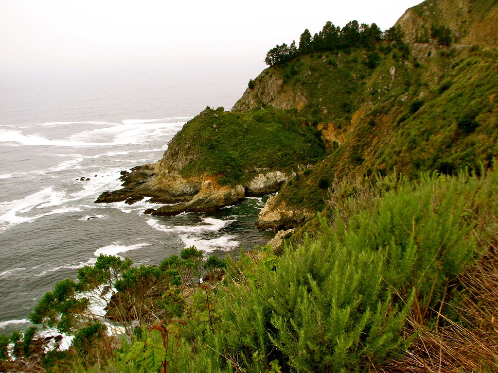 Canogas Falls TrailHiking · ~6 min drivePhoto: jeffgunn, CC BY 2.0 (via Flickr)
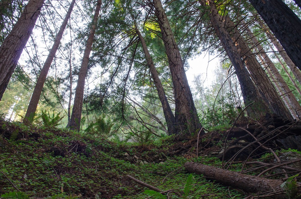 Stone Ridge Spine PathHiking · ~11 min drivePhoto: vikjam, CC BY 2.0 (via Flickr)
- Stone Ridge TrailHiking · ~11 min drivePhoto: vikjam, CC BY 2.0 (via Flickr)
 Cook Spring CampHiking · ~11 min drivePhoto: scorpio-tiger, CC BY-SA 2.0 (via Flickr)
 North Coast Ridge TrailHiking · ~9 min drivePhoto: scorpio-tiger, CC BY-SA 2.0 (via Flickr)
Also worth it near here
- Redwood CampCamping · ~2 min drive
 McWay FallsWaterfall · ~10 min drivePhoto: King of Hearts, CC BY-SA 3.0 (via Wikimedia Commons)
 North Coast RidgeMountain biking · ~10 min drivePhoto: garmonb0zia, CC0 (via Wikimedia Commons)
 Cone PeakSummit · ~11 min drivePhoto: Doug Letterman, CC BY 2.0 (via Wikimedia Commons)
Best time to visit Upper Dolan Ridge Trail
Best months: Year-round. Best months have typical highs of 55–85 °F, lows of 30 °F or warmer (32 °F where the station doesn't record snow), at most one snowy day and no more than 12 wet days.
Jan
60° / 47°
8 wet
Feb
60° / 45°
8 wet
Mar
62° / 47°
8 wet
Apr
65° / 47°
5 wet
May
69° / 52°
2 wet
Jun
73° / 55°
1 wet
Jul
75° / 57°
0 wet
Aug
77° / 58°
0 wet
Sep
78° / 60°
1 wet
Oct
74° / 56°
3 wet
Nov
66° / 50°
5 wet
Dec
59° / 46°
8 wet
Typical high / low (°F) and days with rain or snow, 1991–2020. Measured at Hearst Castle, CA, 37.3 mi away at 1,526 ft. Source: NOAA NCEI U.S. Climate Normals 1991–2020.
Map and trail data © OpenStreetMap contributors
