Gamboa Point Trail
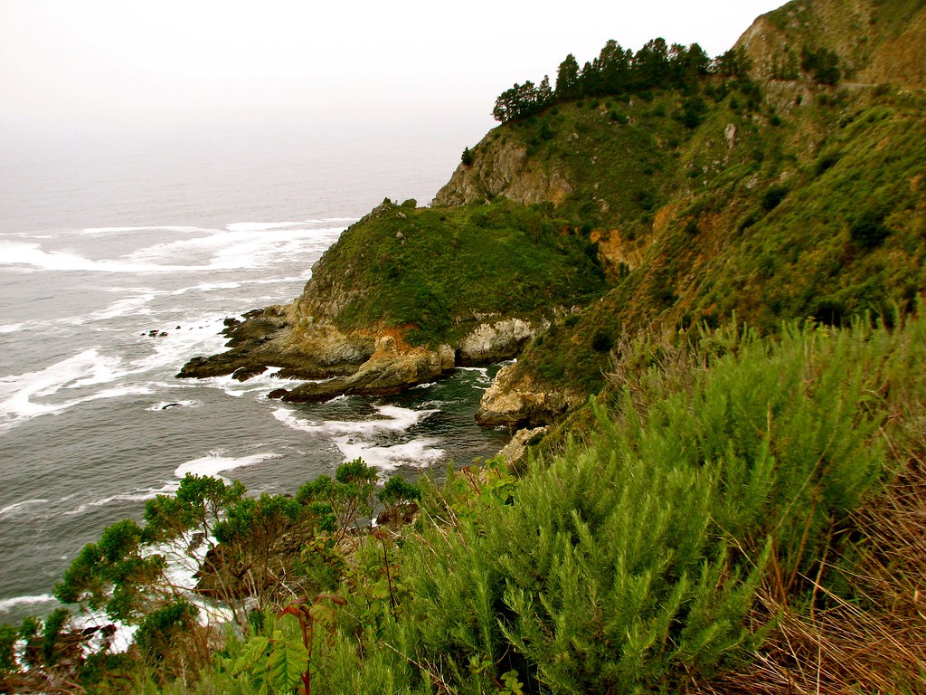
 Photo: Harold Litwiler, Poppy, CC BY 2.0 (via Flickr)
- 1.4 mi
- round trip
- 2,104 ft
- climb
- 1,496 ft
- high point
- Out and back
- route
- Jan–Dec
- best months
Gamboa Point Trail is a 2.86-mile out-and-back hike in California with 2,104 feet of elevation gain. The trail reaches a maximum elevation of 1,496 feet.
- Gamboa Point TrailHiking · Next doorPhoto: Harold Litwiler, Poppy, CC BY 2.0 (via Flickr)
 Canogas Falls TrailHiking · ~3 min drivePhoto: jeffgunn, CC BY 2.0 (via Flickr)
 Gamboa TrailHiking · ~7 min drivePhoto: garmonb0zia, CC0 (via Wikimedia Commons)
 Ewoldsen trailHiking · ~16 min drivePhoto: sergei.gussev, CC BY 2.0 (via Flickr)
 Interpretive TrailHiking · ~3 min drivePhoto: harley photo, CC BY-SA 3.0 (via Wikimedia Commons)
 Upper Dolan Ridge TrailHiking · ~5 min drivePhoto: Mr Moss, CC BY 2.0 (via Flickr)
 North Coast Ridge TrailHiking · ~9 min drivePhoto: scorpio-tiger, CC BY-SA 2.0 (via Flickr)
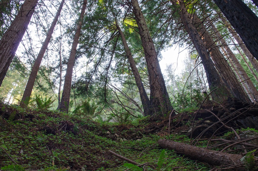 Stone Ridge TrailHiking · ~7 min drivePhoto: vikjam, CC BY 2.0 (via Flickr)
 Cook Spring CampHiking · ~8 min drivePhoto: scorpio-tiger, CC BY-SA 2.0 (via Flickr)
- Cone PeakHiking · ~8 min drivePhoto: garmonb0zia, CC0 (via Wikimedia Commons)
Best time to visit Gamboa Point Trail
Best months: Year-round. Best months have typical highs of 55–85 °F, lows of 30 °F or warmer (32 °F where the station doesn't record snow), at most one snowy day and no more than 12 wet days.
Jan
61° / 42°
11 wet
Feb
61° / 43°
11 wet
Mar
64° / 43°
10 wet
Apr
67° / 44°
6 wet
May
70° / 45°
4 wet
Jun
74° / 48°
1 wet
Jul
75° / 51°
0 wet
Aug
77° / 50°
0 wet
Sep
77° / 50°
1 wet
Oct
74° / 48°
3 wet
Nov
65° / 45°
7 wet
Dec
59° / 42°
10 wet
Typical high / low (°F) and days with rain or snow, 1991–2020. Measured at Big Sur Stn, CA, 17.5 mi away at 200 ft. The station sits about 1,300 ft lower than this place, so expect it a little cooler here. Source: NOAA NCEI U.S. Climate Normals 1991–2020.

Map and trail data © OpenStreetMap contributors
