Gamboa Point Trail
 Photo: Harold Litwiler, Poppy, CC BY 2.0 (via Flickr)
- 1.0 mi
- round trip
- 464 ft
- climb
- 2,011 ft
- high point
- Out and back
- route
- Jan–Dec
- best months
Gamboa Point Trail is a 1.94-mile out-and-back hike in California with 464 feet of elevation gain. The trail reaches a maximum elevation of 2,011 feet.
- Gamboa Point TrailHiking · Next doorPhoto: Harold Litwiler, Poppy, CC BY 2.0 (via Flickr)
 Interpretive TrailHiking · ~3 min drivePhoto: harley photo, CC BY-SA 3.0 (via Wikimedia Commons)
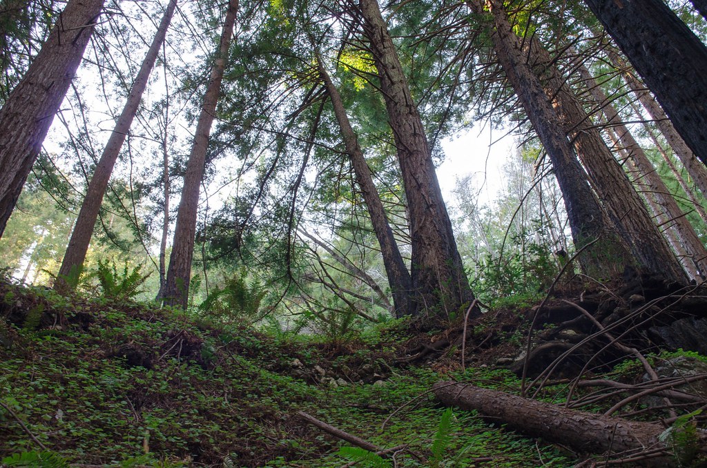 Stone Ridge Spine PathHiking · ~7 min drivePhoto: vikjam, CC BY 2.0 (via Flickr)
 Ewoldsen trailHiking · ~16 min drivePhoto: sergei.gussev, CC BY 2.0 (via Flickr)
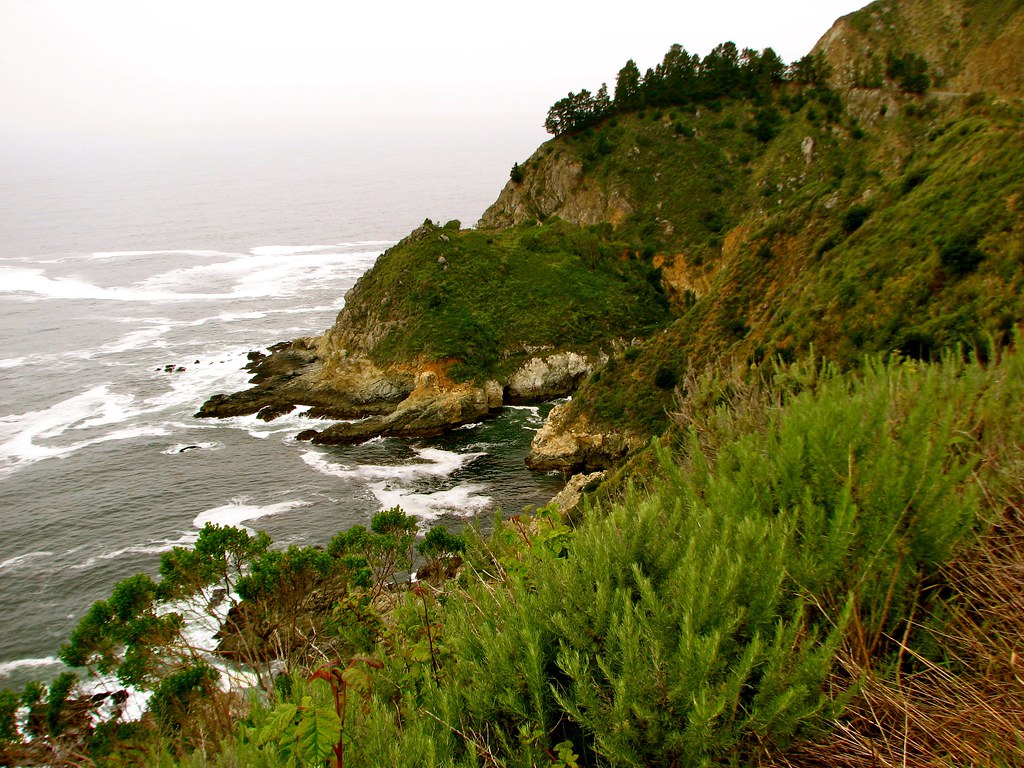 Canogas Falls TrailHiking · ~3 min drivePhoto: jeffgunn, CC BY 2.0 (via Flickr)
 Cook Spring CampHiking · ~8 min drivePhoto: scorpio-tiger, CC BY-SA 2.0 (via Flickr)
 Gamboa TrailHiking · ~7 min drivePhoto: garmonb0zia, CC0 (via Wikimedia Commons)
- Stone Ridge TrailHiking · ~7 min drivePhoto: vikjam, CC BY 2.0 (via Flickr)
 Upper Dolan Ridge TrailHiking · ~5 min drivePhoto: Mr Moss, CC BY 2.0 (via Flickr)
 Adobe-Santa Lucia Connector TrailHiking · ~15 min drivePhoto: Thomson200, CC0 (via Wikimedia Commons)
Best time to visit Gamboa Point Trail
Best months: Year-round. Best months have typical highs of 55–85 °F, lows of 30 °F or warmer (32 °F where the station doesn't record snow), at most one snowy day and no more than 12 wet days.
Jan
60° / 47°
8 wet
Feb
60° / 45°
8 wet
Mar
62° / 47°
8 wet
Apr
65° / 47°
5 wet
May
69° / 52°
2 wet
Jun
73° / 55°
1 wet
Jul
75° / 57°
0 wet
Aug
77° / 58°
0 wet
Sep
78° / 60°
1 wet
Oct
74° / 56°
3 wet
Nov
66° / 50°
5 wet
Dec
59° / 46°
8 wet
Typical high / low (°F) and days with rain or snow, 1991–2020. Measured at Hearst Castle, CA, 34.3 mi away at 1,526 ft. Source: NOAA NCEI U.S. Climate Normals 1991–2020.


Map and trail data © OpenStreetMap contributors
