Gamboa Trail
 Photo: garmonb0zia, CC0 (via Wikimedia Commons)
- 2.7 mi
- round trip
- 3,759 ft
- climb
- 3,892 ft
- high point
- Out and back
- route
Is Gamboa Trail open right now?
Closure in the area
There's a closure order in Monterey Ranger District. It doesn't name Gamboa Trail, so check the source for the area it covers (2 listed).
Monterey Ranger District Timber Fire and Plaskett Fire Emergency Closure
Agency closure covering Monterey Ranger District · Order 05-07-51-26-12 · USFS · Monterey Ranger District
Monterey Ranger District Emergency Closure Order with Exceptions
Agency closure covering Monterey Ranger District · Order 05-07-51-26-11 · USFS · Monterey Ranger District
Los Padres Fire Use and Firearm Restrictions
Agency alert covering Los Padres National Forest · Order 05-07-00-26-05 · USFS · Los Padres National Forest
San Carpoforo Beach Prohibition of Overnight Camping and Campfires
Agency alert covering Monterey Ranger District · Order 05-07-51-26-03 · USFS · Monterey Ranger District
Santa Barbara Front Country Fire Use Restrictions
Agency alert covering Los Padres National Forest · Order 05-07-5406-01 · USFS · Los Padres National Forest
As of · Source: USFS · Monterey Ranger District. Agencies don't list every closure — check before you go.
Gamboa Trail is a hard hike in the Ventana Wilderness, part of the Monterey Ranger District of Los Padres National Forest in California. The Forest Service manages the land, and the trail runs about 5.5 miles out and back, with a one-way climb of roughly 1,460 feet. The route starts at about 3,855 feet and reaches a high point of 3,892 feet, with the steepest stretch around 2.5 miles in at a 25% grade. The trail is a steady climb, and the total gain and loss over the round trip add up to about 3,759 feet. Cone Peak sits about half a mile away, and the North Coast Ridge Trail is within a mile, so it pairs easily with those routes. For an overnight base, Memorial Park and Kirk Creek campgrounds are both about 4.6 miles off.
- Cone PeakHikingPhoto: garmonb0zia, CC0 (via Wikimedia Commons)0.5 mi
 NORTH COAST RIDGEHikingPhoto: scorpio-tiger, CC BY-SA 2.0 (via Flickr)0.6 mi
- North Coast Ridge TrailHikingPhoto: scorpio-tiger, CC BY-SA 2.0 (via Flickr)0.7 mi
- Memorial ParkCamping4.6 mi
- Kirk CreekCamping4.7 mi
 The BeachRock climbingPhoto: Thomson M, CC BY 3.0 (via Wikimedia Commons)5.8 mi
 Wagon CavesRock climbingPhoto: Bob n Renee, CC BY 2.0 (via Flickr)5.9 mi
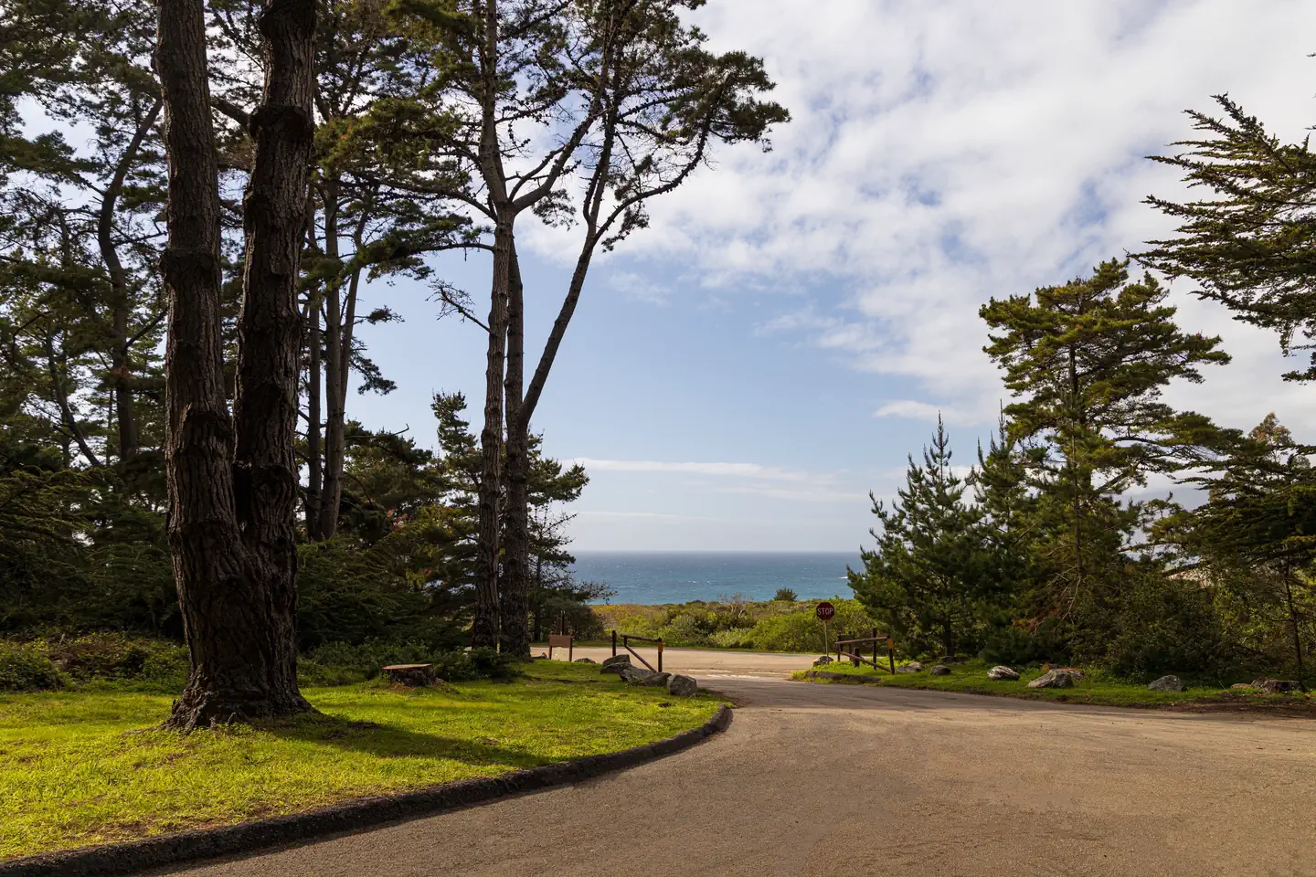 Plaskett Creek CampgroundSurf fishing9.9 mi
Source: Roamze catalog (indexable pages within 10 miles, PostGIS distance)
- Cone PeakHiking · Next doorPhoto: garmonb0zia, CC0 (via Wikimedia Commons)
- North Coast Ridge TrailHiking · ~1 min drivePhoto: scorpio-tiger, CC BY-SA 2.0 (via Flickr)
 Cook Spring CampHiking · ~2 min drivePhoto: scorpio-tiger, CC BY-SA 2.0 (via Flickr)
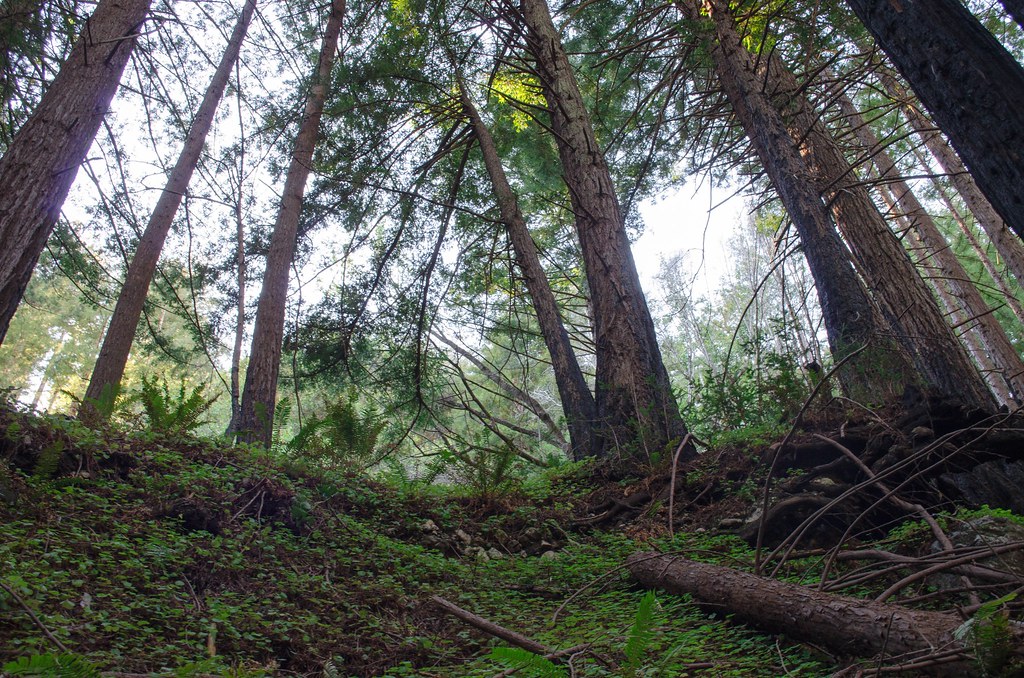 Stone Ridge TrailHiking · ~4 min drivePhoto: vikjam, CC BY 2.0 (via Flickr)
- NORTH COAST RIDGEHiking · ~1 min drivePhoto: scorpio-tiger, CC BY-SA 2.0 (via Flickr)
- Stone Ridge Spine PathHiking · ~4 min drivePhoto: vikjam, CC BY 2.0 (via Flickr)
 Gamboa Point TrailHiking · ~7 min drivePhoto: Harold Litwiler, Poppy, CC BY 2.0 (via Flickr)
- CONE PEAKHiking · ~1 min drivePhoto: garmonb0zia, CC0 (via Wikimedia Commons)
 San AntonioHiking · ~4 min drivePhoto: Demi Lucas, CC BY 3.0 (via Wikimedia Commons)
 Mill CreekHiking · ~9 min drivePhoto: Roger Sylvia, CC BY-SA 3.0 (via Wikimedia Commons)
Map and trail data © OpenStreetMap contributors
