Wrights Lake
Campground
Campground · 0.3 mi from the trail
Alert in the area
The Forest Service lists 2 alerts for Eldorado National Forest.
Help Halt Golden Mussel Invasion
Agency alert covering Eldorado National Forest · USFS · Eldorado National Forest
Deer Valley Trail (19E01) & Meadow Lake Road (09N01)
Agency alert covering Eldorado National Forest · Order 03-24-05 · USFS · Eldorado National Forest
As of · Source: USFS · Eldorado National Forest. Agencies don't list every closure — check before you go.
Twin Lakes is an easy out-and-back hike in California's Eldorado National Forest, within the Pacific Ranger District. The trail is about a mile long, with a total elevation gain of 476 feet, and it starts at the Twin Lakes Trailhead. The route rises to a high point of 7,299 feet, with the steepest stretch coming about halfway through at roughly 16% grade. Summer is the most comfortable time to go. Typical averages from a nearby weather station at a similar elevation show July highs around 75°F with lows near 49°F, and only about two wet days a month from June through September. Wrights Lake campground sits just 0.3 miles away, and the Old Corral Loop and Beauty Lake hikes are both within half a mile. Climbers can find Black Beauty Wall about a mile off.
Wrights Lake
Campground
Places © OpenStreetMap contributors
More in Sunnyside-Tahoe CityNot on Roamze yet. Their page has how to reach them.
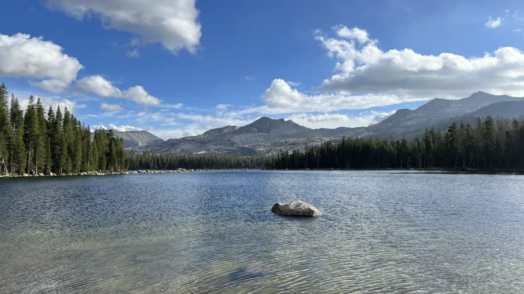 Wrights LakeCampingPhoto: Recreation.gov (RIDB) / public domain0.3 mi
 South Fork American RiverCanoeingPhoto: Tim Who wants to know, CC BY-SA 2.0 (via Wikimedia Commons)4.4 mi
Source: Roamze catalog (indexable pages within 10 miles, PostGIS distance)
 Clyde LakeHiking · ~7 min drivePhoto: jayarmstrong, CC BY-SA 3.0 (via Wikimedia Commons)
 Pyramid Peak TrailHiking · ~10 min drivePhoto: Peter, CC BY-SA 2.0 (via Wikimedia Commons)
 STRAWBERRY RIDGE LOOPHiking · ~10 min drivePhoto: Hugh Nelson, CC BY 3.0 (via Wikimedia Commons)
 Pony Express TrailHiking · ~9 min drivePhoto: mlinksva, Public Domain Dedication (CC0) (via Flickr)
 Lake No. 3Hiking · ~8 min drivePhoto: Kurt Minard, CC BY-SA 3.0 (via Wikimedia Commons)
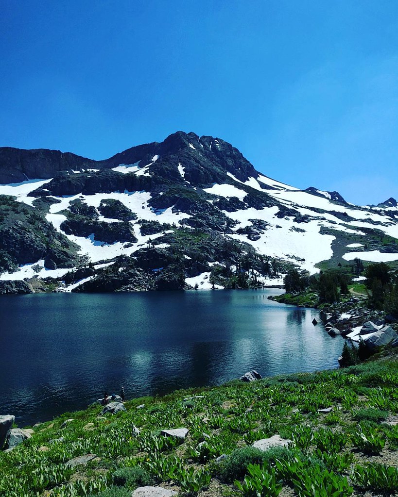 Climber's Descent TrailHiking · ~10 min drivePhoto: npdoty, CC BY 2.0 (via Flickr)
 Mcconnell Lake LoopHiking · ~9 min drivePhoto: Kurt Minard, CC BY-SA 3.0 (via Wikimedia Commons)
 Margery TrailHiking · ~10 min drivePhoto: Phreakdigital (talk · contribs), Public domain (via Wikimedia Commons)
 Lyons Creek TrailHiking · ~4 min drivePhoto: Kurt Minard, CC BY-SA 3.0 (via Wikimedia Commons)
Best months: May–October. Best months have typical highs of 55–85 °F, lows of 30 °F or warmer (32 °F where the station doesn't record snow), at most one snowy day and no more than 12 wet days.
Jan
36° / 23°
9 wet
Feb
37° / 23°
8 wet
Mar
42° / 26°
7 wet
Apr
48° / 29°
5 wet
May
56° / 35°
4 wet
Jun
66° / 42°
2 wet
Jul
75° / 49°
2 wet
Aug
74° / 49°
1 wet
Sep
67° / 44°
2 wet
Oct
55° / 36°
3 wet
Nov
43° / 28°
5 wet
Dec
35° / 23°
7 wet
Typical high / low (°F) and days with rain or snow, 1991–2020. Measured at Dagget Pass, NV, 20.1 mi away at 7,334 ft. This station doesn't record snowfall. Source: NOAA NCEI U.S. Climate Normals 1991–2020.
Fire Restrictions are in Effect Forest Wide
Eldorado National Forest · Order dated September 22, 2026; seen Aug 23, 2026 → lifted Nov 2, 2026 · Forest Service


