Lovers Leap Campground
Campground
Campground · 0.6 mi from the trail
 Photo: Peter, CC BY-SA 2.0 (via Wikimedia Commons)
Alert in the area
The Forest Service lists 2 alerts for Eldorado National Forest.
Help Halt Golden Mussel Invasion
Agency alert covering Eldorado National Forest · USFS · Eldorado National Forest
Deer Valley Trail (19E01) & Meadow Lake Road (09N01)
Agency alert covering Eldorado National Forest · Order 03-24-05 · USFS · Eldorado National Forest
As of · Source: USFS · Eldorado National Forest. Agencies don't list every closure — check before you go.
Pyramid Peak Trail is a 6.1-mile out-and-back hike in California's Eldorado National Forest, within the Placerville Ranger District. The trail starts at about 5,948 feet and climbs to 9,641 feet, a total gain of 3,831 feet, and is rated expert. The climb is front-loaded, with the steepest stretch at about 0.24 miles from the start, where the grade reaches 47 percent. The route is a serious day. Plan on about four hours, and expect the most intense climbing early on. The Forest Service manages the land, and the trail is a round trip, so the total gain and loss are both about 3,800 feet. The peak sits close to several other destinations. The North Face and South Face climbing areas are within half a mile, and Lovers Leap Campground is about 0.6 miles away. Pyramid Creek Loop Trail is about 0.7 miles off.
Lovers Leap Campground
Campground
Solstice Eatery
Restaurant
Baldwin Home
Museum
Places © OpenStreetMap contributors
More in Sunnyside-Tahoe CityNot on Roamze yet. Their page has how to reach them.
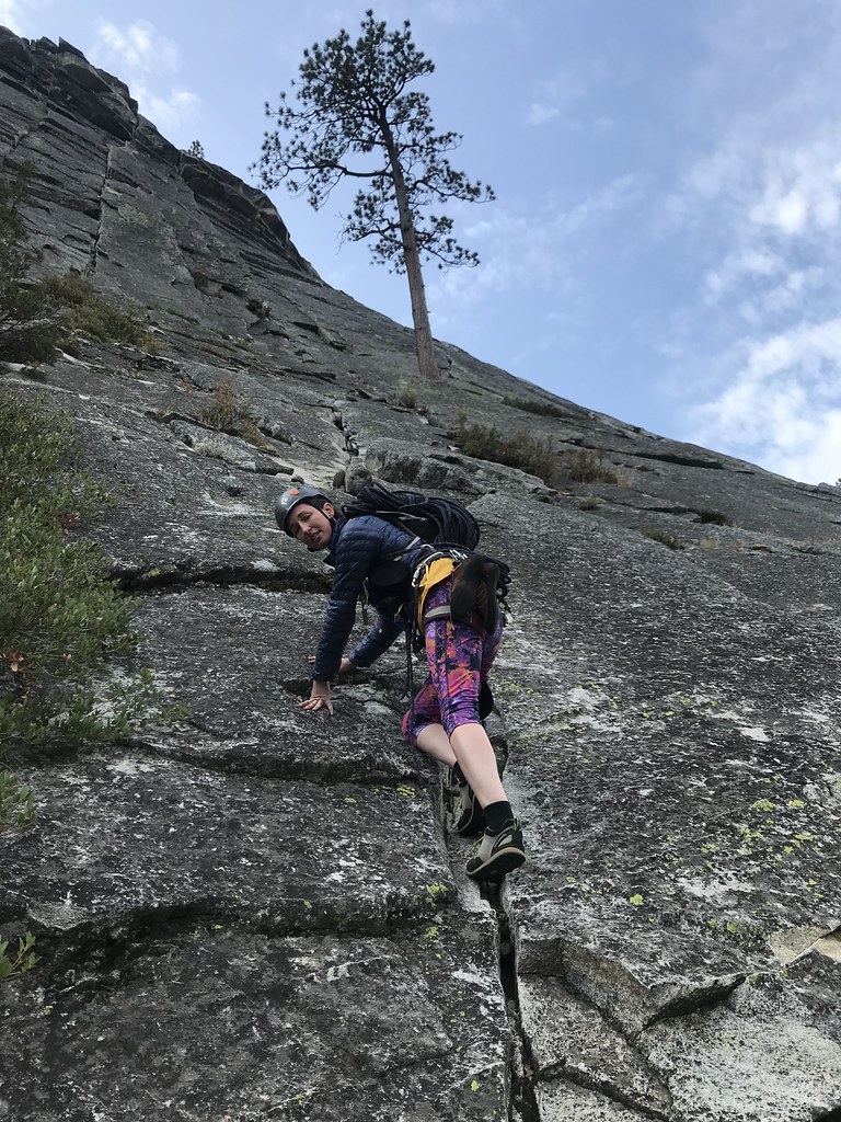 North FaceRock climbingPhoto: jfdervin, CC BY-SA 2.0 (via Flickr)0.2 mi
 South FaceRock climbingPhoto: jfdervin, CC BY-SA 2.0 (via Flickr)0.4 mi
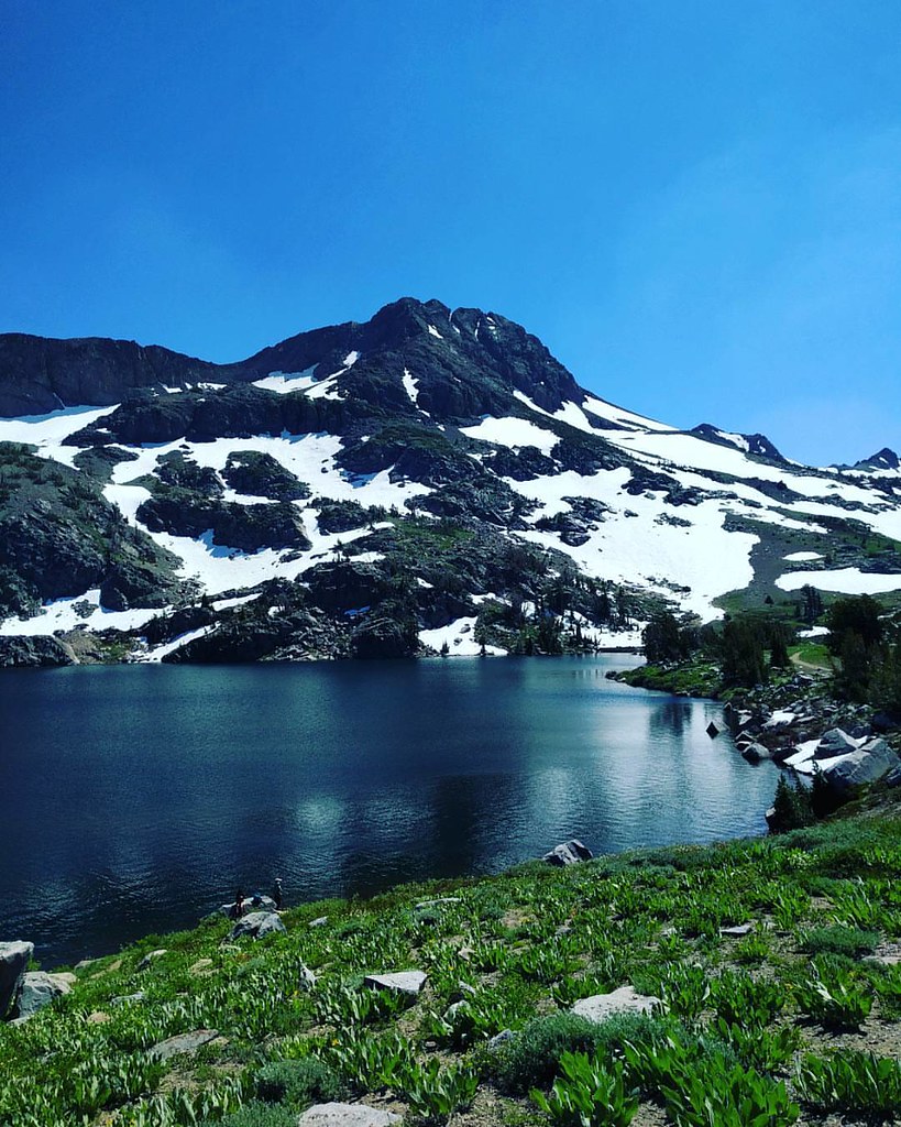 Climber's Descent TrailHikingPhoto: npdoty, CC BY 2.0 (via Flickr)0.6 mi
 Lovers Leap Cg & Day UseCampingPhoto: -Jérôme- — CC BY 2.0 (via Flickr)0.6 miPyramid Creek Loop TrailHikingPhoto: Peter, CC BY-SA 2.0 (via Wikimedia Commons)0.7 mi
 South Fork American RiverCanoeingPhoto: Tim Who wants to know, CC BY-SA 2.0 (via Wikimedia Commons)4.3 mi
Source: Roamze catalog (indexable pages within 10 miles, PostGIS distance)
Climber's Descent TrailHiking · ~1 min drivePhoto: npdoty, CC BY 2.0 (via Flickr) Pyramid TrailHiking · ~2 min drivePhoto: ray_explores, CC BY 2.0 (via Flickr)
 Sayles CanyonHiking · ~3 min drivePhoto: bato93, CC BY-SA 2.0 (via Flickr)
 STRAWBERRY RIDGE LOOPHiking · ~2 min drivePhoto: Hugh Nelson, CC BY 3.0 (via Wikimedia Commons)
 Mt. RalstonHiking · ~3 min drivePhoto: ray_explores, CC BY 2.0 (via Flickr)
 Pacific Crest TrailHiking · ~9 min drivePhoto: lewinb, CC BY-SA 2.0 (via Flickr)Pony Express TrailHiking · ~3 min drivePhoto: Peter, CC BY-SA 2.0 (via Wikimedia Commons)STATION CREEKHiking · ~4 min drivePhoto: Hugh Nelson, CC BY 3.0 (via Wikimedia Commons)Cody MeadowsHiking · ~4 min drivePhoto: Hugh Nelson, CC BY 3.0 (via Wikimedia Commons)
 Ralston Peak TrailHiking · ~4 min drivePhoto: simonov, CC BY-SA 2.0 (via Flickr)
Map and trail data © OpenStreetMap contributors
