Musch Hike-In Camp
Campground
Campground · 4.4 mi from the trail
 Photo: sergei.gussev, CC BY 2.0 (via Flickr)
No closures listed
The National Park Service lists no closures for Santa Monica Mountains National Recreation Area.
As of · Source: NPS · Santa Monica Mountains National Recreation Area. Agencies don't list every closure — check before you go.
Tuna Canyon Trail (Big Rock Lateral) is a short, easy out-and-back hike in the Santa Monica Mountains National Recreation Area, within Tuna Canyon Park in California. The trail is about 1.3 miles long, with a total elevation gain of 524 feet, and it starts and ends at about 1,277 feet. The climb is rolling, and the steepest stretch comes at about 0.57 miles in, with a grade of 17 percent. The most comfortable months for a visit are typically late spring and early fall. Typical averages from a nearby weather station show May highs around 73°F and October highs around 77°F, with only a few wet days in each. Winter is cooler, with highs in the mid-60s and about six to seven wet days a month. The hike takes about half an hour, so it works well as a quick outing. The Backbone Trail - Fossil Ridge and Backbone Trail - Saddle Peak are both about 2.4 miles away, and the Black Flower climbing area is about 2.3 miles off.
Musch Hike-In Camp
Campground
 If it rainsLos Angeles, CC BY-SA 4.0 · Wikimedia Commons
Leonis Adobe
Museum
Places © OpenStreetMap contributors · Photos: Los Angeles, CC BY-SA 4.0 (commons)
More in Moorpark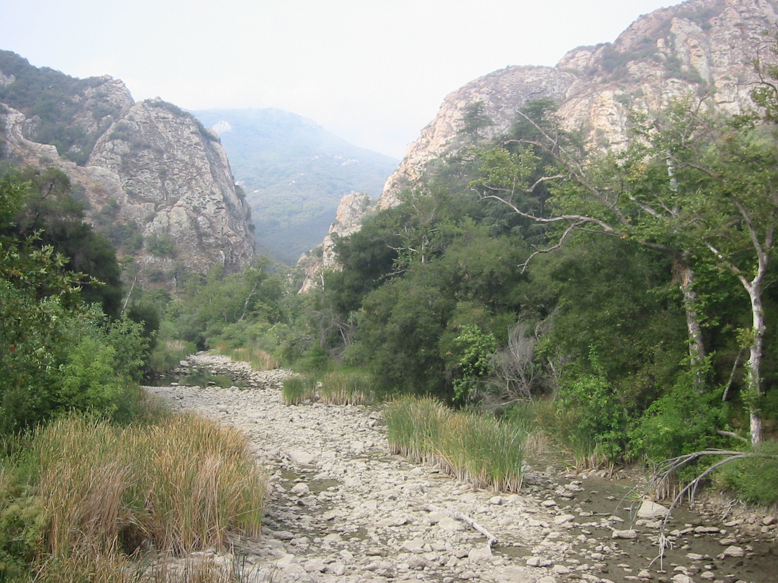 Malibu CreekCanoeingPhoto: Tobin/tobo, Rochester, NY, USA, CC BY-SA 2.0 (via Wikimedia Commons)6.2 mi
Source: Roamze catalog (indexable pages within 10 miles, PostGIS distance)
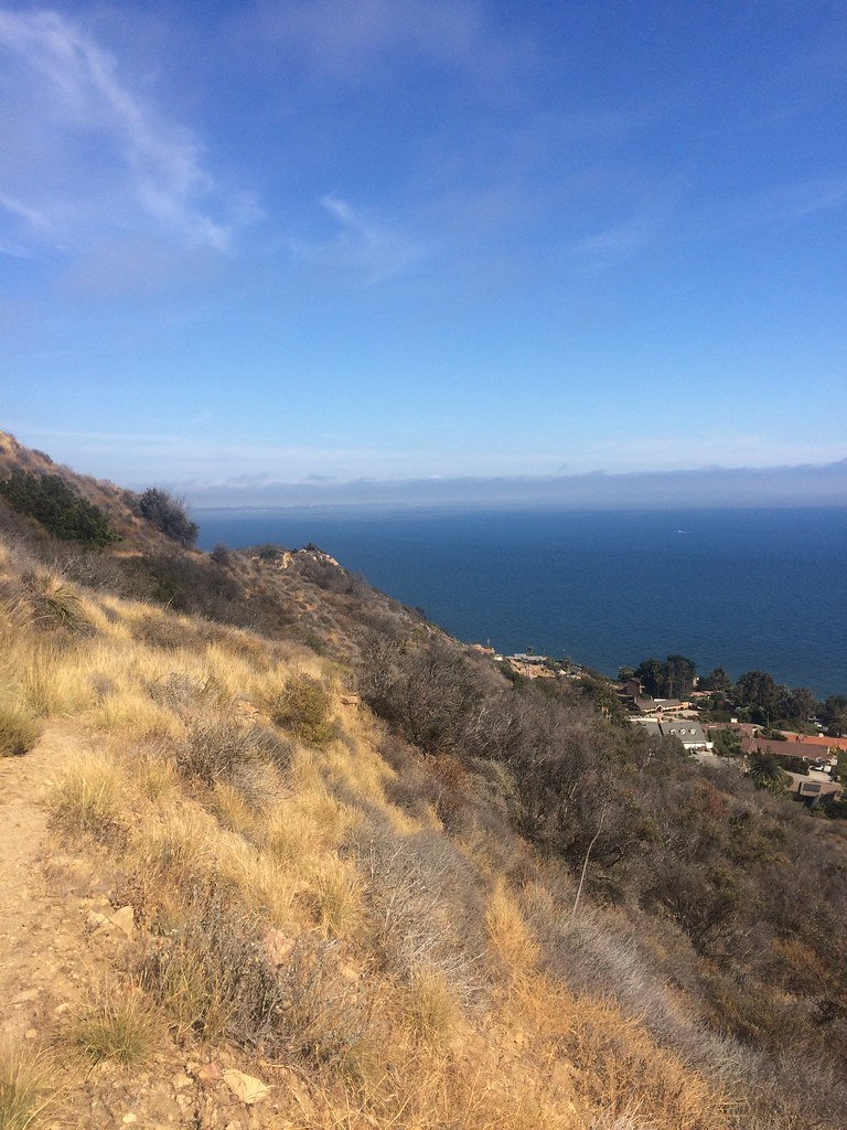 Big Rock MotorwayHiking · ~1 min drivePhoto: sergei.gussev, CC BY 2.0 (via Flickr)
 California Coastal TrailHiking · ~4 min drivePhoto: lolololori, CC BY-SA 2.0 (via Flickr)
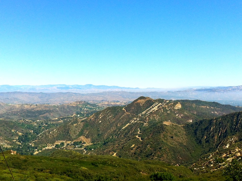 Cold Creek Canyon TrailHiking · ~5 min drivePhoto: nano.anderson, CC BY 2.0 (via Flickr)Budwood MotorwayHiking · ~2 min drivePhoto: sergei.gussev, CC BY 2.0 (via Flickr)
 Hondo Canyon Trail (Backbone Trail)Hiking · ~5 min drivePhoto: Rneches, CC BY 2.5 (via Wikimedia Commons)
 Upper Stunt High TrailHiking · ~6 min drivePhoto: Santa Monica Mountains National Recreation Area, Public domain (via Wikimedia Commons)Hearst Tank MotorwayHiking · ~2 min drivePhoto: sergei.gussev, CC BY 2.0 (via Flickr)
 Wire Break TrailHiking · ~6 min drivePhoto: timatymusic, CC BY 2.0 (via Flickr)Backbone TrailHiking · ~5 min drivePhoto: Rneches, CC BY 2.5 (via Wikimedia Commons)
Best months: Year-round. Best months have typical highs of 55–85 °F, lows of 30 °F or warmer (32 °F where the station doesn't record snow), at most one snowy day and no more than 12 wet days.
Jan
66° / 52°
6 wet
Feb
66° / 50°
6 wet
Mar
68° / 51°
5 wet
Apr
70° / 52°
3 wet
May
73° / 54°
2 wet
Jun
75° / 56°
1 wet
Jul
80° / 60°
1 wet
Aug
83° / 62°
0 wet
Sep
82° / 63°
1 wet
Oct
77° / 59°
3 wet
Nov
72° / 56°
4 wet
Dec
65° / 51°
7 wet
Typical high / low (°F) and days with rain or snow, 1991–2020. Measured at Getty Ctr, CA, 8.8 mi away at 1,117 ft. Source: NOAA NCEI U.S. Climate Normals 1991–2020.
Map and trail data © OpenStreetMap contributors


