Oasis Palms RV Resort
Campground
Campground · 9.0 mi from the trail
The trail from Valerie to Agua Alta Spring is a 16-mile out-and-back route in California, starting in the town of Valerie, about 1.5 miles away. The climb is front-loaded, with the steepest stretch at about 5.7 miles, and the high point reaches 2,135 feet. The total elevation gain is 2,220 feet, and the route is rated hard. Spring and fall are the most comfortable times to go. Typical averages from a nearby weather station at Chiriaco Summit show March highs around 75°F and October highs around 86°F, while July averages climb to about 103°F. The trip takes about 6.5 hours. The Boo Hoff Trail is about 7 miles away, and the Cactus Springs Trail and Bear Creek Trail are both within about 9 miles.
Oasis Palms RV Resort
Campground
Children's museum in Rancho Mirage, California
Places © OpenStreetMap contributors, Places © Overture Maps Foundation
More in CoachellaNot on Roamze yet. Their page has how to reach them.
Source: Roamze catalog (indexable pages within 10 miles, PostGIS distance)
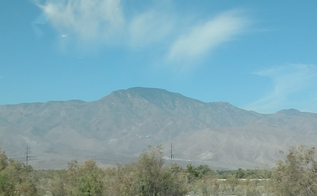
 The WalkHiking · ~19 min drivePhoto: InSapphoWeTrust from Los Angeles, California, USA, CC BY-SA 2.0 (via Wikimedia Commons)
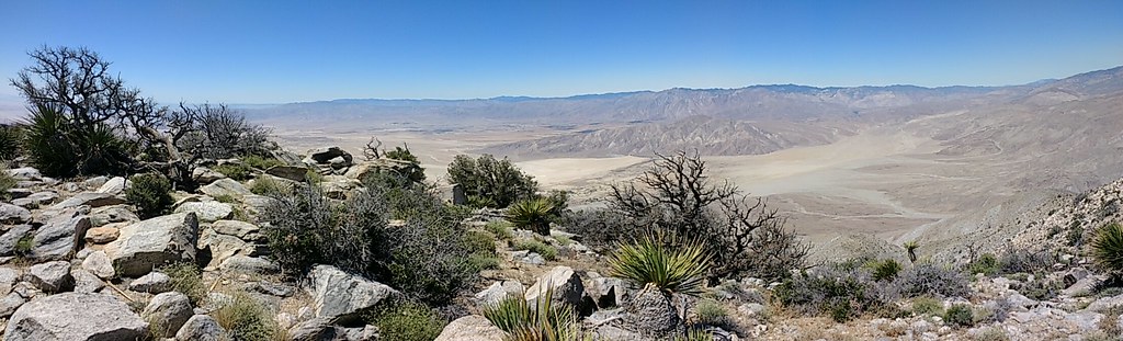 Rabbit Peak TrailHiking · ~20 min drivePhoto: Chris Hunkeler, CC BY-SA 2.0 (via Flickr)
 RidgeHiking · ~22 min drivePhoto: GSEC, CC BY 2.0 (via Flickr)
 Villager Peak TrailHiking · ~30 min drivePhoto: npdoty, CC BY 2.0 (via Flickr)
 Ropes Canyon (Hard)Hiking · ~22 min drivePhoto: theforestprimeval, CC BY-SA 2.0 (via Flickr)
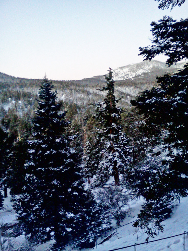 Cactus SpringsHiking · ~24 min drivePhoto: bossco, CC BY-SA 2.0 (via Flickr)
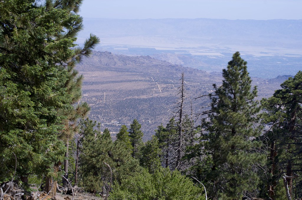 SawmillHiking · ~24 min drivePhoto: rmalouf, CC BY 2.0 (via Flickr)
 small canyon -unconfirmed-Hiking · ~22 min drivePhoto: Chris Hunkeler, CC BY-SA 2.0 (via Flickr)
 Hopalong Cassidy TrailHiking · ~26 min drivePhoto: docentjoyce, CC BY 2.0 (via Flickr)Truckhaven TrailHiking · ~30 min drivePhoto: npdoty, CC BY 2.0 (via Flickr)
Best months: November–April. Best months have typical highs of 55–85 °F, lows of 30 °F or warmer (32 °F where the station doesn't record snow), at most one snowy day and no more than 12 wet days.
Jan
66° / 40°
Feb
67° / 42°
Mar
75° / 46°
Apr
83° / 51°
May
89° / 58°
Jun
99° / 66°
Jul
103° / 74°
Aug
101° / 75°
Sep
96° / 68°
Oct
86° / 56°
Nov
74° / 46°
Dec
64° / 40°
Typical high / low (°F) and days with rain or snow, 1991–2020. Measured at Chiriaco Summit, CA, 28.7 mi away at 1,706 ft. This station doesn't record snowfall. Source: NOAA NCEI U.S. Climate Normals 1991–2020.
Map and trail data © OpenStreetMap contributors