Pinyon Flat Cg
Campground
Campground · 8.3 mi from the trail
Bear Creek Trail is a 6.2-mile out-and-back route on Bureau of Land Management land in the Palm Springs/S. Coast Field Office of California. The trail rises from about 534 feet to 2,282 feet, with a total elevation gain of 2,105 feet, and it is rated moderate. The climb starts steeply, with a steepest grade of 25% around mile 0.9, and the trail is roughly 3 hours long. Spring and fall are the most comfortable times to go. Typical averages from a nearby weather station in Hemet, which sits about 470 feet lower than the trail's high point, show April highs near 75°F and November highs near 73°F. Summer highs there reach the mid-90s, so expect warmer conditions up high. The Boo Hoff Trail lies about a mile away. Carrizo Canyon, Dead Indian Canyon and Martinez Mountain Trail are all within about 5.6 miles.
Pinyon Flat Cg
Campground
Children's museum in Rancho Mirage, California
Places © OpenStreetMap contributors, Places © Overture Maps Foundation
More in CoachellaNot on Roamze yet. Their page has how to reach them.
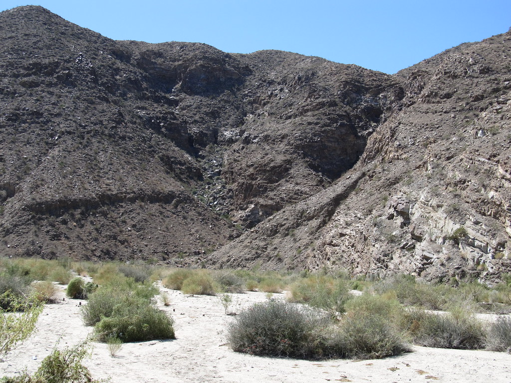 Carrizo CanyonHikingPhoto: Ken Lund, CC BY-SA 2.0 (via Flickr)5.3 miDead Indian CanyonHikingPhoto: Ken Lund, CC BY-SA 2.0 (via Flickr)5.4 mi
 The WalkHikingPhoto: InSapphoWeTrust from Los Angeles, California, USA, CC BY-SA 2.0 (via Wikimedia Commons)6 mi
 Hopalong Cassidy TrailHikingPhoto: docentjoyce, CC BY 2.0 (via Flickr)6.3 mi
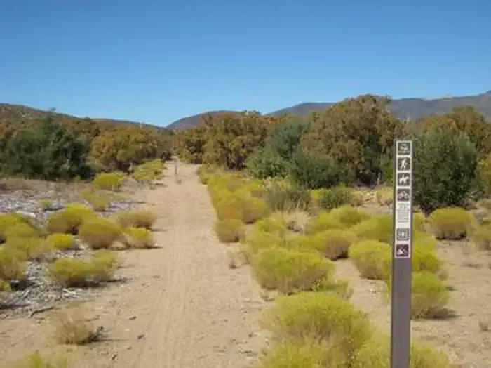 Ribbonwood Equestrian CgCampingPhoto: Recreation.gov (RIDB) / public domain8.5 mi
Source: Roamze catalog (indexable pages within 10 miles, PostGIS distance)
Carrizo CanyonHiking · ~9 min drivePhoto: Ken Lund, CC BY-SA 2.0 (via Flickr)Hopalong Cassidy TrailHiking · ~11 min drivePhoto: docentjoyce, CC BY 2.0 (via Flickr)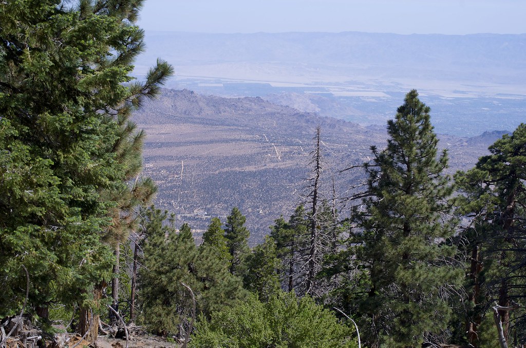 SawmillHiking · ~15 min drivePhoto: rmalouf, CC BY 2.0 (via Flickr)Dead Indian CanyonHiking · ~9 min drivePhoto: Ken Lund, CC BY-SA 2.0 (via Flickr)
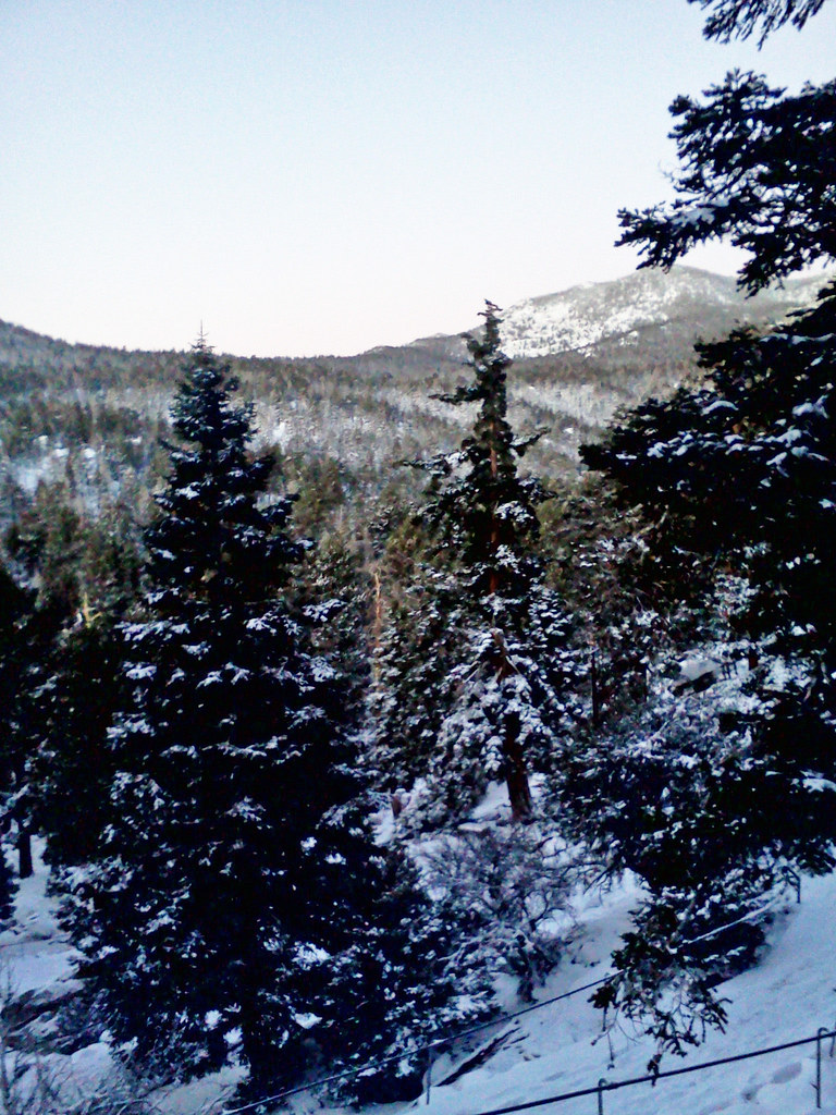 Cactus SpringsHiking · ~14 min drivePhoto: bossco, CC BY-SA 2.0 (via Flickr)
 Cathedral TrailHiking · ~21 min drivePhoto: Rainhead, CC BY-SA 2.0 (via Flickr)The WalkHiking · ~10 min drivePhoto: InSapphoWeTrust from Los Angeles, California, USA, CC BY-SA 2.0 (via Wikimedia Commons)
 Palm CanyonHiking · ~19 min drivePhoto: USFWS Pacific Southwest Region, Public Domain Mark (via Flickr)
 Fern Canyon TrailHiking · ~22 min drivePhoto: Martin Haeusler, CC BY-SA 3.0 (via Wikimedia Commons)
Best months: October–May. Best months have typical highs of 55–85 °F, lows of 30 °F or warmer (32 °F where the station doesn't record snow), at most one snowy day and no more than 12 wet days.
Jan
66° / 44°
6 wet
Feb
67° / 46°
6 wet
Mar
71° / 47°
5 wet
Apr
75° / 49°
3 wet
May
81° / 54°
2 wet
Jun
89° / 56°
1 wet
Jul
96° / 65°
1 wet
Aug
97° / 66°
1 wet
Sep
92° / 62°
1 wet
Oct
82° / 55°
2 wet
Nov
73° / 49°
3 wet
Dec
65° / 43°
5 wet
Typical high / low (°F) and days with rain or snow, 1991–2020. Measured at Hemet, CA, 33.6 mi away at 1,811 ft. Source: NOAA NCEI U.S. Climate Normals 1991–2020.
Map and trail data © OpenStreetMap contributors

