New Camp
Campground
Campground · 10.0 mi from the trail
 Photo: Chris Hunkeler, CC BY-SA 2.0 (via Flickr)
This hike is an easy out-and-back of about 2.3 miles in the Mecca Hills Wilderness, on Bureau of Land Management land within the Palm Springs/S. Coast Field Office. The nearest town is Palm Springs, and the route starts at about 890 feet, climbing to a high point of 1,230 feet before returning. The steepest stretch comes around the 0.9-mile mark, with a 10% grade. Total elevation gain for the round trip is about 475 feet. Winter and early spring are the most comfortable times to go. Typical averages from a nearby weather station show January highs around 70°F with lows near 44°F, while summer highs climb into the mid-100s. That station sits well below the trail, so temperatures on the route run cooler. Canyon and Ladder Canyon (Medium) are both within a third of a mile, and Ridge is about 0.4 miles away. Ropes Canyon (Hard) lies roughly half a mile off.
New Camp
Campground
Places © OpenStreetMap contributors, Places © Overture Maps Foundation
More in CoachellaNot on Roamze yet. Their page has how to reach them.
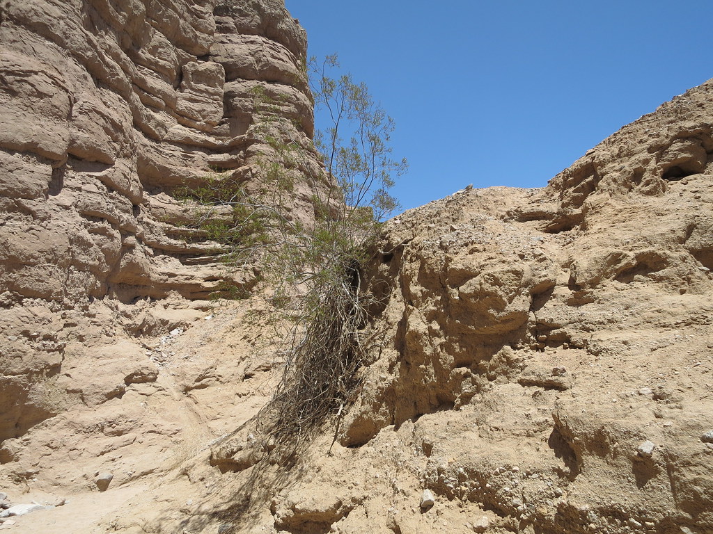 CanyonHikingPhoto: Chris Hunkeler, CC BY-SA 2.0 (via Flickr)0.2 mi
 Ladder Canyon (Medium)HikingPhoto: GSEC, CC BY 2.0 (via Flickr)0.3 miCanyon (Easy)HikingPhoto: Chris Hunkeler, CC BY-SA 2.0 (via Flickr)0.3 mi
 RidgeHikingPhoto: GSEC, CC BY 2.0 (via Flickr)0.4 mi
 Ropes Canyon (Hard)HikingPhoto: theforestprimeval, CC BY-SA 2.0 (via Flickr)0.5 mi
Source: Roamze catalog (indexable pages within 10 miles, PostGIS distance)
CanyonHiking · Next doorPhoto: Chris Hunkeler, CC BY-SA 2.0 (via Flickr)RidgeHiking · Next doorPhoto: GSEC, CC BY 2.0 (via Flickr)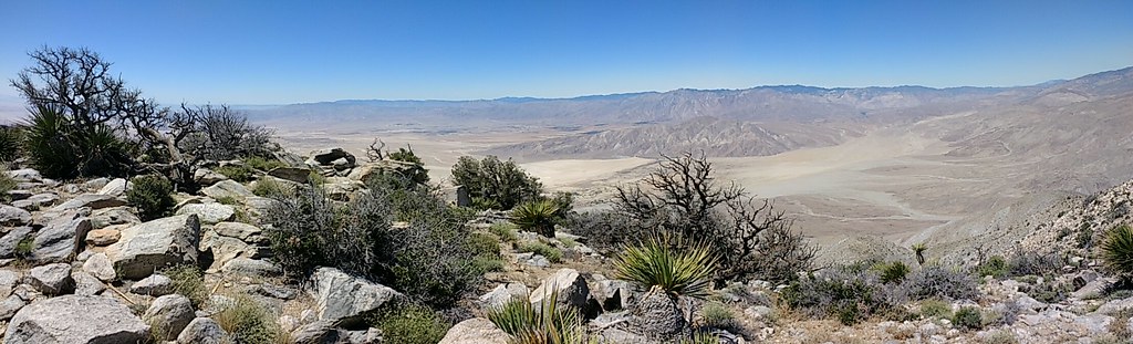 Rabbit Peak TrailHiking · ~36 min drivePhoto: Chris Hunkeler, CC BY-SA 2.0 (via Flickr)Ladder Canyon (Medium)Hiking · Next doorPhoto: GSEC, CC BY 2.0 (via Flickr)
 Hexehedron Main TrailHiking · ~35 min drivePhoto: inkknife_2000 (7.5 million views +), CC BY-SA 2.0 (via Wikimedia Commons)Canyon (Easy)Hiking · Next doorPhoto: Chris Hunkeler, CC BY-SA 2.0 (via Flickr)
 Paac Kü̱vü̱hü̱’k TrailHiking · ~36 min drivePhoto: inkknife_2000 (7.5 million views +), CC BY-SA 2.0 (via Wikimedia Commons)
Also worth it near here
 Pinto BasinRock climbing · ~22 min drivePhoto: aboutmytripdotcom, CC BY 2.0 (via Flickr)
 Cottonwood CampgroundCamping · ~23 min drivePhoto: Robb Hannawacker, while working for Joshua Tree National Park, Public domain (via Wikimedia Commons)
Best months: November–March. Best months have typical highs of 55–85 °F, lows of 30 °F or warmer (32 °F where the station doesn't record snow), at most one snowy day and no more than 12 wet days.
Jan
70° / 44°
Feb
74° / 47°
Mar
81° / 54°
Apr
87° / 59°
May
95° / 66°
Jun
102° / 72°
Jul
107° / 80°
Aug
106° / 80°
Sep
102° / 74°
Oct
91° / 62°
Nov
78° / 50°
Dec
69° / 42°
Typical high / low (°F) and days with rain or snow, 1991–2020. Measured at Mecca Fire Stn, CA, 5.9 mi away at -183 ft. The station sits about 1,400 ft lower than this place, so expect it a little cooler here. Source: NOAA NCEI U.S. Climate Normals 1991–2020.
Map and trail data © OpenStreetMap contributors
