Town Creek Truck Trail
- 5.6 mi
- round trip
- 4,129 ft
- climb
- 2,715 ft
- high point
- Out and back
- route
- Jan–Dec
- best months
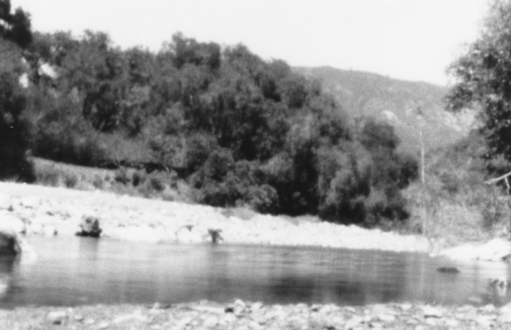
Town Creek Truck Trail is a hard hike in California, about 7.4 miles from the town of East Village. The route is an out-and-back of about 11 miles, with a total climb of roughly 4,129 feet. The trail starts at an elevation of about 2,575 feet and reaches a high point of about 2,715 feet, with the steepest stretch coming within the first half mile at a grade of about 27 percent. The most comfortable months for a visit are late spring through early fall. Typical averages from a nearby weather station at Hearst Castle show highs around 73 to 78°F from June through September, with almost no wet days in July and August. That station sits about 1,200 feet lower than the trail's high point, so temperatures on the route run cooler. The trip takes about six hours. Rocky Butte Truck Trail is about a mile away, and Cinnabar Rock Trail and Santa Rosa Creek Trail - East are within about 8 miles. For mountain biking, Brandon Semenuk's unReal Segment is about 9 miles off.
- Rocky Butte Truck TrailHiking1.2 mi
- Cinnabar Rock TrailHiking5.8 mi
- Santa Rosa Creek Trail - EastHiking7.8 mi
- Strawberry CanyonHiking8.8 mi
- One Shot: Brandon Semenuk's unReal SegmentMountain biking9.3 mi
- 5K pathHiking9.6 mi
Source: Roamze catalog (indexable pages within 10 miles, PostGIS distance)
 Elk Camp TrailHiking · ~29 min drivePhoto: Farhill, CC BY-SA 2.0 (via Flickr)
 San Carpoforo TrailHiking · ~30 min drivePhoto: Farhill, CC BY-SA 2.0 (via Flickr)
 Williams Ranch Southern UsetrailHiking · ~30 min drivePhoto: cjuneau from Ottawa, CANADA, CC BY-SA 2.0 (via Wikimedia Commons)
- Rocky Butte Truck TrailHiking · ~22 min drive
 Baldwin Ranch Shortcut UsetrailHiking · ~32 min drivePhoto: Farhill, CC BY-SA 2.0 (via Flickr)
- Bald Top UsetrailHiking · ~30 min drivePhoto: cjuneau from Ottawa, CANADA, CC BY-SA 2.0 (via Wikimedia Commons)
 Spruce CreekHiking · ~36 min drivePhoto: sergei.gussev, CC BY 2.0 (via Flickr)
- Dutra UsetrailHiking · ~32 min drivePhoto: Farhill, CC BY-SA 2.0 (via Flickr)
 Lottie PotreroHiking · ~30 min drivePhoto: Farhill, CC BY-SA 2.0 (via Flickr)
 BuckeyeHiking · ~38 min drivePhoto: cjuneau, CC BY 2.0 (via Wikimedia Commons)
Best time to visit Town Creek Truck Trail
Best months: Year-round. Best months have typical highs of 55–85 °F, lows of 30 °F or warmer (32 °F where the station doesn't record snow), at most one snowy day and no more than 12 wet days.
Jan
60° / 47°
8 wet
Feb
60° / 45°
8 wet
Mar
62° / 47°
8 wet
Apr
65° / 47°
5 wet
May
69° / 52°
2 wet
Jun
73° / 55°
1 wet
Jul
75° / 57°
0 wet
Aug
77° / 58°
0 wet
Sep
78° / 60°
1 wet
Oct
74° / 56°
3 wet
Nov
66° / 50°
5 wet
Dec
59° / 46°
8 wet
Typical high / low (°F) and days with rain or snow, 1991–2020. Measured at Hearst Castle, CA, 8.2 mi away at 1,526 ft. The station sits about 1,200 ft lower than this place, so expect it a little cooler here. Source: NOAA NCEI U.S. Climate Normals 1991–2020.
Map and trail data © OpenStreetMap contributors
