Rocky Butte Truck Trail
- 2.9 mi
- round trip
- 2,103 ft
- climb
- 3,176 ft
- high point
- Out and back
- route
Rocky Butte Truck Trail is a 5.8-mile out-and-back hike in California, about 6.4 miles from the town of East Village. The route climbs to a high point of 3,176 feet, with a total elevation gain of 2,103 feet over the course of the trip. The climb is front-loaded, and the steepest stretch comes at about 2.3 miles in, where the grade reaches 20 percent. The trail is rated moderate, and the round trip takes about three hours. The route starts at 1,684 feet and ends at the same elevation, so the total gain and loss are each about 2,100 feet. Town Creek Truck Trail lies about 1.2 miles away, and Cinnabar Rock Trail is about 5.4 miles off. Santa Rosa Creek Trail - East and Strawberry Canyon are both within about 8 miles.
- Town Creek Truck TrailHiking1.2 mi
- Cinnabar Rock TrailHiking5.4 mi
- Santa Rosa Creek Trail - EastHiking6.8 mi
- Strawberry CanyonHiking7.9 mi
- One Shot: Brandon Semenuk's unReal SegmentMountain biking8.9 mi
Source: Roamze catalog (indexable pages within 10 miles, PostGIS distance)
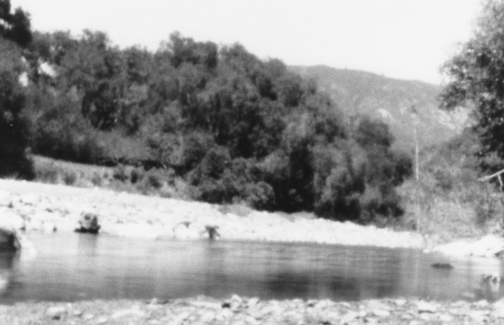 Elk Camp TrailHiking · ~28 min drivePhoto: Farhill, CC BY-SA 2.0 (via Flickr)
 San Carpoforo TrailHiking · ~29 min drivePhoto: Farhill, CC BY-SA 2.0 (via Flickr)
 Williams Ranch Southern UsetrailHiking · ~29 min drivePhoto: cjuneau from Ottawa, CANADA, CC BY-SA 2.0 (via Wikimedia Commons)
- Rocky Butte Truck TrailHiking · ~21 min drive
 Baldwin Ranch Shortcut UsetrailHiking · ~31 min drivePhoto: Farhill, CC BY-SA 2.0 (via Flickr)
- Bald Top UsetrailHiking · ~29 min drivePhoto: cjuneau from Ottawa, CANADA, CC BY-SA 2.0 (via Wikimedia Commons)
 Spruce CreekHiking · ~36 min drivePhoto: sergei.gussev, CC BY 2.0 (via Flickr)
- Dutra UsetrailHiking · ~32 min drivePhoto: Farhill, CC BY-SA 2.0 (via Flickr)
 Lottie PotreroHiking · ~30 min drivePhoto: Farhill, CC BY-SA 2.0 (via Flickr)
 BuckeyeHiking · ~37 min drivePhoto: cjuneau, CC BY 2.0 (via Wikimedia Commons)
Map and trail data © OpenStreetMap contributors
