KOA Kampground
Campground
Campground · 4.3 mi from the trail
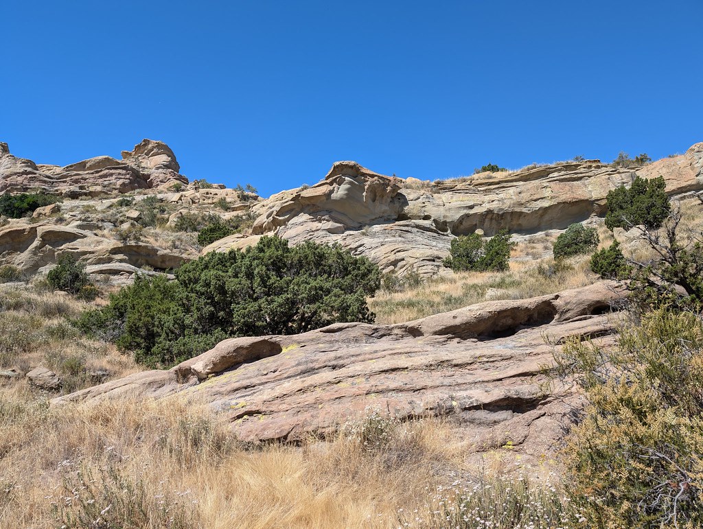 Photo: RuggyBearLA, CC BY 2.0 (via Flickr)
Tokupar Ridgetop Trail is a short, easy hike in Vasquez Rocks Natural Area and Nature Center, on county land in California. The trail is about 0.7 miles long and rises roughly 266 feet from its starting point at 2,591 feet to a high of 2,780 feet, with the steepest stretch at about 0.09 miles in. Spring and fall are the most comfortable times to go. Typical averages from a nearby weather station in Palmdale show April highs around 75°F and October highs around 81°F, while July and August average about 98°F. Vasquez Rocks, a climbing area, sits about half a mile away. Rosa Canyon Truck Trail and Rowher Truck Trail are both about 4 miles off, and Zuni Campground is roughly 8 miles away.
KOA Kampground
Campground
The Cowboy Tavern
Restaurant
 If it rainsAlan Wilson from Stilton, Peterborough, Cambs, UK, CC BY-SA 2.0 · Wikimedia Commons
Aviation museum in Palmdale, California, United States
Places © OpenStreetMap contributors · Photos: Alan Wilson from Stilton, Peterborough, Cambs, UK, CC BY-SA 2.0 (commons)
More in Acton Vasquez RocksRock climbingPhoto: Philipp Litvin philipplitvin, CC0 (via Wikimedia Commons)0.5 mi
 Rowher TrailHikingPhoto: GSEC, CC BY 2.0 (via Flickr)4.3 mi
Source: Roamze catalog (indexable pages within 10 miles, PostGIS distance)
Rowher TrailHiking · ~7 min drivePhoto: GSEC, CC BY 2.0 (via Flickr) Santa Clara Truck TrailHiking · ~11 min drivePhoto: Kevin M. Gill, CC BY 2.0 (via Flickr)
 Fair Oaks TrailHiking · ~13 min drivePhoto: RuggyBearLA, CC BY 2.0 (via Flickr)
 Bothwell TrailHiking · ~16 min drivePhoto: dcole6, CC BY 2.0 (via Flickr)
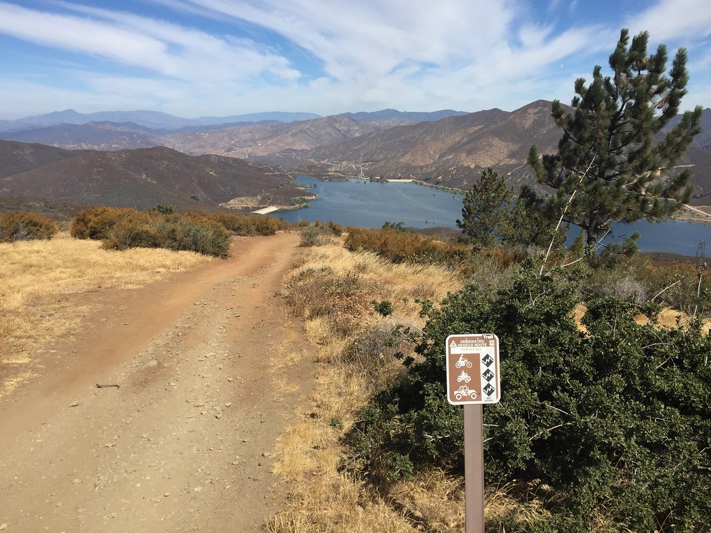 Artesian Springs TrailHiking · ~11 min drivePhoto: GSEC, CC BY 2.0 (via Flickr)
 Mitchell TrailHiking · ~17 min drivePhoto: dcole6, CC BY 2.0 (via Flickr)Shadow Glen TrailHiking · ~16 min drivePhoto: dcole6, CC BY 2.0 (via Flickr)
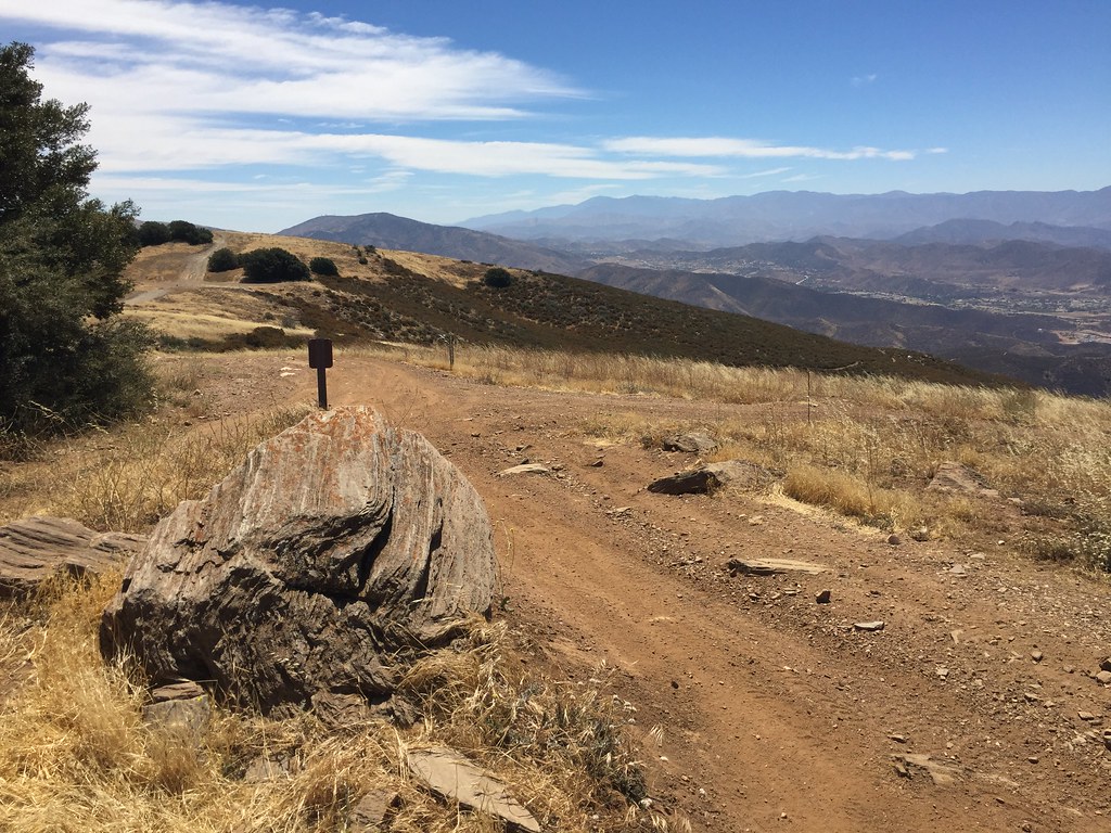 Lookout TrailHiking · ~10 min drivePhoto: GSEC, CC BY 2.0 (via Flickr)Homestead TrailHiking · ~17 min drivePhoto: dcole6, CC BY 2.0 (via Flickr)
Also worth it near here
Best months: October–May. Best months have typical highs of 55–85 °F, lows of 30 °F or warmer (32 °F where the station doesn't record snow), at most one snowy day and no more than 12 wet days.
Jan
60° / 35°
5 wet
Feb
63° / 37°
5 wet
Mar
69° / 42°
4 wet
Apr
75° / 46°
2 wet
May
83° / 53°
1 wet
Jun
92° / 61°
0 wet
Jul
98° / 68°
1 wet
Aug
98° / 66°
1 wet
Sep
92° / 60°
1 wet
Oct
81° / 50°
1 wet
Nov
68° / 40°
3 wet
Dec
58° / 34°
4 wet
Typical high / low (°F) and days with rain or snow, 1991–2020. Measured at Palmdale, CA, 15 mi away at 2,612 ft. Source: NOAA NCEI U.S. Climate Normals 1991–2020.
Map and trail data © OpenStreetMap contributors

