Streamside Campground
Campground
Campground · 3.9 mi from the trail
 Photo: GSEC, CC BY 2.0 (via Flickr)
Caution at last check
Agency alerts are in effect for this area; weather is good · USFS, OpenWeather · checked 18 h ago
Alert in the area
The Forest Service lists 7 alerts for Angeles National Forest.
Rincon-Redbox Road (2N24) Closure
Agency alert covering Angeles National Forest · Order 05-01-26-13 · USFS · Angeles National Forest
Fire Danger Level Elevated to "Very High"
Agency alert covering Angeles National Forest · USFS · Angeles National Forest
San Gabriel Canyon OHV Area Prohibitions
Agency alert covering Angeles National Forest · Order 05-01-26-09 · USFS · Angeles National Forest
San Dimas Experimental Forest Closure
Agency alert covering Angeles National Forest · USFS · Angeles National Forest
Eaton Fire Area Closure
Agency alert covering Angeles National Forest · Order 05-01-26-04 · USFS · Angeles National Forest
As of · Source: USFS · Angeles National Forest. Agencies don't list every closure — check before you go.
Rowher Trail is a hard hike in the Los Angeles Gateway Ranger District of Angeles National Forest in California, managed by the Forest Service. The route is an out-and-back of about 10 miles, with a steady climb to a high point of 4,844 feet and a total round-trip gain of about 4,232 feet. The trail starts at roughly 3,066 feet and drops back to that level on the return. The trip takes about 5.5 hours. The steepest part comes within the first third of the route, where the grade reaches about 47%. That makes the early stretch the most punishing, so plan on the climb as a long, consistent effort rather than a series of short ascents. The Rowher Truck Trail lies about 0.2 miles away, and the Rosa Canyon Truck Trail is about 0.8 miles off. For climbing, the East Face of the Elephant's Head (The Caves) is about 2 miles away, and Zuni Campground is about 5.2 miles away for an overnight stay.
Streamside Campground
Campground
 If it rainsAlan Wilson from Stilton, Peterborough, Cambs, UK, CC BY-SA 2.0 · Wikimedia Commons
Aviation museum in Palmdale, California, United States
Places © OpenStreetMap contributors, Places © Overture Maps Foundation · Photos: Alan Wilson from Stilton, Peterborough, Cambs, UK, CC BY-SA 2.0 (commons)
More in Acton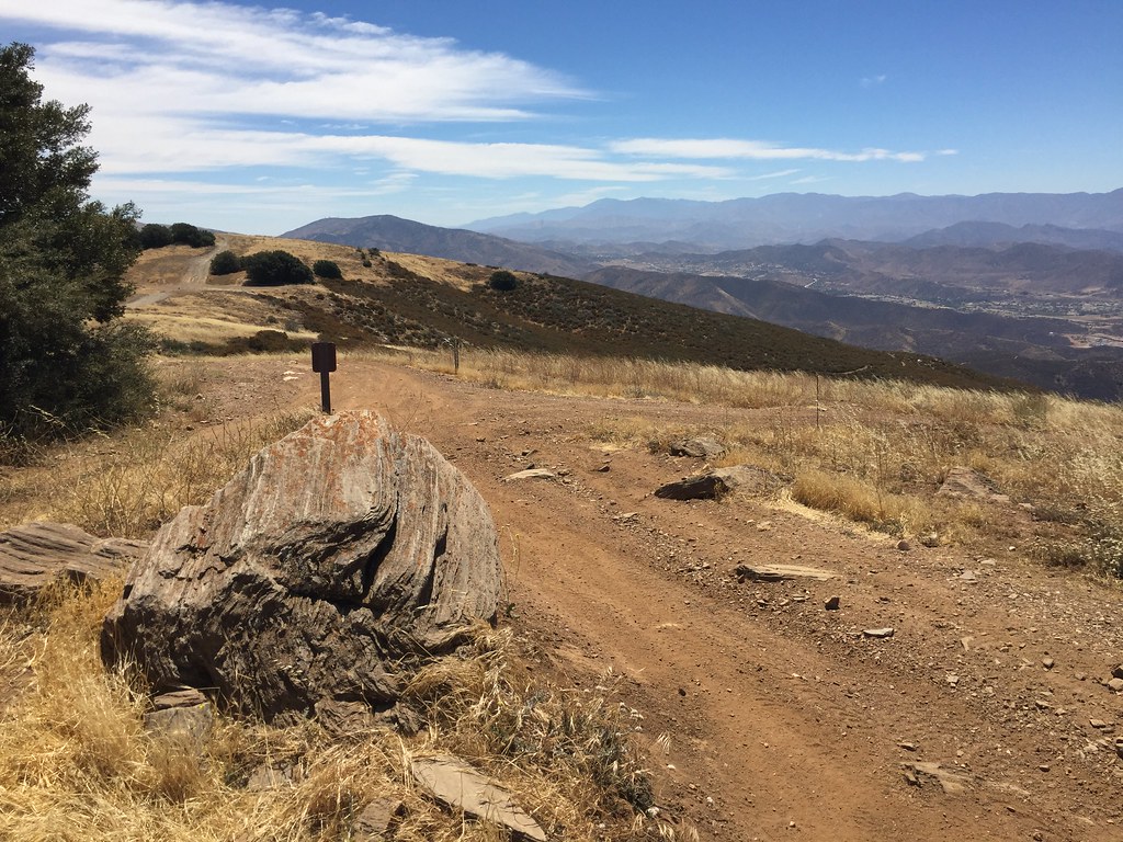 Lookout TrailHikingPhoto: GSEC, CC BY 2.0 (via Flickr)2.1 mi
Source: Roamze catalog (indexable pages within 10 miles, PostGIS distance)
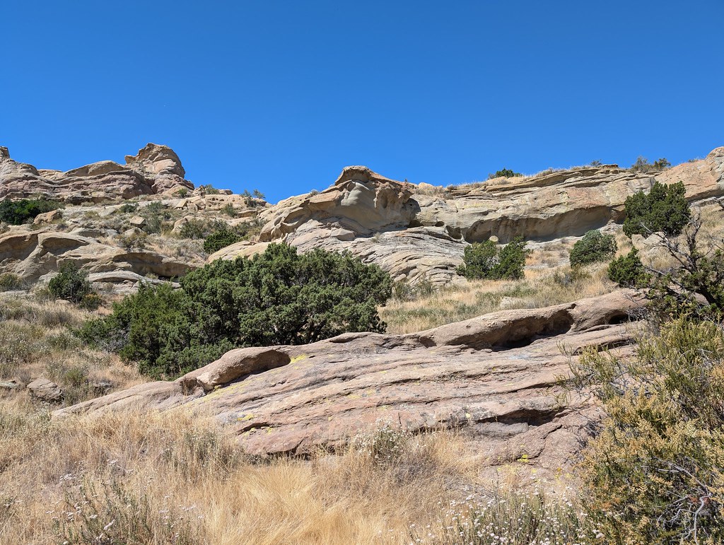 Tokupar Ridgetop TrailHiking · ~7 min drivePhoto: RuggyBearLA, CC BY 2.0 (via Flickr)
 Santa Clara Truck TrailHiking · ~18 min drivePhoto: Kevin M. Gill, CC BY 2.0 (via Flickr)
 Bothwell TrailHiking · ~19 min drivePhoto: dcole6, CC BY 2.0 (via Flickr)Lookout TrailHiking · ~4 min drivePhoto: GSEC, CC BY 2.0 (via Flickr)
 Fair Oaks TrailHiking · ~15 min drivePhoto: RuggyBearLA, CC BY 2.0 (via Flickr)
 Shadow Glen TrailHiking · ~19 min drivePhoto: dcole6, CC BY 2.0 (via Flickr)
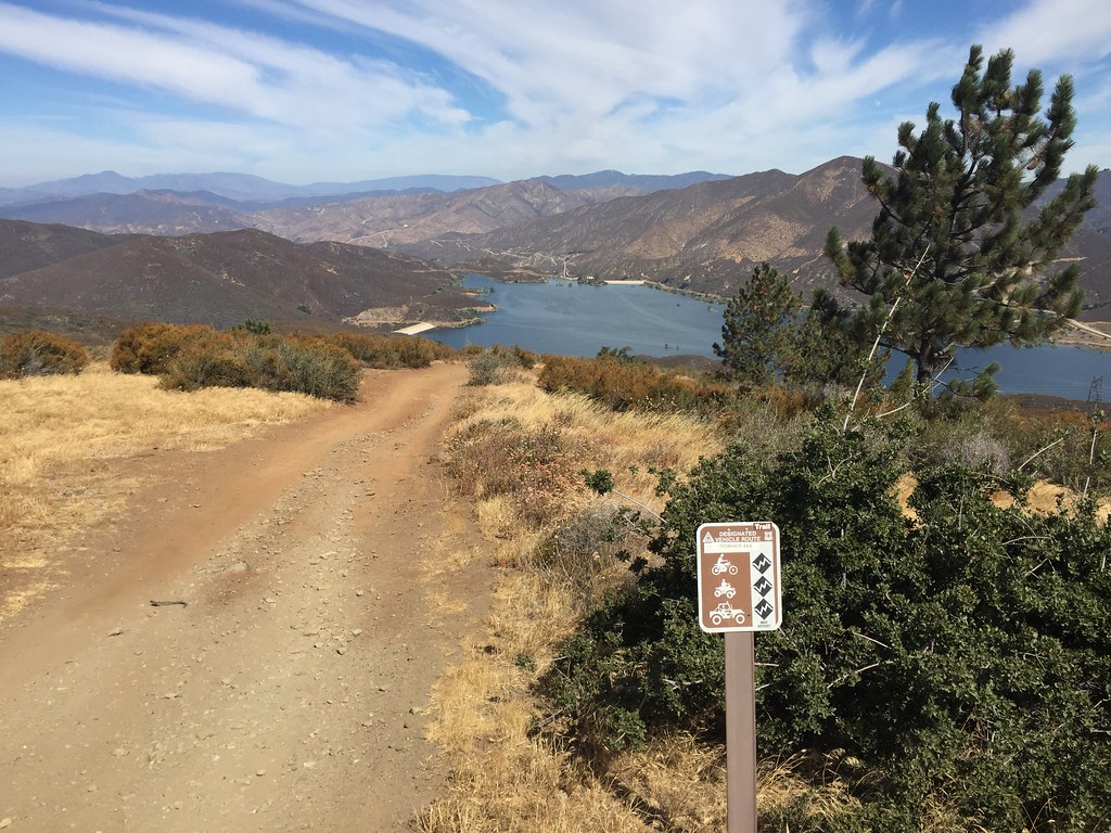 Artesian Springs TrailHiking · ~5 min drivePhoto: GSEC, CC BY 2.0 (via Flickr)Mitchell TrailHiking · ~19 min drivePhoto: dcole6, CC BY 2.0 (via Flickr)
 Placerita TrailHiking · ~19 min drivePhoto: Demi Lucas, CC BY 3.0 (via Wikimedia Commons)
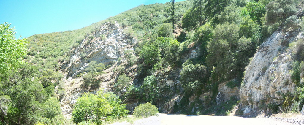 Warm Springs TrailHiking · ~21 min drivePhoto: tkksummers, CC BY-SA 2.0 (via Flickr)
Map and trail data © OpenStreetMap contributors

