Messenger Flats
Campground
Campground · 2.2 mi from the trail
Alert in the area
The Forest Service lists 7 alerts for Angeles National Forest.
Rincon-Redbox Road (2N24) Closure
Agency alert covering Angeles National Forest · Order 05-01-26-13 · USFS · Angeles National Forest
Fire Danger Level Elevated to "Very High"
Agency alert covering Angeles National Forest · USFS · Angeles National Forest
San Gabriel Canyon OHV Area Prohibitions
Agency alert covering Angeles National Forest · Order 05-01-26-09 · USFS · Angeles National Forest
San Dimas Experimental Forest Closure
Agency alert covering Angeles National Forest · USFS · Angeles National Forest
Eaton Fire Area Closure
Agency alert covering Angeles National Forest · Order 05-01-26-04 · USFS · Angeles National Forest
As of · Source: USFS · Angeles National Forest. Agencies don't list every closure — check before you go.
Moody Canyon Truck Trail is an expert-level out-and-back hike in the San Gabriel Mountains National Monument Ranger District of Angeles National Forest, managed by the Forest Service. The trail starts at about 2,636 feet and climbs to a high point of 5,435 feet, with a total gain of nearly 4,000 feet over the 16.4-mile round trip. The climb is front-loaded, and the steepest stretch comes at about 4.9 miles in, where the grade reaches 22%. Spring and fall are the most comfortable times to go. Typical averages from a nearby weather station at Mt Wilson show May highs around 70°F and October highs around 72°F, while July and August average in the mid-80s. Messenger Flats campground sits about 2.2 miles away, and the Santa Clara Truck Trail and Lightning Point Interpretive hike are both within about 3 miles. Climbers can find the Light Bulb area about 3.2 miles off.
Messenger Flats
Campground
'49er Saloon
Restaurant
 If it rainsDoncram, CC BY-SA 3.0 · Wikimedia Commons
Historic American Craftsman era stone building in Tujunga, Los Angeles County, California
Places © OpenStreetMap contributors · Photos: Doncram, CC BY-SA 3.0 (commons)
More in Acton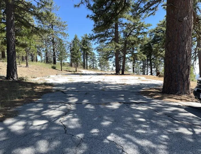 Lightning Point Group CampgroundCampingPhoto: Recreation.gov (RIDB) / public domain2.9 mi
 Big Tujunga CreekCanoeingPhoto: MajaTrochimczyk, CC BY 3.0 us (via Wikimedia Commons)8.2 mi
Source: Roamze catalog (indexable pages within 10 miles, PostGIS distance)
 Santa Clara Truck TrailHiking · ~12 min drivePhoto: Kevin M. Gill, CC BY 2.0 (via Flickr)
 Trail Canyon TrailHiking · ~13 min drivePhoto: JingKe888, CC BY 2.0 (via Flickr)
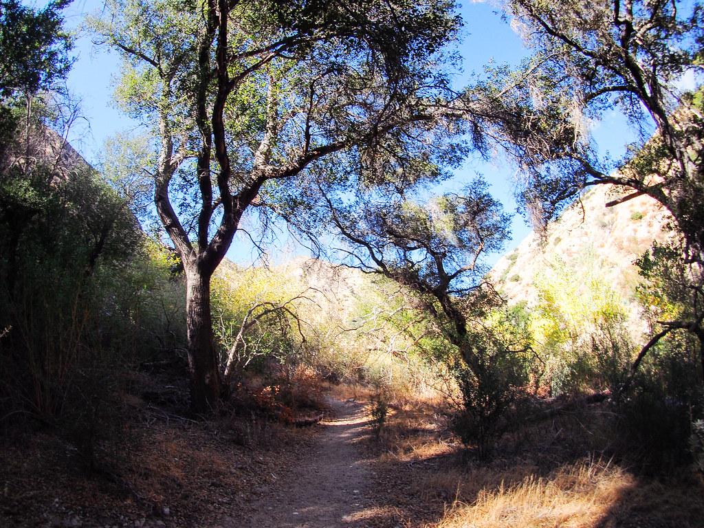 Gold Canyon Trail (UNMAINTAINED)Hiking · ~14 min drivePhoto: JingKe888, CC BY 2.0 (via Flickr)
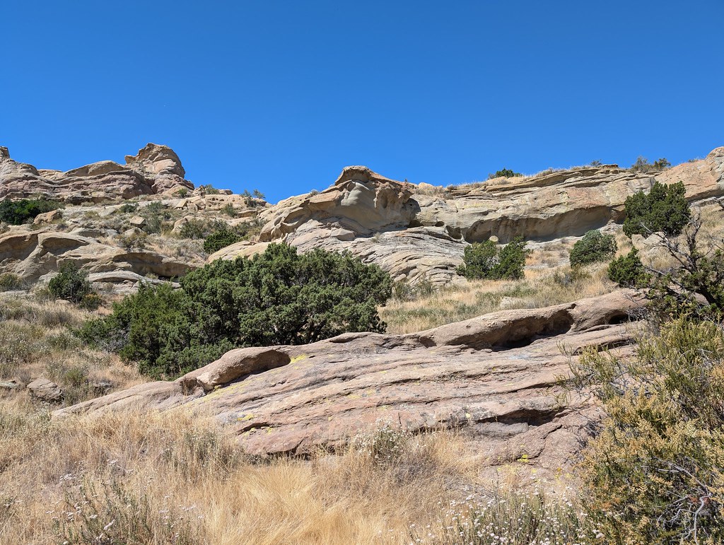 Tokupar Ridgetop TrailHiking · ~15 min drivePhoto: RuggyBearLA, CC BY 2.0 (via Flickr)
 Strawberry Peak TrailHiking · ~17 min drivePhoto: mjhbower, CC BY-SA 2.0 (via Flickr)
 Colby CanyonHiking · ~17 min drivePhoto: mjhbower, CC BY-SA 2.0 (via Flickr)
 Hoyt Mountain TrailHiking · ~17 min drivePhoto: cdsessums, CC BY-SA 2.0 (via Flickr)
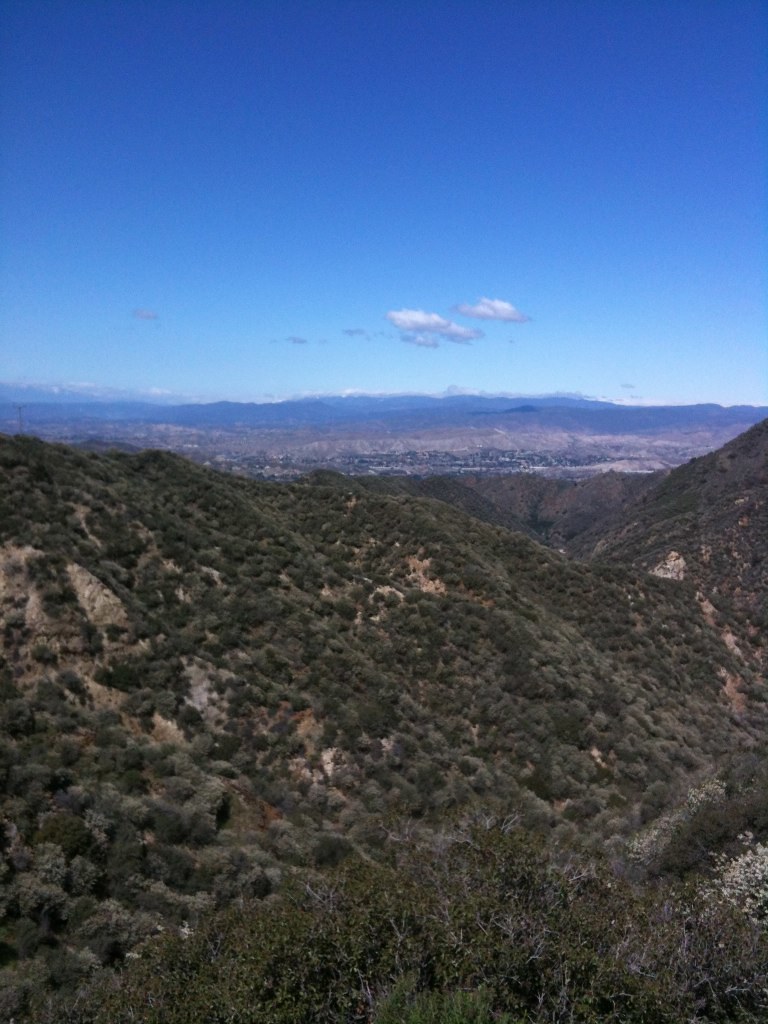 BoulderHiking · ~16 min drivePhoto: Stiggs13, CC BY 2.0 (via Flickr)
 Pickens TrailHiking · ~18 min drivePhoto: mjhbower, CC BY-SA 2.0 (via Flickr)World of ChaparralHiking · ~17 min drivePhoto: cdsessums, CC BY-SA 2.0 (via Flickr)
Best months: Year-round. Best months have typical highs of 55–85 °F, lows of 30 °F or warmer (32 °F where the station doesn't record snow), at most one snowy day and no more than 12 wet days.
Jan
56° / 38°
7 wet
Feb
55° / 37°
8 wet
Mar
59° / 39°
7 wet
Apr
63° / 42°
4 wet
May
70° / 48°
3 wet
Jun
79° / 58°
1 wet
Jul
84° / 64°
1 wet
Aug
85° / 64°
1 wet
Sep
81° / 59°
1 wet
Oct
72° / 51°
3 wet
Nov
63° / 43°
4 wet
Dec
55° / 37°
7 wet
Typical high / low (°F) and days with rain or snow, 1991–2020. Measured at Mt Wilson Cbs, CA, 14.4 mi away at 5,710 ft. This station doesn't record snowfall. Source: NOAA NCEI U.S. Climate Normals 1991–2020.
Map and trail data © OpenStreetMap contributors

