Spunky
Campground
Campground · 4.0 mi from the trail
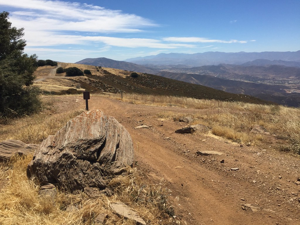 Photo: GSEC, CC BY 2.0 (via Flickr)
Caution at last check
Agency alerts are in effect for this area; weather is good · USFS, OpenWeather · checked 18 h ago
Alert in the area
The Forest Service lists 7 alerts for Angeles National Forest.
Rincon-Redbox Road (2N24) Closure
Agency alert covering Angeles National Forest · Order 05-01-26-13 · USFS · Angeles National Forest
Fire Danger Level Elevated to "Very High"
Agency alert covering Angeles National Forest · USFS · Angeles National Forest
San Gabriel Canyon OHV Area Prohibitions
Agency alert covering Angeles National Forest · Order 05-01-26-09 · USFS · Angeles National Forest
San Dimas Experimental Forest Closure
Agency alert covering Angeles National Forest · USFS · Angeles National Forest
Eaton Fire Area Closure
Agency alert covering Angeles National Forest · Order 05-01-26-04 · USFS · Angeles National Forest
As of · Source: USFS · Angeles National Forest. Agencies don't list every closure — check before you go.
Lookout Trail is a 5.3-mile out-and-back hike in the Los Angeles Gateway Ranger District of Angeles National Forest, managed by the Forest Service. The trail starts at 4,844 feet and climbs to a high point of 4,844 feet, which makes it a loop rather than a true ascent. The route is rolling, with a total gain and loss of 2,533 feet, and the steepest stretch comes at about 1.3 miles in, where the grade reaches 36 percent. Spring and fall are the most comfortable times to go. Typical averages from a nearby weather station at Sandberg, CA, show May highs around 70°F and October highs around 71°F, while July and August average highs near 88°F. The trip takes about three hours. Artesian Springs Trail lies about a mile away, and Rowher Trail and Rowher Truck Trail are both within about 2.3 miles. Climbers can find the East Face of the Elephant's Head (The Caves) about 3.5 miles off.
Spunky
Campground
 If it rainsAlan Wilson from Stilton, Peterborough, Cambs, UK, CC BY-SA 2.0 · Wikimedia Commons
Aviation museum in Palmdale, California, United States
Places © OpenStreetMap contributors, Places © Overture Maps Foundation · Photos: Alan Wilson from Stilton, Peterborough, Cambs, UK, CC BY-SA 2.0 (commons)
More in Acton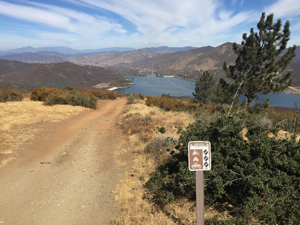 Artesian Springs TrailHikingPhoto: GSEC, CC BY 2.0 (via Flickr)1 mi
 Rowher TrailHikingPhoto: GSEC, CC BY 2.0 (via Flickr)2.1 mi
Source: Roamze catalog (indexable pages within 10 miles, PostGIS distance)
Artesian Springs TrailHiking · ~2 min drivePhoto: GSEC, CC BY 2.0 (via Flickr)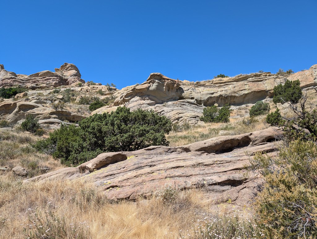 Tokupar Ridgetop TrailHiking · ~10 min drivePhoto: RuggyBearLA, CC BY 2.0 (via Flickr)
 Santa Clara Truck TrailHiking · ~21 min drivePhoto: Kevin M. Gill, CC BY 2.0 (via Flickr)
 Bothwell TrailHiking · ~22 min drivePhoto: dcole6, CC BY 2.0 (via Flickr)Rowher TrailHiking · ~4 min drivePhoto: GSEC, CC BY 2.0 (via Flickr)
 Fair Oaks TrailHiking · ~19 min drivePhoto: RuggyBearLA, CC BY 2.0 (via Flickr)
 Placerita TrailHiking · ~23 min drivePhoto: Demi Lucas, CC BY 3.0 (via Wikimedia Commons)
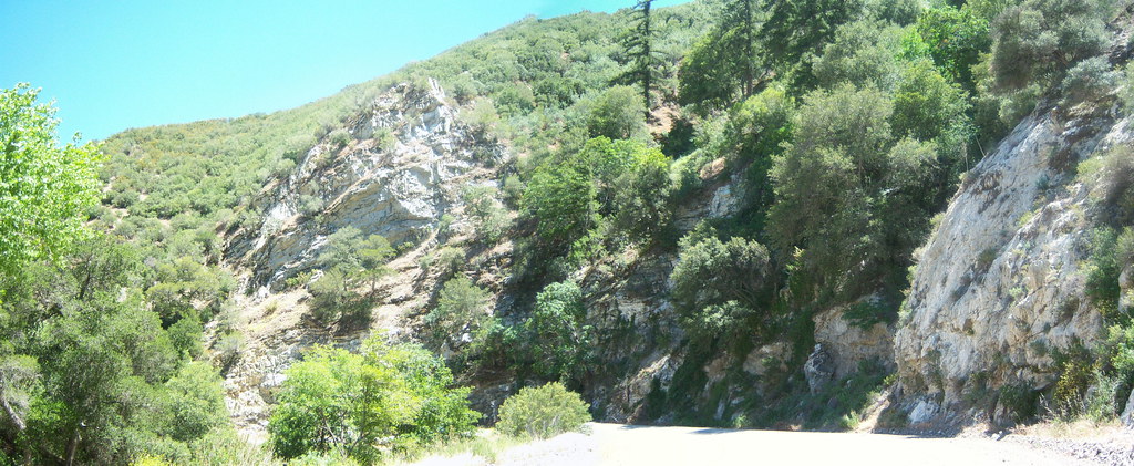 Warm Springs TrailHiking · ~21 min drivePhoto: tkksummers, CC BY-SA 2.0 (via Flickr)
 Poppy Trail South LoopHiking · ~21 min drivePhoto: allan.cronin, CC BY-SA 2.0 (via Flickr)
 Shadow Glen TrailHiking · ~23 min drivePhoto: dcole6, CC BY 2.0 (via Flickr)
Best months: March–June and September–November. Best months have typical highs of 55–85 °F, lows of 30 °F or warmer (32 °F where the station doesn't record snow), at most one snowy day and no more than 12 wet days.
Jan
52° / 39°
7 wet
Feb
53° / 38°
8 wet
Mar
57° / 41°
7 wet
Apr
62° / 43°
5 wet
May
70° / 49°
3 wet
Jun
80° / 58°
1 wet
Jul
88° / 65°
1 wet
Aug
88° / 65°
1 wet
Sep
83° / 61°
1 wet
Oct
71° / 52°
2 wet
Nov
60° / 44°
4 wet
Dec
52° / 38°
6 wet
Typical high / low (°F) and days with rain or snow, 1991–2020. Measured at Sandberg, CA, 24.5 mi away at 4,510 ft. This station doesn't record snowfall. Source: NOAA NCEI U.S. Climate Normals 1991–2020.
Map and trail data © OpenStreetMap contributors

