Base Camp
Campground
Campground · 1.2 mi from the trail
 Photo: schvin, CC BY 2.0 (via Flickr)
Alert in the area
The Forest Service lists 2 alerts for Eldorado National Forest.
Help Halt Golden Mussel Invasion
Agency alert covering Eldorado National Forest · USFS · Eldorado National Forest
Deer Valley Trail (19E01) & Meadow Lake Road (09N01)
Agency alert covering Eldorado National Forest · Order 03-24-05 · USFS · Eldorado National Forest
As of · Source: USFS · Eldorado National Forest. Agencies don't list every closure — check before you go.
Thunder Mountain is an easy out-and-back hike in California's Eldorado National Forest, within the Amador Ranger District. The trail is about 1.2 miles long, with a low point of 9,204 feet and a high of 9,399 feet, so the one-way climb is about 170 feet. The Forest Service manages the land. The trail is on natural surface and allows both horses and bikes, which makes it a practical option for riders or pack animals. It is open year-round. The climb is gentle, and the route works well as a short outing. The trail's proximity to Caples Lake adds to the draw. Caples Lake Resort, Caples Creek and the climbing area at The Basement all lie within about 2.8 miles. Silver Lake Campground is about 1.9 miles away.
Base Camp
Campground
Snowshoe Bar & Grill
Restaurant
Alpine County Museum
Museum
Places © OpenStreetMap contributors
More in Bear ValleyNot on Roamze yet. Their page has how to reach them.
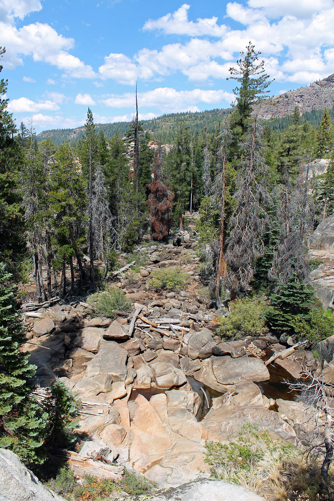 Photo: sarahstierch, Public Domain Dedication (CC0) (via Flickr)
East Silver Lake
~2 min drive
East Silver Lake is a 1.37-mile out-and-back trail in California with 262 ft of elevation gain.
 Photo: RuggyBearLA, CC BY 2.0 (via Flickr)
Silver Lake-Horse Canyon Trail
~3 min drive
6.52-mile out-and-back trail in California with 2,527 ft elevation gain/loss.
 Photo: sarahstierch, Public Domain Dedication (CC0) (via Flickr)
Minkalo
~3 min drive
4.26-mile out-and-back trail in California with 439 ft elevation gain.
 Photo: RuggyBearLA, CC BY 2.0 (via Flickr)
Sentinels Trail
~2 min drive
2.18-mile out-and-back hike in California with 872 ft elevation gain and loss.
 Photo: Ken Lund, CC BY-SA 2.0 (via Flickr)
Thunder Mountain Loop
~4 min drive
9.51-mile out-and-back trail in California with 1,820 ft gain.
Photo: RuggyBearLA, CC BY 2.0 (via Flickr)THUNDER MOUNTAIN LOOP
~3 min drive
3.26-mile out-and-back trail in California with 1,526 ft elevation gain.
Photo: RuggyBearLA, CC BY 2.0 (via Flickr)Castle Point Trail
~4 min drive
3.12-mile out-and-back trail in California with 993 ft gain and 8,038 ft max elevation.
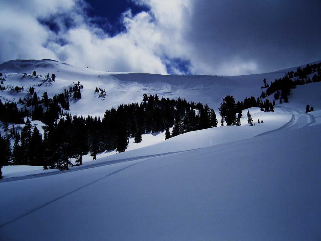 Photo: JLH PHOTO, CC BY 2.0 (via Flickr)
Silver Lake-Horse Canyon Trail
~5 min drive
6.02-mile out-and-back trail in California with 2,915 ft elevation gain.
 Photo: Jim Morefield, CC BY-SA 2.0 (via Flickr)
Granite Lake
~4 min drive
3.80-mile out-and-back trail to Granite Lake in California with 284 ft of elevation gain.
 Photo: ray_explores, CC BY 2.0 (via Flickr)
Shealor Lake
~5 min drive
0.94-mile out-and-back trail to Shealor Lake in California with 241 ft of elevation gain.
Season: Year-round.
About 1.2 mi round trip.
About 170 ft of climbing round trip.
It is rated easy.
Year-round.
Daily highs and lows, wind and the chance of precipitation at the summit and route start for the next 7 days, from the Open-Meteo model.


