Silver Lake East Campground
Campground
Campground · 1.0 mi from the trail
 Photo: sarahstierch, Public Domain Dedication (CC0) (via Flickr)
Alert in the area
The Forest Service lists 2 alerts for Eldorado National Forest.
Help Halt Golden Mussel Invasion
Agency alert covering Eldorado National Forest · USFS · Eldorado National Forest
Deer Valley Trail (19E01) & Meadow Lake Road (09N01)
Agency alert covering Eldorado National Forest · Order 03-24-05 · USFS · Eldorado National Forest
As of · Source: USFS · Eldorado National Forest. Agencies don't list every closure — check before you go.
Minkalo is a moderate hike of about 4.3 miles in the Amador Ranger District of Eldorado National Forest in California, managed by the Forest Service. The route is an out-and-back that gains about 223 feet in elevation, from a low point near 7,268 feet to a high point near 7,508 feet. Summer is the most comfortable time to go. Typical averages from a nearby weather station at Dagget Pass show July highs around 75°F and lows near 49°F, with only about one or two wet days a month. Winters are cold, with January highs in the mid-30s. The trail is on natural surface and allows horses. East Silver Lake and Granite Lake are both within half a mile. Silver Lake Campground is about a mile away, and the Freaks climbing area is just over a mile off.
Silver Lake East Campground
Campground
Kit Carson Restaurant
Restaurant
Alpine County Museum
Museum
Places © OpenStreetMap contributors
More in Bear ValleyNot on Roamze yet. Their page has how to reach them.
Best months: May–October. Best months have typical highs of 55–85 °F, lows of 30 °F or warmer (32 °F where the station doesn't record snow), at most one snowy day and no more than 12 wet days.
Jan
36° / 23°
9 wet
Feb
37° / 23°
8 wet
Mar
42° / 26°
7 wet
Apr
48° / 29°
5 wet
May
56° / 35°
4 wet
Jun
66° / 42°
2 wet
Jul
75° / 49°
2 wet
Aug
74° / 49°
1 wet
Sep
67° / 44°
2 wet
Oct
55° / 36°
3 wet
Nov
43° / 28°
5 wet
Dec
35° / 23°
7 wet
Typical high / low (°F) and days with rain or snow, 1991–2020. Measured at Dagget Pass, NV, 24.9 mi away at 7,334 ft. This station doesn't record snowfall. Source: NOAA NCEI U.S. Climate Normals 1991–2020.
Fire Restrictions are in Effect Forest Wide
Eldorado National Forest · Order dated September 22, 2026; seen Aug 23, 2026 → lifted Nov 2, 2026 · Forest Service
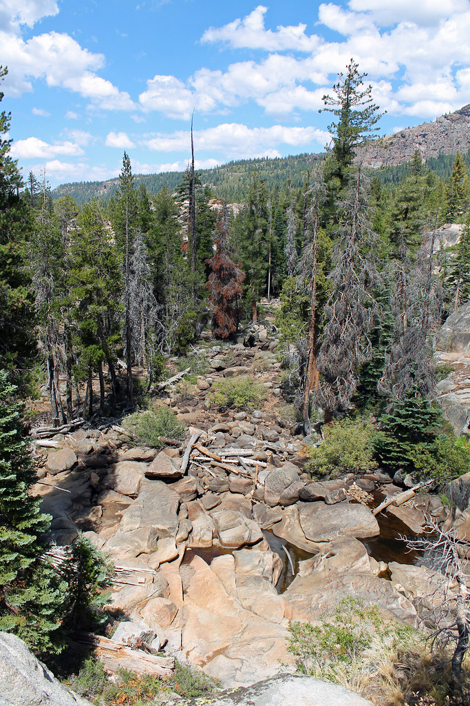 Photo: sarahstierch, Public Domain Dedication (CC0) (via Flickr)
East Silver Lake
Next door
East Silver Lake is a 1.37-mile out-and-back trail in California with 262 ft of elevation gain.
 Photo: Jim Morefield, CC BY-SA 2.0 (via Flickr)
Granite Lake
Next door
3.80-mile out-and-back trail to Granite Lake in California with 284 ft of elevation gain.
 Photo: RuggyBearLA, CC BY 2.0 (via Flickr)
Silver Lake-Horse Canyon Trail
~2 min drive
6.52-mile out-and-back trail in California with 2,527 ft elevation gain/loss.
HIKE
Munson Meadow Trail
~9 min drive
15.64-mile out-and-back hike in California with 4,172 ft elevation gain.
 Photo: ray_explores, CC BY 2.0 (via Flickr)
Shealor Lake
~2 min drive
0.94-mile out-and-back trail to Shealor Lake in California with 241 ft of elevation gain.
Photo: RuggyBearLA, CC BY 2.0 (via Flickr)THUNDER MOUNTAIN LOOP
~3 min drive
3.26-mile out-and-back trail in California with 1,526 ft elevation gain.
 Photo: Ken Lund, CC BY-SA 2.0 (via Flickr)
Thunder Mountain Loop
~5 min drive
9.51-mile out-and-back trail in California with 1,820 ft gain.
 Photo: ray_explores, CC BY 2.0 (via Flickr)
SHEALOR LAKE
~3 min drive
1.44-mile out-and-back trail to Shealor Lake in California with 778 ft gain
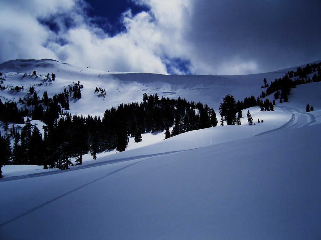 Photo: JLH PHOTO, CC BY 2.0 (via Flickr)
Carson Emigrant National Recreational Trail
~6 min drive
5.74-mile out-and-back trail in California with 2,349 ft elevation gain.
Photo: JLH PHOTO, CC BY 2.0 (via Flickr)Silver Lake-Horse Canyon Trail
~6 min drive
6.02-mile out-and-back trail in California with 2,915 ft elevation gain.


