Kirkwood Lake Cg
Campground
Campground · 0.9 mi from the trail
 Photo: Ken Lund, CC BY-SA 2.0 (via Flickr)
Alert in the area
The Forest Service lists 2 alerts for Eldorado National Forest.
Help Halt Golden Mussel Invasion
Agency alert covering Eldorado National Forest · USFS · Eldorado National Forest
Deer Valley Trail (19E01) & Meadow Lake Road (09N01)
Agency alert covering Eldorado National Forest · Order 03-24-05 · USFS · Eldorado National Forest
As of · Source: USFS · Eldorado National Forest. Agencies don't list every closure — check before you go.
Thunder Mountain Loop is a 9.5-mile out-and-back hike in California's Eldorado National Forest, within the Amador Ranger District. The route climbs from a low point of 7,963 feet to a high of 9,328 feet, a total gain of 1,453 feet, and is rated hard. The trail is managed by the Forest Service and is open year round. The natural-surface route allows both horses and bikes. That makes it a versatile option for riders and pack animals as well as hikers. The climb is a significant one. With 1,453 feet of elevation gain over nearly 10 miles, it is a long, steady ascent to the high point. Plan for a full day on the trail. Nearby, Kirkwood Lake Campground and Kirkwood Campground sit about a mile away, and Caples Creek offers canoeing just under a mile off. Climbers can head to Boulder Geek, about 1.9 miles away.
Kirkwood Lake Cg
Campground
Kirkwood Inn
Restaurant
Baldwin Home
Museum
Places © OpenStreetMap contributors
More in Bear ValleyNot on Roamze yet. Their page has how to reach them.
 Photo: RuggyBearLA, CC BY 2.0 (via Flickr)
Sentinels Trail
~2 min drive
2.18-mile out-and-back hike in California with 872 ft elevation gain and loss.
 Photo: RuggyBearLA, CC BY 2.0 (via Flickr)
THUNDER MOUNTAIN LOOP
~3 min drive
3.26-mile out-and-back trail in California with 1,526 ft elevation gain.
Photo: RuggyBearLA, CC BY 2.0 (via Flickr)Silver Lake-Horse Canyon Trail
~3 min drive
6.52-mile out-and-back trail in California with 2,527 ft elevation gain/loss.
Photo: RuggyBearLA, CC BY 2.0 (via Flickr)Castle Point Trail
~2 min drive
3.12-mile out-and-back trail in California with 993 ft gain and 8,038 ft max elevation.
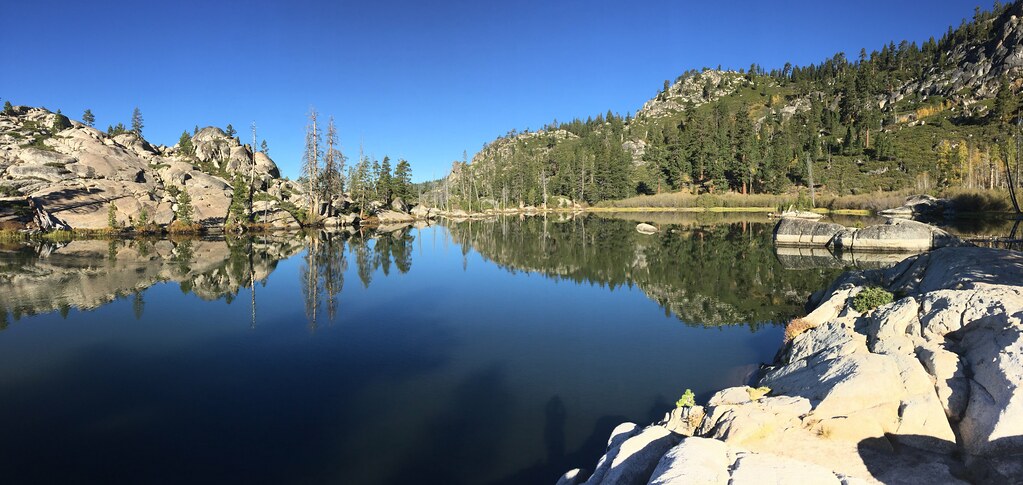 Photo: ray_explores, CC BY 2.0 (via Flickr)
Strawberry Creek
~3 min drive
3.40-mile out-and-back trail in California with 181 ft elevation gain.
 Photo: jfdervin, CC BY-SA 2.0 (via Flickr)
Picket Fence Trail
~7 min drive
12.16-mile out-and-back hike in California with 3,280 ft elevation gain and loss.
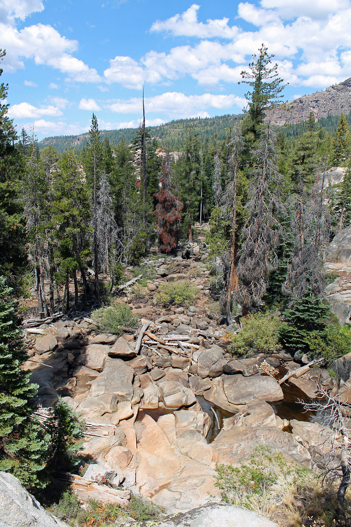 Photo: sarahstierch, Public Domain Dedication (CC0) (via Flickr)
East Silver Lake
~5 min drive
East Silver Lake is a 1.37-mile out-and-back trail in California with 262 ft of elevation gain.
 Photo: jfdervin, CC BY-SA 2.0 (via Flickr)
Little Round Top Trail
~5 min drive
6.0-mile out-and-back trail in California with 1,662 ft elevation gain/loss
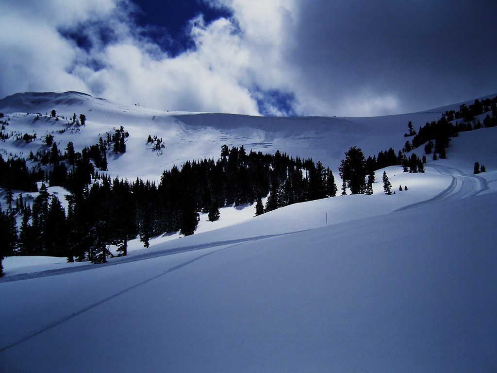 Photo: JLH PHOTO, CC BY 2.0 (via Flickr)
Silver Lake-Horse Canyon Trail
~9 min drive
6.02-mile out-and-back trail in California with 2,915 ft elevation gain.
Photo: jfdervin, CC BY-SA 2.0 (via Flickr)Schneider Corral
~5 min drive
0.98-mile out-and-back trail at Schneider Corral, California


