Three Sisters Trail
- 0.7 mi
- round trip
- 633 ft
- climb
- 617 ft
- high point
- Out and back
- route
- Jan–Dec
- best months
The Three Sisters Trail is an easy, out-and-back hike of about 1.4 miles in Three Sisters Preserve, which sits on regional agency land in California. The trail begins at roughly 617 feet and reaches a high point of about 617 feet on the way, so the entire route is nearly flat. The one-way climb is 137 feet, and the round trip adds up to about 633 feet of gain and loss. Spring and fall are the most comfortable times to go. Typical averages from a nearby weather station in Torrance run from highs around 70°F in April to 76°F in October, with only a couple of wet days in each of those months. That station sits well below the preserve, so temperatures up high run cooler. Several other trails start close by. The Sunshine Trail, Barkentine Trail and McCarrel Canyon Trail are each about 0.3 miles away, and the Bluff Top Trail is about 0.9 miles off.
- Sunshine TrailHiking0.3 mi
- Barkentine TrailHiking0.3 mi
- McCarrel Canyon TrailHiking0.3 mi
- Jack's Hat TrailHiking0.8 mi
- Palos Verdes PeninsulaRock climbing0.9 mi
 Bluff Top TrailHikingPhoto: eugene_o, CC BY 2.0 (via Flickr)0.9 mi
 Alta Vicente TrailHikingPhoto: eugene_o, CC BY 2.0 (via Flickr)1 mi
- Olmsted TrailHiking1.1 mi
Source: Roamze catalog (indexable pages within 10 miles, PostGIS distance)
- Bluff Top TrailHiking · ~2 min drivePhoto: eugene_o, CC BY 2.0 (via Flickr)
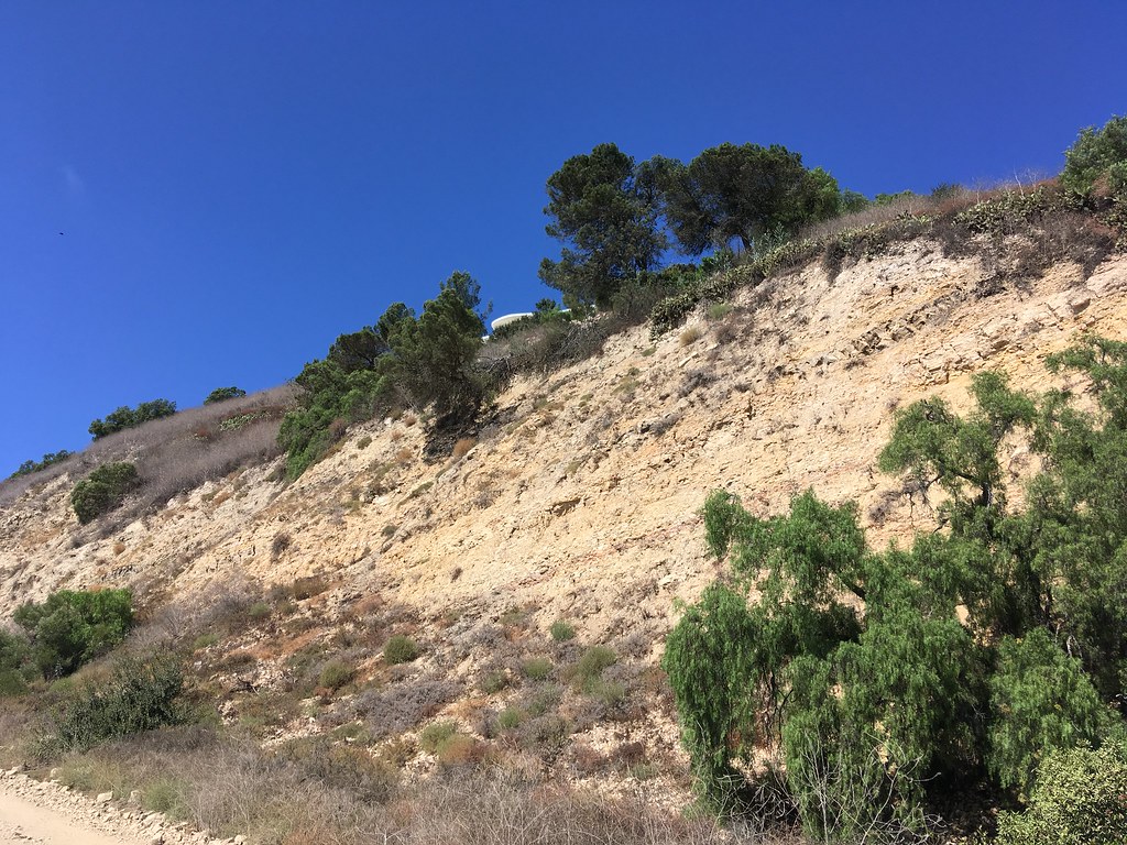 Quarterhorse TrailHiking · ~4 min drivePhoto: sergei.gussev, CC BY 2.0 (via Flickr)
- Alta Vicente TrailHiking · ~2 min drivePhoto: eugene_o, CC BY 2.0 (via Flickr)
 Apsley Trail. aka Palos Verdes Loop Trail Segments 74–77Hiking · ~5 min drivePhoto: sergei.gussev, CC BY 2.0 (via Flickr)
 Golden Cove TrailHiking · ~2 min drivePhoto: carlfbagge, CC BY 2.0 (via Flickr)
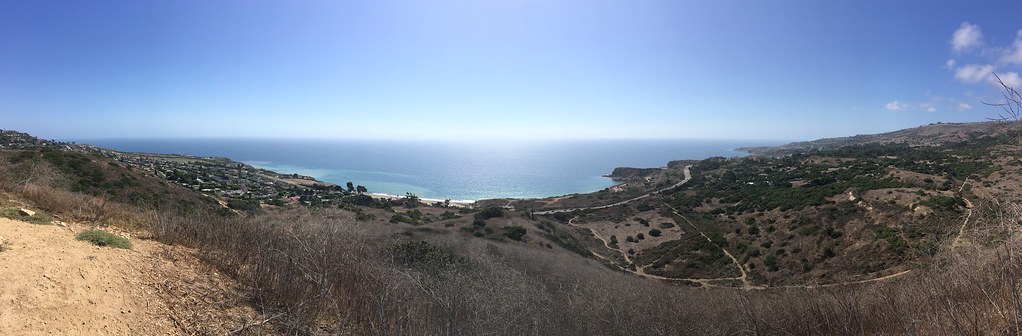 Eagle's Nest TrailHiking · ~3 min drivePhoto: sergei.gussev, CC BY 2.0 (via Flickr)
 Fire Station TrailHiking · ~3 min drivePhoto: sergei.gussev, CC BY 2.0 (via Flickr)
 Ishibashi TrailHiking · ~3 min drivePhoto: sergei.gussev, CC BY 2.0 (via Flickr)
- Barn Owl TrailHiking · ~3 min drivePhoto: sergei.gussev, CC BY 2.0 (via Flickr)
- Peppertree TrailHiking · ~3 min drivePhoto: sergei.gussev, CC BY 2.0 (via Flickr)
Best time to visit Three Sisters Trail
Best months: Year-round. Best months have typical highs of 55–85 °F, lows of 30 °F or warmer (32 °F where the station doesn't record snow), at most one snowy day and no more than 12 wet days.
Jan
67° / 47°
6 wet
Feb
66° / 48°
6 wet
Mar
68° / 50°
5 wet
Apr
70° / 52°
2 wet
May
72° / 55°
1 wet
Jun
74° / 58°
1 wet
Jul
77° / 62°
0 wet
Aug
78° / 62°
0 wet
Sep
78° / 61°
0 wet
Oct
76° / 57°
2 wet
Nov
71° / 51°
3 wet
Dec
66° / 46°
6 wet
Typical high / low (°F) and days with rain or snow, 1991–2020. Measured at Torrance Ap, CA, 4.6 mi away at 90 ft. The station sits about 500 ft lower than this place, so expect it a little cooler here. Source: NOAA NCEI U.S. Climate Normals 1991–2020.

Map and trail data © OpenStreetMap contributors
