Olmsted Trail
- 0.5 mi
- round trip
- 347 ft
- climb
- 208 ft
- high point
- Out and back
- route
- Jan–Dec
- best months
Clear today
Weather is good · OpenWeather · checked just now
Olmsted Trail is a short, easy out-and-back hike in California, about 0.2 miles from the community of Portuguese Bend. The route is roughly 0.9 miles long, with a total elevation gain of 347 feet, and it reaches a high point of 208 feet. The climb is steady, and the steepest stretch comes at about 0.35 miles in, with a grade of 14 percent. The most comfortable months for a visit are typically late spring through early fall. Typical averages from a nearby weather station in Torrance show highs around 72°F in May and 78°F in August, with almost no wet days from June through September. The hike takes about half an hour to complete. Several other trails sit within a mile, including Ishibashi Farm Trail, Vanderlip Trail and Barn Owl Trail. For climbing, the Palos Verdes Peninsula area is about 1.8 miles away.
- Ishibashi Farm TrailHiking0.6 mi
- Vanderlip TrailHiking0.7 mi
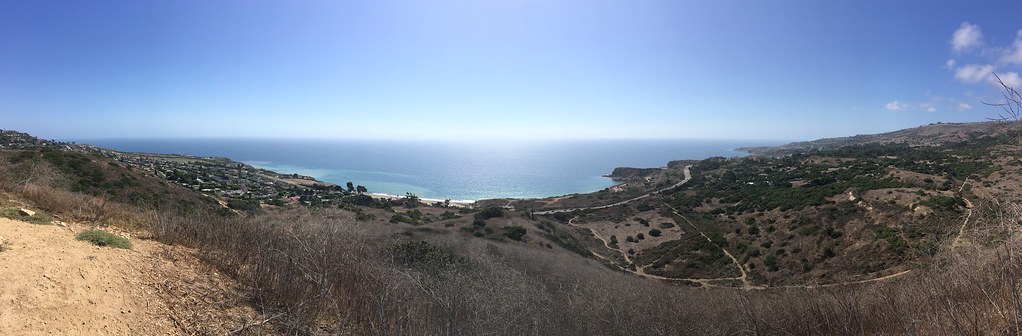 Barn Owl TrailHikingPhoto: sergei.gussev, CC BY 2.0 (via Flickr)0.8 mi
 Peppertree TrailHikingPhoto: sergei.gussev, CC BY 2.0 (via Flickr)0.8 mi
- Sunshine TrailHiking0.8 mi
- Burma Road TrailMountain biking0.9 mi
- Panorama TrailHikingPhoto: sergei.gussev, CC BY 2.0 (via Flickr)0.9 mi
- Palos Verdes PeninsulaRock climbing1.8 mi
Source: Roamze catalog (indexable pages within 10 miles, PostGIS distance)
- Barn Owl TrailHiking · ~1 min drivePhoto: sergei.gussev, CC BY 2.0 (via Flickr)
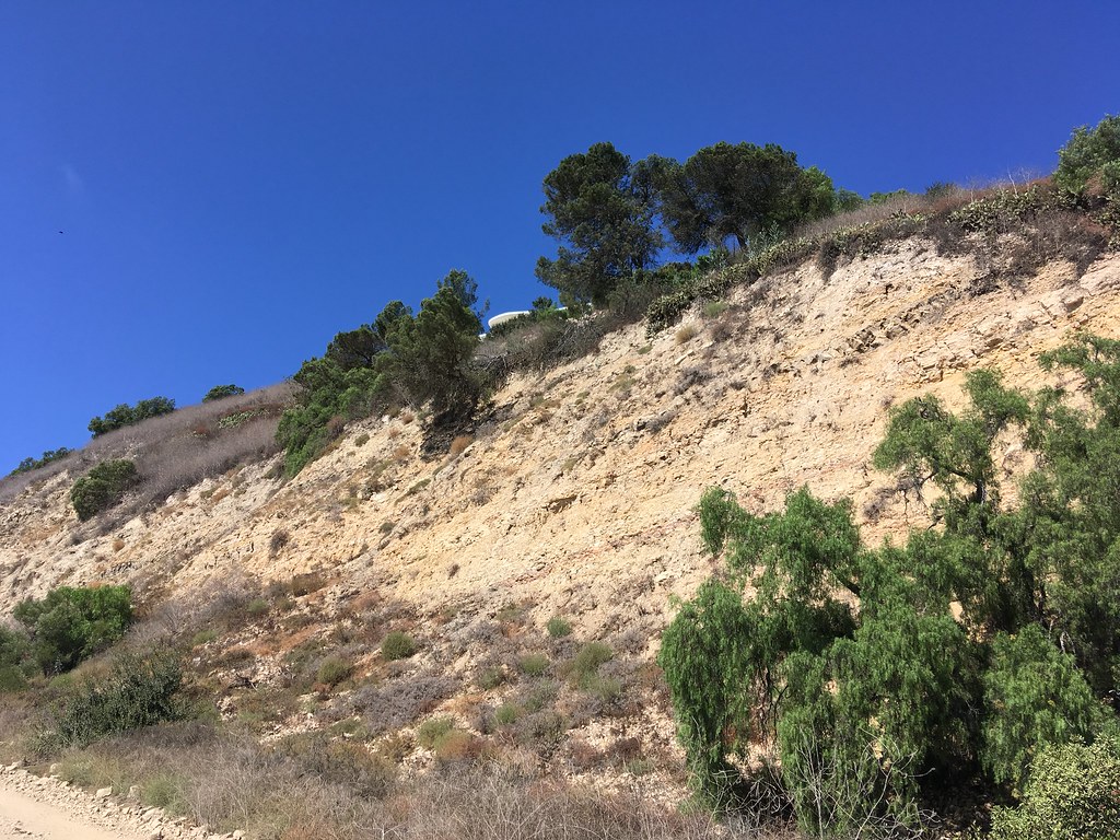 Quarterhorse TrailHiking · ~4 min drivePhoto: sergei.gussev, CC BY 2.0 (via Flickr)
- Peppertree TrailHiking · ~1 min drivePhoto: sergei.gussev, CC BY 2.0 (via Flickr)
 Apsley Trail. aka Palos Verdes Loop Trail Segments 74–77Hiking · ~7 min drivePhoto: sergei.gussev, CC BY 2.0 (via Flickr)
- Panorama TrailHiking · ~2 min drivePhoto: sergei.gussev, CC BY 2.0 (via Flickr)
- Shoreline Beach Pedestrian PathHiking · ~24 min drive
- Eagle's Nest TrailHiking · ~2 min drivePhoto: sergei.gussev, CC BY 2.0 (via Flickr)
 Paintbrush TrailHiking · ~2 min drivePhoto: sergei.gussev, CC BY 2.0 (via Flickr)
- Grapevine TrailHiking · ~2 min drivePhoto: sergei.gussev, CC BY 2.0 (via Flickr)
- Fire Station TrailHiking · ~2 min drivePhoto: sergei.gussev, CC BY 2.0 (via Flickr)
Best time to visit Olmsted Trail
Best months: Year-round. Best months have typical highs of 55–85 °F, lows of 30 °F or warmer (32 °F where the station doesn't record snow), at most one snowy day and no more than 12 wet days.
Jan
67° / 47°
6 wet
Feb
66° / 48°
6 wet
Mar
68° / 50°
5 wet
Apr
70° / 52°
2 wet
May
72° / 55°
1 wet
Jun
74° / 58°
1 wet
Jul
77° / 62°
0 wet
Aug
78° / 62°
0 wet
Sep
78° / 61°
0 wet
Oct
76° / 57°
2 wet
Nov
71° / 51°
3 wet
Dec
66° / 46°
6 wet
Typical high / low (°F) and days with rain or snow, 1991–2020. Measured at Torrance Ap, CA, 4.6 mi away at 90 ft. Source: NOAA NCEI U.S. Climate Normals 1991–2020.

Map and trail data © OpenStreetMap contributors
