Bluff Top Trail
 Photo: eugene_o, CC BY 2.0 (via Flickr)
- 0.4 mi
- round trip
- 192 ft
- climb
- 150 ft
- high point
- Out and back
- route
- Jan–Dec
- best months
Bluff Top Trail is a short, easy out-and-back hike in California, about a mile from Rancho Palos Verdes. The trail is 0.7 miles long, with a total elevation gain of 192 feet, and the high point sits at 150 feet. The climb is gentle, with the steepest stretch at about 0.28 miles in, where the grade reaches 9 percent. The most comfortable months for a visit are late spring through early fall. Typical averages from a nearby weather station in Torrance show highs around 72°F in May and 78°F in August and September, with almost no wet days from June through September. The hike takes about half an hour, so it works well as a quick stop before or after exploring the surrounding area. The Palos Verdes Peninsula climbing area is just 0.3 miles away, and the Alta Vicente Trail, Golden Cove Trail and Three Sisters Trail are all within a mile.
- Palos Verdes PeninsulaRock climbing0.3 mi
 Alta Vicente TrailHikingPhoto: eugene_o, CC BY 2.0 (via Flickr)0.5 mi
 Golden Cove TrailHikingPhoto: carlfbagge, CC BY 2.0 (via Flickr)0.7 mi
- Three Sisters TrailHiking0.9 mi
- Sunshine TrailHiking1.1 mi
- Barkentine TrailHiking1.2 mi
- McCarrel Canyon TrailHiking1.2 mi
- Olmsted TrailHiking1.7 mi
Source: Roamze catalog (indexable pages within 10 miles, PostGIS distance)
- Alta Vicente TrailHiking · Next doorPhoto: eugene_o, CC BY 2.0 (via Flickr)
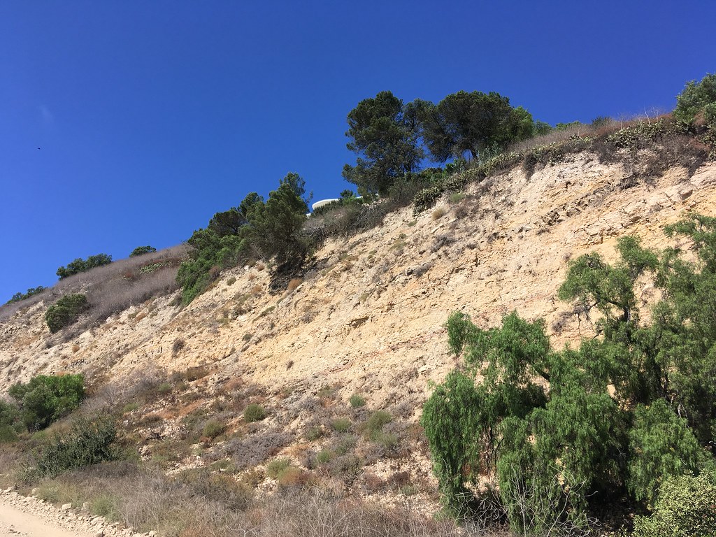 Quarterhorse TrailHiking · ~5 min drivePhoto: sergei.gussev, CC BY 2.0 (via Flickr)
- Golden Cove TrailHiking · ~1 min drivePhoto: carlfbagge, CC BY 2.0 (via Flickr)
 Apsley Trail. aka Palos Verdes Loop Trail Segments 74–77Hiking · ~6 min drivePhoto: sergei.gussev, CC BY 2.0 (via Flickr)
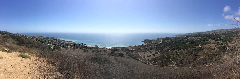 Barn Owl TrailHiking · ~4 min drivePhoto: sergei.gussev, CC BY 2.0 (via Flickr)
 Peppertree TrailHiking · ~4 min drivePhoto: sergei.gussev, CC BY 2.0 (via Flickr)
- Eagle's Nest TrailHiking · ~4 min drivePhoto: sergei.gussev, CC BY 2.0 (via Flickr)
- Panorama TrailHiking · ~4 min drivePhoto: sergei.gussev, CC BY 2.0 (via Flickr)
 Fire Station TrailHiking · ~4 min drivePhoto: sergei.gussev, CC BY 2.0 (via Flickr)
- Ishibashi TrailHiking · ~4 min drivePhoto: sergei.gussev, CC BY 2.0 (via Flickr)
Best time to visit Bluff Top Trail
Best months: Year-round. Best months have typical highs of 55–85 °F, lows of 30 °F or warmer (32 °F where the station doesn't record snow), at most one snowy day and no more than 12 wet days.
Jan
67° / 47°
6 wet
Feb
66° / 48°
6 wet
Mar
68° / 50°
5 wet
Apr
70° / 52°
2 wet
May
72° / 55°
1 wet
Jun
74° / 58°
1 wet
Jul
77° / 62°
0 wet
Aug
78° / 62°
0 wet
Sep
78° / 61°
0 wet
Oct
76° / 57°
2 wet
Nov
71° / 51°
3 wet
Dec
66° / 46°
6 wet
Typical high / low (°F) and days with rain or snow, 1991–2020. Measured at Torrance Ap, CA, 5.5 mi away at 90 ft. Source: NOAA NCEI U.S. Climate Normals 1991–2020.

Map and trail data © OpenStreetMap contributors
