Telephone Ridge
- 1.7 mi
- round trip
- 1,831 ft
- climb
- 7,511 ft
- high point
- Out and back
- route
Is TELEPHONE RIDGE open right now?
Closure in the area
There's a closure order in Sequoia National Forest. It doesn't name TELEPHONE RIDGE, so check the source for the area it covers (2 listed).
Tule River Glass Container Prohibition Area
Agency closure covering Sequoia National Forest · Order 0513-26-02 · USFS · Sequoia National Forest
Trail of 100 Giants Boardwalk and Area Closure
Agency closure covering Sequoia National Forest · Order 0513-26-03 · USFS · Sequoia National Forest
PUBLIC NUDITY PROHIBITION - Sequoia National Forest
Agency alert covering Sequoia National Forest · Order 0513-26-06 · USFS · Sequoia National Forest
Chico Flat Dispersed Camping Area Prohibition 26-27
Agency alert covering Sequoia National Forest · Order 0513-26-09 · USFS · Sequoia National Forest
Wildlife Alert - BEARS
Agency alert covering Sequoia National Forest · USFS · Sequoia National Forest
As of · Source: USFS · Sequoia National Forest. Agencies don't list every closure — check before you go.
Telephone Ridge is a moderate out-and-back hike in California's Sequoia National Forest, within the Kern River Ranger District. The route is 3.4 miles long and climbs about 1,830 feet from the trailhead, which sits at 5,684 feet, to the high point of 7,511 feet. The climb is front-loaded, with the steepest stretch coming around mile 1.2, where the grade reaches 44 percent. The trip is estimated to take about two hours. The Forest Service manages the surrounding land, and the hike makes an anchor for several other outings in the area. Poso Guard Station Cabin, about 1.8 miles away, offers a place to stay, and Bohna Ridge, Marshall Meadow and Sunday Peak are all within about 3 miles for more hiking.
- Poso Guard Station CabinCamping1.8 mi
- Bohna RidgeHiking2.3 mi
- Marshall MeadowHiking2.8 mi
- Sunday PeakHiking3 mi
- Cedar CreekCamping3.6 mi
- Leavis Flat CampgroundCamping7.1 mi
- New DirectionsRock climbing9.9 mi
- Middle CliffRock climbing9.9 mi
Source: Roamze catalog (indexable pages within 10 miles, PostGIS distance)
 Cattle RunHiking · ~5 min drivePhoto: USDAgov, Public Domain Mark (via Flickr)
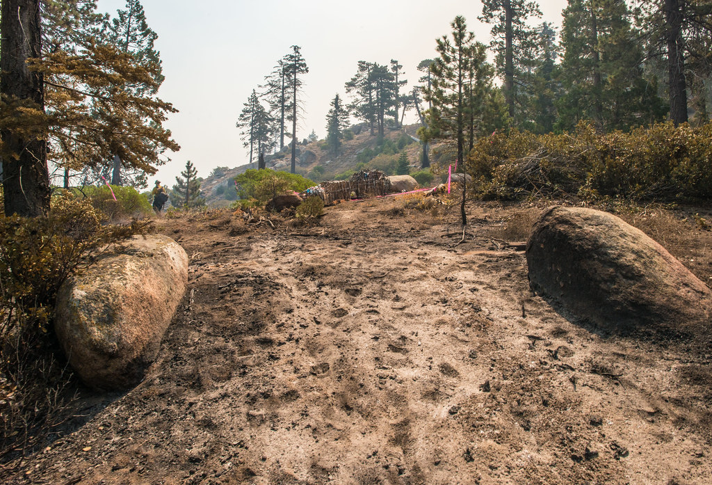 Black Mountain TrailHiking · ~10 min drivePhoto: USDAgov, Public Domain Mark (via Flickr)
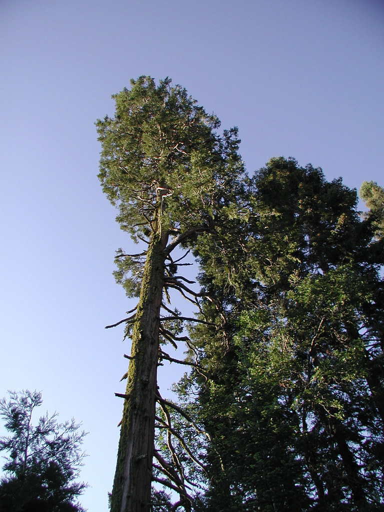 PowderhornHiking · ~18 min drivePhoto: selkovjr, CC BY 2.0 (via Flickr)
- BLACK MOUNTAIN SADDLEHiking · ~10 min drivePhoto: USDAgov, Public Domain Mark (via Flickr)
 Vista Del LagoHiking · ~20 min drivePhoto: bahniuk, CC BY 3.0 (via Wikimedia Commons)
 Flynn CanyonHiking · ~21 min drivePhoto: inkknife_2000 (7.5 million views +), CC BY-SA 2.0 (via Wikimedia Commons)
- Coso Mine LoopHiking · ~20 min drivePhoto: bahniuk, CC BY 3.0 (via Wikimedia Commons)
 RinconHiking · ~21 min drivePhoto: anon4809, Public Domain Dedication (CC0) (via Flickr)
 Tobias CreekHiking · ~21 min drivePhoto: inkknife_2000 (7.5 million views +), CC BY-SA 2.0 (via Wikimedia Commons)
- Sunday PeakHiking · ~5 min drive
