Barker
Campground
Campground · 2.8 mi from the trail
Closure in the area
There's a closure order in Lake Tahoe Basin Management Unit. It doesn't name Tahoe Rim Trail, so check the source for the area it covers.
Harmful Algal Blooms
Agency closure covering Lake Tahoe Basin Management Unit · USFS · Lake Tahoe Basin Management Unit
Desolation Wilderness Food and Refuse Storage (Bear Canister) Restriction
Agency alert covering Lake Tahoe Basin Management Unit · Order 19-25-06 · USFS · Lake Tahoe Basin Management Unit
Meyers Landfill Area Closure
Agency alert covering Lake Tahoe Basin Management Unit · Order 19-25-01 · USFS · Lake Tahoe Basin Management Unit
Campfire Restrictions
Agency alert covering Lake Tahoe Basin Management Unit · Order 19-24-04 · USFS · Lake Tahoe Basin Management Unit
Camping/Overnight Stay Restriction
Agency alert covering Lake Tahoe Basin Management Unit · Order 19-24-05 · USFS · Lake Tahoe Basin Management Unit
As of · Source: USFS · Lake Tahoe Basin Management Unit. Agencies don't list every closure — check before you go.
The Tahoe Rim Trail is a moderate out-and-back hike in California's Lake Tahoe Basin Management Unit, managed by the Forest Service. The route is about 8 miles long, with a total elevation gain of 2,244 feet, and it starts at roughly 8,483 feet. The high point on the trail reaches about 8,529 feet, and the steepest stretch comes within half a mile of the start, where the grade reaches about 51 percent. The trail is a back-loaded climb, with the most elevation gain coming in the second half of the route. The low point is around 6,760 feet, and the round trip ends at the same elevation as the start. Plan for about four hours on the trail. Stanford Rock Trail lies just 0.1 mile away, and Stanford Rock Summit Trail is about a mile off. Blackwood Creek, a canoeing spot, is about 1.7 miles away, and Kaspian Campground is about 3.2 miles away.
Barker
Campground
Places © OpenStreetMap contributors
More in Sunnyside-Tahoe CityNot on Roamze yet. Their page has how to reach them.
 Eagle RockRock climbingPhoto: Rojer, CC BY 2.0 (via Flickr)3.1 mi
 Kaspian CampgroundCampingPhoto: Recreation.gov (RIDB) / public domain3.2 mi
 William Kent CampgroundCampingPhoto: Recreation.gov (RIDB) / public domain3.8 mi
Source: Roamze catalog (indexable pages within 10 miles, PostGIS distance)
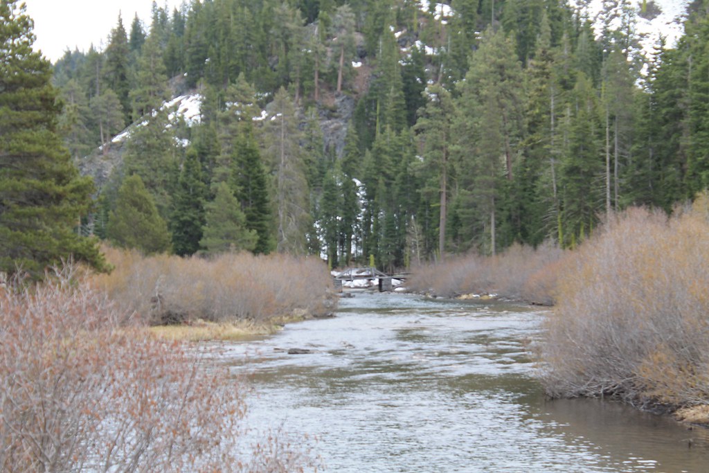 Tahoe Rim TrailHiking · ~5 min drivePhoto: Nouhailler, CC BY-SA 2.0 (via Flickr)
 Scott Peak TrailHiking · ~6 min drivePhoto: r0wb0t, CC BY-SA 2.0 (via Flickr)
 Historic Western States TrailHiking · ~8 min drivePhoto: schvin, CC BY 2.0 (via Flickr)Five Lakes CreekHiking · ~8 min drivePhoto: schvin, CC BY 2.0 (via Flickr)
 Cedar Ridge TrailHiking · ~6 min drivePhoto: jrtaylor08, CC BY-SA 3.0 (via Wikimedia Commons)Blackwood Creek TrailHiking · ~5 min drivePhoto: jrtaylor08, CC BY-SA 3.0 (via Wikimedia Commons)
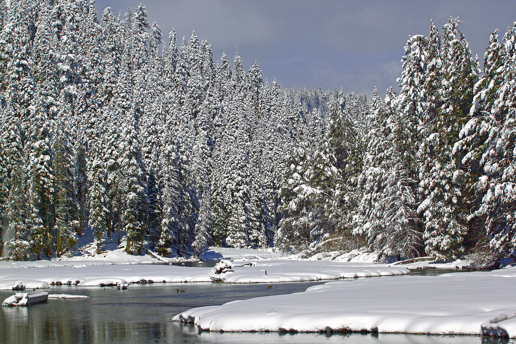 Tahoe Rim Trail (Glass Mountain)Hiking · ~8 min drivePhoto: gabepopa, CC BY 2.0 (via Flickr)
 Cedar Ridge TrailHiking · ~6 min drivePhoto: jrtaylor08, CC BY-SA 3.0 (via Wikimedia Commons)
 Five LakesHiking · ~8 min drivePhoto: bsterling, CC BY-SA 2.0 (via Flickr)
Map and trail data © OpenStreetMap contributors
