Whisky Creek Camp
Campground
Campground · 2.5 mi from the trail
 Photo: bsterling, CC BY-SA 2.0 (via Flickr)
Alert in the area
The Forest Service lists an alert for Tahoe National Forest.
Camping and Campfire Restrictions-Truckee and Sierraville Districts
Agency alert covering Tahoe National Forest · Order 17-25-05 · USFS · Tahoe National Forest
As of · Source: USFS · Tahoe National Forest. Agencies don't list every closure — check before you go.
Five Lakes is a 4-mile out-and-back hike in the Truckee Ranger District of Tahoe National Forest in California, with a total elevation gain of 1,027 feet. The trail starts at about 6,542 feet and climbs to a high point of about 7,582 feet. Summer is the most comfortable time to go. Typical averages from a nearby weather station in Tahoe City show July highs around 78°F with lows near 46°F and only about one wet day in the month. That station sits roughly 1,350 feet below the trail's high point, so temperatures up top run cooler. The route is rated moderate, and the natural-surface trail allows horses. It stays open year-round. Red Dog Ridge is about half a mile away, and Alpine Crags Road, a mountain biking route, is under a mile off. Climbers can head to Shirley Canyon Cliffs, about 2.3 miles away, and Silver Creek Campground is about 3.4 miles away.
Whisky Creek Camp
Campground
Places © OpenStreetMap contributors
More in Sunnyside-Tahoe CityNot on Roamze yet. Their page has how to reach them.
Best months: May–October. Best months have typical highs of 55–85 °F, lows of 30 °F or warmer (32 °F where the station doesn't record snow), at most one snowy day and no more than 12 wet days.
Jan
40° / 21°
11 wet · 7 snow
Feb
40° / 21°
10 wet · 7 snow
Mar
45° / 24°
10 wet · 7 snow
Apr
50° / 28°
8 wet · 4 snow
May
59° / 34°
7 wet · 1 snow
Jun
69° / 40°
3 wet
Jul
78° / 46°
1 wet
Aug
77° / 45°
2 wet
Sep
70° / 41°
2 wet
Oct
59° / 33°
4 wet · 1 snow
Nov
48° / 26°
7 wet · 3 snow
Dec
40° / 21°
10 wet · 6 snow
Typical high / low (°F) and days with rain or snow, 1991–2020. Measured at Tahoe City, CA, 4.7 mi away at 6,230 ft. The station sits about 1,400 ft lower than this place, so expect it a little cooler here. Source: NOAA NCEI U.S. Climate Normals 1991–2020.
 Photo: Ken Lund, CC BY-SA 2.0 (via Flickr)
Western States Trail
~2 min drive
2.78-mile out-and-back trail in California with 2,569 ft elevation gain
 Photo: Squaw Valley Lodge, CC BY-SA 2.0 (via Wikimedia Commons)
Western States Trail
~2 min drive
1.8-mile out-and-back trail in California with 882 ft elevation gain
Photo: Ken Lund, CC BY-SA 2.0 (via Flickr)Thunder Mountain
~2 min drive
1.02-mile out-and-back trail in California reaching 6,898 ft.
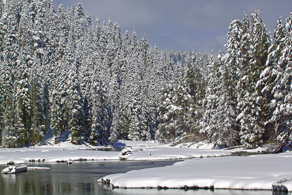 Photo: gabepopa, CC BY 2.0 (via Flickr)
Tahoe Rim Trail (Glass Mountain)
~4 min drive
9.82-mile out-and-back on the Tahoe Rim Trail with 2,463 ft gain and 7,669 ft max elevation.
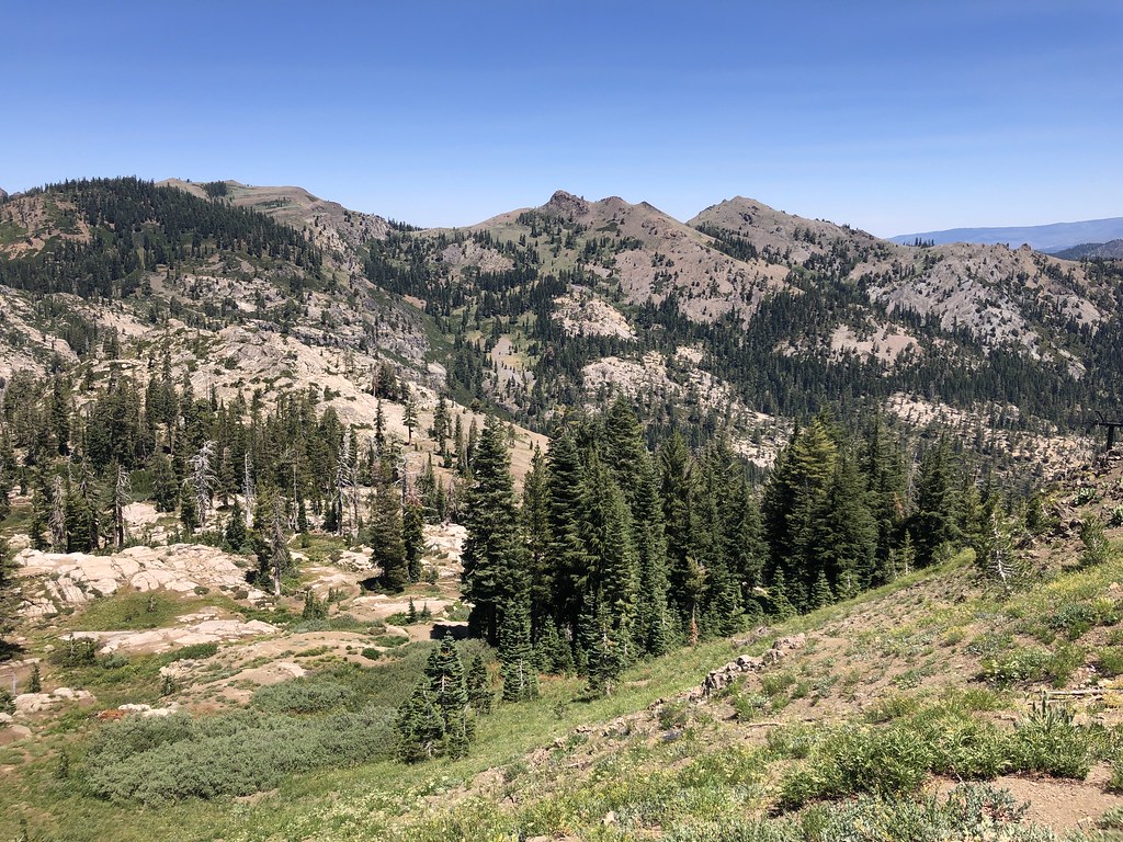 Photo: Ken Lund, CC BY-SA 2.0 (via Flickr)
Tevis Cup Trail
~5 min drive
9.28-mile out-and-back trail in California with 3,072 ft elevation gain and loss.
 Photo: r0wb0t, CC BY-SA 2.0 (via Flickr)
Scott Peak Trail
~3 min drive
1.64-mile out-and-back hike in California with 918 ft gain and 8,254 ft max elevation.
 Photo: bsterling, CC BY-SA 2.0 (via Flickr)
Squaw Saddle Trail
~3 min drive
1.20-mile out-and-back trail in California with 347 ft of elevation gain.
 Photo: schvin, CC BY 2.0 (via Flickr)
Historic Western States Trail
~4 min drive
18.08-mile out-and-back trail in California with 3,790 ft elevation gain
 Photo: mangtronix, CC BY-SA 2.0 (via Flickr)
POLE CREEK NORDIC
~7 min drive
9.9-mile out-and-back trail in California with 2,810 ft elevation gain.
Photo: gabepopa, CC BY 2.0 (via Flickr)Tahoe Rim Trail
~4 min drive
3.24-mile out-and-back on Tahoe Rim Trail with 1,082 ft gain/loss


