Boca Springs
Campground
Campground · 2.5 mi from the trail
Tahoe-Pyramid Trail is an easy out-and-back hike of about 2.5 miles on the Truckee River Wildlife Area in California, managed by State Fish and Wildlife. The trail starts at roughly 5,208 feet and reaches a high point of about 5,298 feet, with a total climb of about 699 feet for the round trip. The route is steady, and the steepest stretch comes at about half a mile in, with an 8% grade. Summer is the most comfortable time to go. Typical averages from a nearby weather station at Boca show July highs around 86°F and lows near 39°F, with only a few wet days a month. Winter brings highs in the mid-40s and regular snow days from December through February. Boca Springs and Boca Spring campgrounds are both about 2.5 miles away, and the River Rock climbing area is about 2.6 miles off. The Boca Townsite Trail is about 3.9 miles away.
Boca Springs
Campground
Glenshire Pizza Company
Restaurant
Museum of Truckee History
Museum
Places © OpenStreetMap contributors
More in Sunnyside-Tahoe CityNot on Roamze yet. Their page has how to reach them.
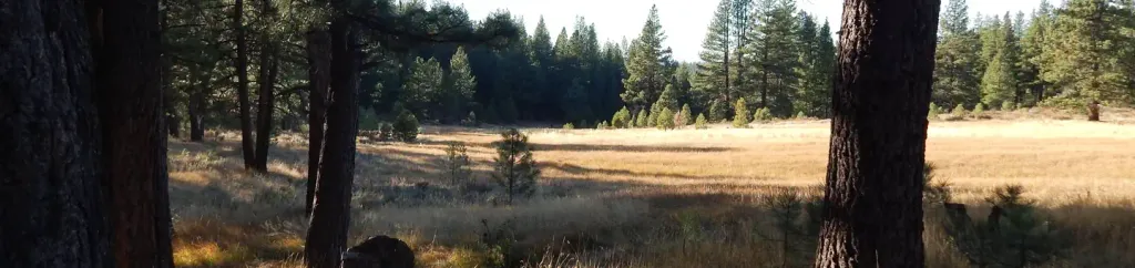 Boca SpringCampingPhoto: Recreation.gov (RIDB) / public domain2.6 mi
 LITTLE BOCA LOOPHikingPhoto: simonov, CC BY-SA 2.0 (via Flickr)4.7 mi
Source: Roamze catalog (indexable pages within 10 miles, PostGIS distance)
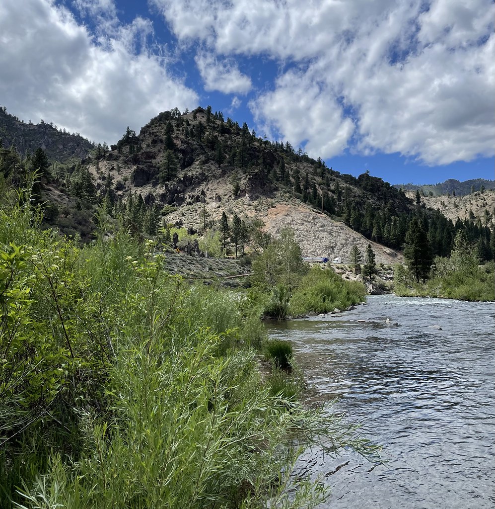 Tahoe-Pyramid TrailHiking · Next doorPhoto: Seth Tisue, CC BY-SA 2.0 (via Flickr)
 LLOYD'S TRAILHiking · ~11 min drivePhoto: Michael Gordon, CC BY 3.0 (via Wikimedia Commons)
 Rim to RenoHiking · ~11 min drivePhoto: Ken Lund from Reno, Nevada, USA, CC BY-SA 2.0 (via Wikimedia Commons)
 Tahoe-Pyramid TrailHiking · ~3 min drivePhoto: On^ste82, CC BY 3.0 (via Wikimedia Commons)
 Belli Front TrailHiking · ~14 min drivePhoto: theforestprimeval, CC BY-SA 2.0 (via Flickr)
 Thomas CreekHiking · ~13 min drivePhoto: simonov, CC BY-SA 2.0 (via Flickr)Tahoe-Pyramid TrailHiking · ~5 min drivePhoto: On^ste82, CC BY 3.0 (via Wikimedia Commons)LITTLE BOCA LOOPHiking · ~8 min drivePhoto: simonov, CC BY-SA 2.0 (via Flickr)
Best months: May–June and August–September. Best months have typical highs of 55–85 °F, lows of 30 °F or warmer (32 °F where the station doesn't record snow), at most one snowy day and no more than 12 wet days.
Jan
44° / 13°
9 wet · 5 snow
Feb
46° / 15°
8 wet · 5 snow
Mar
52° / 21°
9 wet · 5 snow
Apr
58° / 25°
7 wet · 3 snow
May
67° / 31°
7 wet · 1 snow
Jun
77° / 35°
4 wet
Jul
86° / 39°
3 wet
Aug
85° / 37°
2 wet
Sep
79° / 31°
2 wet
Oct
67° / 25°
4 wet · 1 snow
Nov
54° / 20°
6 wet · 2 snow
Dec
43° / 15°
9 wet · 5 snow
Typical high / low (°F) and days with rain or snow, 1991–2020. Measured at Boca, CA, 3.9 mi away at 5,575 ft. Source: NOAA NCEI U.S. Climate Normals 1991–2020.
Map and trail data © OpenStreetMap contributors
