Swift Creek Trail
- 8.7 mi
- round trip
- 3,356 ft
- climb
- 6,835 ft
- high point
- Out and back
- route
Is Swift Creek Trail open right now?
Closure in the area
There's a closure order in Shasta-Trinity National Forest. It doesn't name Swift Creek Trail, so check the source for the area it covers (2 listed).
Mud and Ash Creek Area and Road Closure
Agency closure covering Shasta-Trinity National Forest · Order 14-26-13 · USFS · Shasta-Trinity National Forest
Road Closure on Wild Mad Road
Agency closure covering Shasta-Trinity National Forest · Order 14-25-09 · USFS · Shasta-Trinity National Forest
Trout Creek Bridge Closure Order
Agency alert covering Shasta-Trinity National Forest · Order 14-26-02 · USFS · Shasta-Trinity National Forest
South Fork Suspension Bridge Closure
Agency alert covering Shasta-Trinity National Forest · Order 14-25-30 · USFS · Shasta-Trinity National Forest
Ah-Di-Na Area Closure
Agency alert covering Shasta-Trinity National Forest · Order 14-25-10 · USFS · Shasta-Trinity National Forest
As of · Source: USFS · Shasta-Trinity National Forest. Agencies don't list every closure — check before you go.
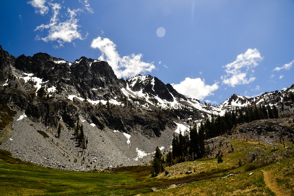
Swift Creek Trail is an expert-level out-and-back hike in the Trinity Alps Wilderness, part of the Weaverville Ranger District of Shasta-Trinity National Forest in northern California. The Forest Service manages the land, and the trail's route lies within designated wilderness. The trail is 17.3 miles long, with a total elevation gain of 3,356 feet. It starts at about 4,065 feet and climbs to a high point of 6,835 feet. The climb is front-loaded, and the steepest stretch comes at about 7.2 miles in, with a grade of 32 percent. That makes the first half of the route the most demanding, and the second half a long descent back to the start. Swift Creek, a canoeing spot, sits about 0.6 miles away. Granite Lake and Deer Flat are both within about 2 miles, and Preacher Meadow Campground is about 3.8 miles off.
- Swift CreekCanoeing0.6 mi
 Granite LakeHikingPhoto: ilya_ktsn, CC BY 2.0 (via Flickr)1 mi
- Trinity Unit - National Recreation AreaLake fishing1.7 mi
- Deer FlatHiking2.1 mi
- Bear BasinHiking2.9 mi
- Preacher Meadow Cg-FCamping3.8 mi
- Alpine View Cg-FCamping6.3 mi
- Trinity AlpsRock climbing8.8 mi
Source: Roamze catalog (indexable pages within 10 miles, PostGIS distance)
- Granite LakeHiking · ~2 min drivePhoto: ilya_ktsn, CC BY 2.0 (via Flickr)
 Seven Up PeakHiking · ~8 min drivePhoto: ilya_ktsn, CC BY 2.0 (via Flickr)
 Sunrise CreekHiking · ~9 min drivePhoto: ilya_ktsn, CC BY 2.0 (via Flickr)
- Long CanyonHiking · ~6 min drive
 Mumford Basin Trail (Not Maintained)Hiking · ~8 min drivePhoto: ilya_ktsn, CC BY 2.0 (via Flickr)
 Siligo Spur Trail (09W21A)Hiking · ~9 min drivePhoto: ilya_ktsn, CC BY 2.0 (via Flickr)
 Ward LakeHiking · ~10 min drivePhoto: ilya_ktsn, CC BY 2.0 (via Flickr)
- GRANITE PEAKHiking · ~11 min drive
- Landers LakeHiking · ~8 min drivePhoto: ilya_ktsn, CC BY 2.0 (via Flickr)
 Cow Camp SpurHiking · ~9 min drivePhoto: ilya_ktsn, CC BY 2.0 (via Flickr)

