Loading…

Free — you'll pick up right here.
Watch this trail
Sign up to watch it — saving subscribes you to gate, closure and report changes.
California
0.2 mi
Distance
1 ft
Gain
We won't guess. Here is exactly what we do and don't know.
What we do know
Inside Angeles National Forest
2 managing-area boundaries mapped — agency alerts for them feed this page automatically.
Boundary data
What's missing
No access route mapped
We don't yet know which road reaches this trailhead, so we can't tell you if it's gated.
Nobody's filed a report here yet — be the first.
Why you'll love it
Sunset Ridge
AI-suggested draft · review before you go
No permit or access details on file for this trail — check with the local land manager before you go.
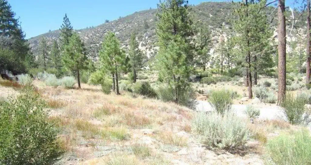
Sunset Ridge is a short and accessible trail perfect for families and casual hikers looking for a quick outdoor experience. With minimal elevation gain and a brief distance, this trail offers an easy way to enjoy California's natural scenery without requiring significant fitness or time commitment.
Sunset Ridge Lower
~0 min drive
Short ridge trail with steady elevation gain and scenic views.
Dawn Mine Trail
~2 min drive
Moderate 4.2-mile hike with 1,673 ft gain to historic mine site.
Bear Canyon
~3 min drive
Moderate 9-mile canyon hike with 1,075 ft elevation gain.
Echo Mtn
~2 min drive
Steep 1.71-mile climb to Echo Mountain with panoramic views.
Sam Merrill (Middle)
~2 min drive
Moderate San Gabriel Mountains climb with steady elevation gain and basin views.
Hoyt Mt. to Pines Picnic Trail
~7 min drive
Easy 1.3-mile connector trail through forest to scenic picnic area.
Mt Lowe (West)
~4 min drive
Steep 2.56-mile climb to Mt Lowe with 1,412 ft elevation gain.
Castle Canyon
~2 min drive
Steep canyon trail with 1,886 ft gain and scenic rock formations.
Colby Canyon
~8 min drive
Moderate 8.79-mile canyon hike with 2,742 ft elevation gain.
Trees for Tomorrow
~6 min drive
Short forest walk with steady elevation gain and accessible tree-focused scenery.