Mt. Lowe
Campground
Campground · 1.1 mi from the trail
 Photo: mjhbower, CC BY-SA 2.0 (via Flickr)
Alert in the area
The Forest Service lists 7 alerts for Angeles National Forest.
Rincon-Redbox Road (2N24) Closure
Agency alert covering Angeles National Forest · Order 05-01-26-13 · USFS · Angeles National Forest
Fire Danger Level Elevated to "Very High"
Agency alert covering Angeles National Forest · USFS · Angeles National Forest
San Gabriel Canyon OHV Area Prohibitions
Agency alert covering Angeles National Forest · Order 05-01-26-09 · USFS · Angeles National Forest
San Dimas Experimental Forest Closure
Agency alert covering Angeles National Forest · USFS · Angeles National Forest
Eaton Fire Area Closure
Agency alert covering Angeles National Forest · Order 05-01-26-04 · USFS · Angeles National Forest
As of · Source: USFS · Angeles National Forest. Agencies don't list every closure — check before you go.
Echo Mtn is a short, easy out-and-back hike in the Los Angeles Gateway Ranger District of Angeles National Forest, managed by the Forest Service. The trail is about 1.7 miles long, with a one-way elevation gain of 289 feet, taking you from a low point of about 3,191 feet to a high of about 3,480 feet. The route is on natural surface, and both horses and bikes are allowed. It stays open year-round, so you can plan a visit any time of the year. The Dawn Mine Trail starts just 0.2 miles away, and the Sam Merrill (Middle) trail is about half a mile off. For an overnight stay, Mt. Lowe and Millard campgrounds are each about 1.1 miles away.
Mt. Lowe
Campground
Miya
Restaurant
 If it rainsBoothsift, CC BY-SA 4.0 · Wikimedia Commons
Places © OpenStreetMap contributors · Photos: Boothsift, CC BY-SA 4.0 (commons)
More in ActonDawn Mine TrailHikingPhoto: mjhbower, CC BY-SA 2.0 (via Flickr)0.2 mi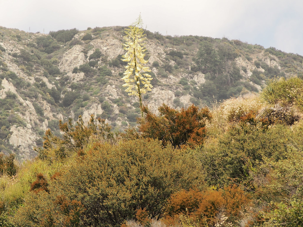 Sam Merrill (Middle)HikingPhoto: JingKe888, CC BY 2.0 (via Flickr)0.5 mi
 Big Tujunga CreekCanoeingPhoto: MajaTrochimczyk, CC BY 3.0 us (via Wikimedia Commons)7.3 mi
 West Fork San Gabriel RiverCanoeingPhoto: Eeekster, CC BY 3.0 (via Wikimedia Commons)9.4 mi
Source: Roamze catalog (indexable pages within 10 miles, PostGIS distance)
Dawn Mine TrailHiking · Next doorPhoto: mjhbower, CC BY-SA 2.0 (via Flickr)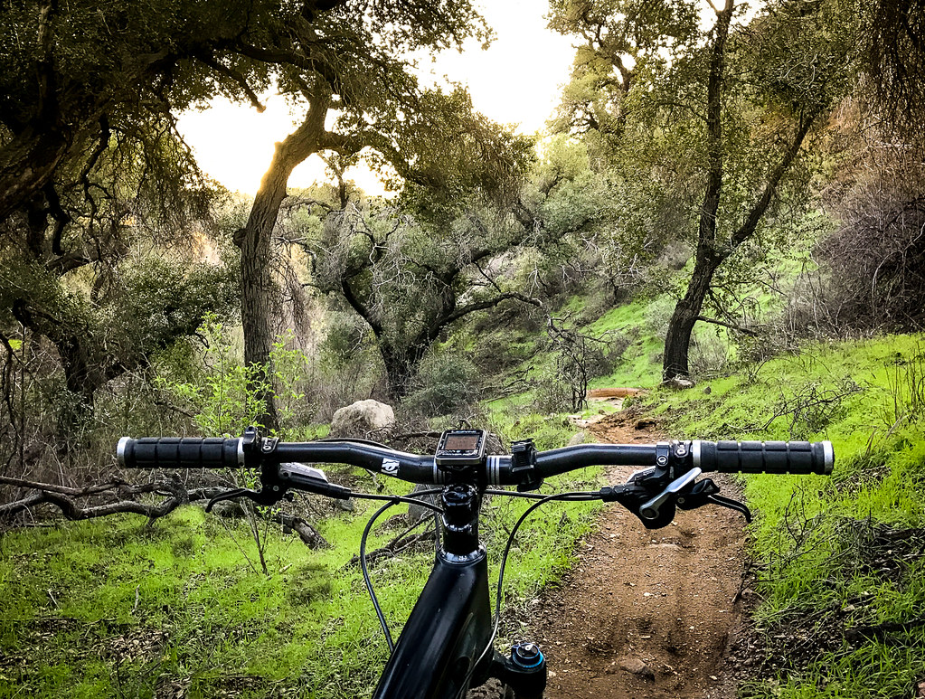 Sunset Ridge TrailHiking · ~1 min drivePhoto: Perfect Zero, CC BY 2.0 (via Flickr)
 Old Echo Montain TrailHiking · ~1 min drivePhoto: Brück & Sohn Kunstverlag Meißen, CC0 (via Wikimedia Commons)
 Idlehour TrailHiking · ~2 min drivePhoto: mjhbower, CC BY-SA 2.0 (via Flickr)Sam Merrill (Middle)Hiking · Next doorPhoto: JingKe888, CC BY 2.0 (via Flickr)
 Altadena Crest TrailHiking · ~4 min drivePhoto: USMARINE0311 from California, United States, CC BY-SA 2.0 (via Wikimedia Commons)Old Echo Mountain TrailHiking · ~1 min drivePhoto: Brück & Sohn Kunstverlag Meißen, CC0 (via Wikimedia Commons)Castle CanyonHiking · Next doorPhoto: JingKe888, CC BY 2.0 (via Flickr)
 El Prieto TrailHiking · ~4 min drivePhoto: feverblue, CC BY-SA 2.0 (via Flickr)Millard Falls TrailHiking · ~2 min drivePhoto: Perfect Zero, CC BY 2.0 (via Flickr)
Also worth it near here
 Mount Lowe MotorwayMountain biking · ~1 min drivePhoto: Crishazzard, CC BY-SA 4.0 (via Wikimedia Commons)
 Mount LoweSummit · ~3 min drivePhoto: The original uploader was Magi Media at English Wikipedia., CC BY-SA 3.0 (via Wikimedia Commons)
