Subway Cave Interpretive Trail
 Photo: BoltSnypr, CC BY 3.0 (via Wikimedia Commons)
- 1.1 mi
- round trip
- 11 ft
- climb
- 4,358 ft
- high point
- Out and back
- route
- May–Oct
- best months
Is Subway Cave Interpretive Trail open right now?
Closure in the area
There's a closure order in Lassen National Forest. It doesn't name Subway Cave Interpretive Trail, so check the source for the area it covers (3 listed).
Harmful Algal Blooms
Agency closure covering Lassen National Forest · USFS · Lassen National Forest
Forest Road Closure Order
Agency closure covering Lassen National Forest · Order 06-26-01 · USFS · Lassen National Forest
SAFETY ALERT - South Antelope Bridge out, Do Not Cross
Agency closure covering Lassen National Forest · USFS · Lassen National Forest
As of · Source: USFS · Lassen National Forest. Agencies don't list every closure — check before you go.
Subway Cave Interpretive Trail is a short, easy loop in the Hat Creek Ranger District of Lassen National Forest, about a mile from the town of Old Station, California. The trail is managed by the Forest Service and is about 1.1 miles long, with a total elevation gain of just 11 feet. It's a low-commitment outing, and the route stays within a few dozen feet of its low point of about 4,334 feet. The trail is natural-surfaced and allows bikes. It is not an accessible trail, so plan for that if you need a route that works with mobility aids. Summer is the most comfortable time to go. Typical averages from the nearby Manzanita Lake weather station show July highs around 79°F with lows near 46°F, while winter highs there sit in the low 40s. That station sits about 1,400 feet higher than the trail, so temperatures on the trail run a little warmer. Cave Campground is just 0.2 miles away, and Hat Creek campground is about 1.8 miles off. For more hiking, the Parham's Point Trail and Spattercone Crest Trail are both within about 2 miles.
- Cave CampgroundCamping0.2 mi
 PARHAM'S POINT TRAILHikingPhoto: BoltSnypr, CC BY 3.0 (via Wikimedia Commons)1.5 mi
 Spattercone Crest TrailHikingPhoto: BoltSnypr, CC BY 3.0 (via Wikimedia Commons)1.7 mi
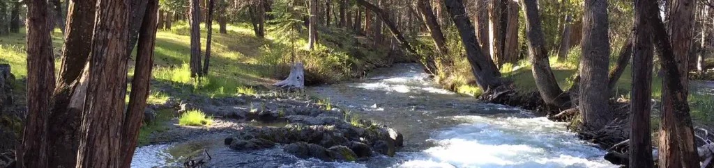 Hat CreekCampingPhoto: Recreation.gov (RIDB) / public domain1.8 mi
- Potato Butte 6Hiking2.2 mi
- Plum ValleyRock climbing2.7 mi
- RockyCamping2.9 mi
 Hat Creek Fisherman's TrailHikingPhoto: BoltSnypr, CC BY 3.0 (via Wikimedia Commons)3.2 mi
Source: Roamze catalog (indexable pages within 10 miles, PostGIS distance)
- PARHAM'S POINT TRAILHiking · ~3 min drivePhoto: BoltSnypr, CC BY 3.0 (via Wikimedia Commons)
- Spattercone Crest TrailHiking · ~3 min drivePhoto: BoltSnypr, CC BY 3.0 (via Wikimedia Commons)
- Hat Creek Fisherman's TrailHiking · ~5 min drivePhoto: BoltSnypr, CC BY 3.0 (via Wikimedia Commons)
 Butte Lake TrailHiking · ~18 min drivePhoto: Vlad & Marina Butsky on Flickr, CC BY 2.0 (via Wikimedia Commons)
- Sunflower FlatHiking · ~18 min drive
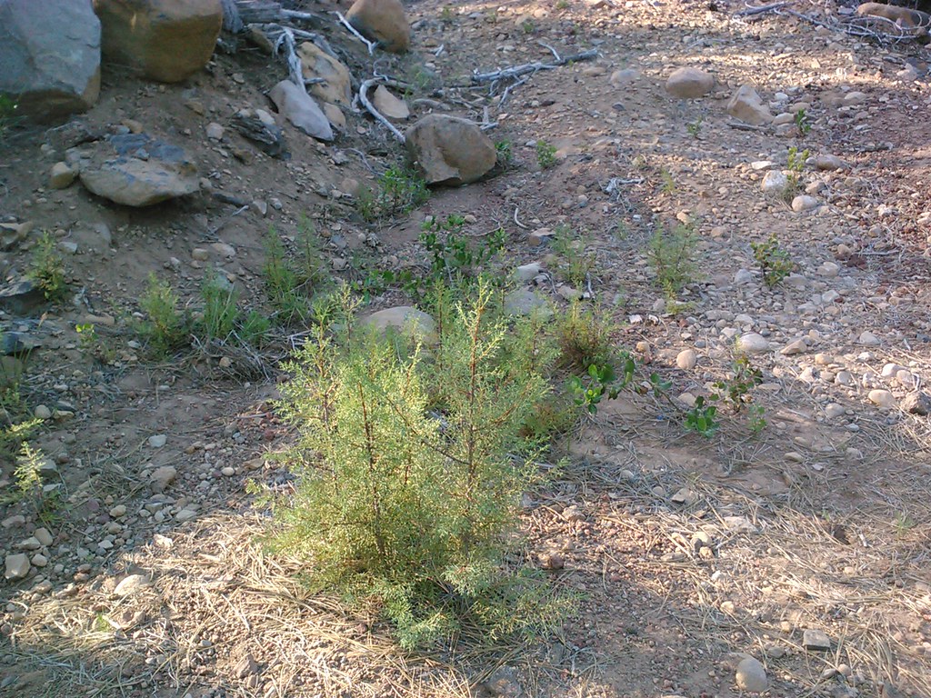 CypressHiking · ~18 min drivePhoto: theforestprimeval, CC BY-SA 2.0 (via Flickr)
- Cinder Cone TrailHiking · ~18 min drive
- Butte Lake To Snag Lake TrailHiking · ~20 min drivePhoto: Vlad & Marina Butsky on Flickr, CC BY 2.0 (via Wikimedia Commons)
 NORTH BATTLE CREEKHiking · ~20 min drivePhoto: Brück & Sohn Kunstverlag Meißen, CC0 (via Wikimedia Commons)
- Potato Butte 6Hiking · ~4 min drive
Best time to visit Subway Cave Interpretive Trail
Best months: May–October. Best months have typical highs of 55–85 °F, lows of 30 °F or warmer (32 °F where the station doesn't record snow), at most one snowy day and no more than 12 wet days.
Jan
41° / 22°
Feb
42° / 22°
Mar
46° / 24°
Apr
50° / 27°
May
61° / 35°
Jun
70° / 41°
Jul
79° / 46°
Aug
78° / 45°
Sep
72° / 41°
Oct
59° / 33°
Nov
47° / 26°
Dec
39° / 22°
Typical high / low (°F) and days with rain or snow, 1991–2020. Measured at Manzanita Lake, CA, 12.9 mi away at 5,750 ft. The station sits about 1,400 ft higher than this place, so expect it a little warmer here. This station doesn't record snowfall. Source: NOAA NCEI U.S. Climate Normals 1991–2020.

