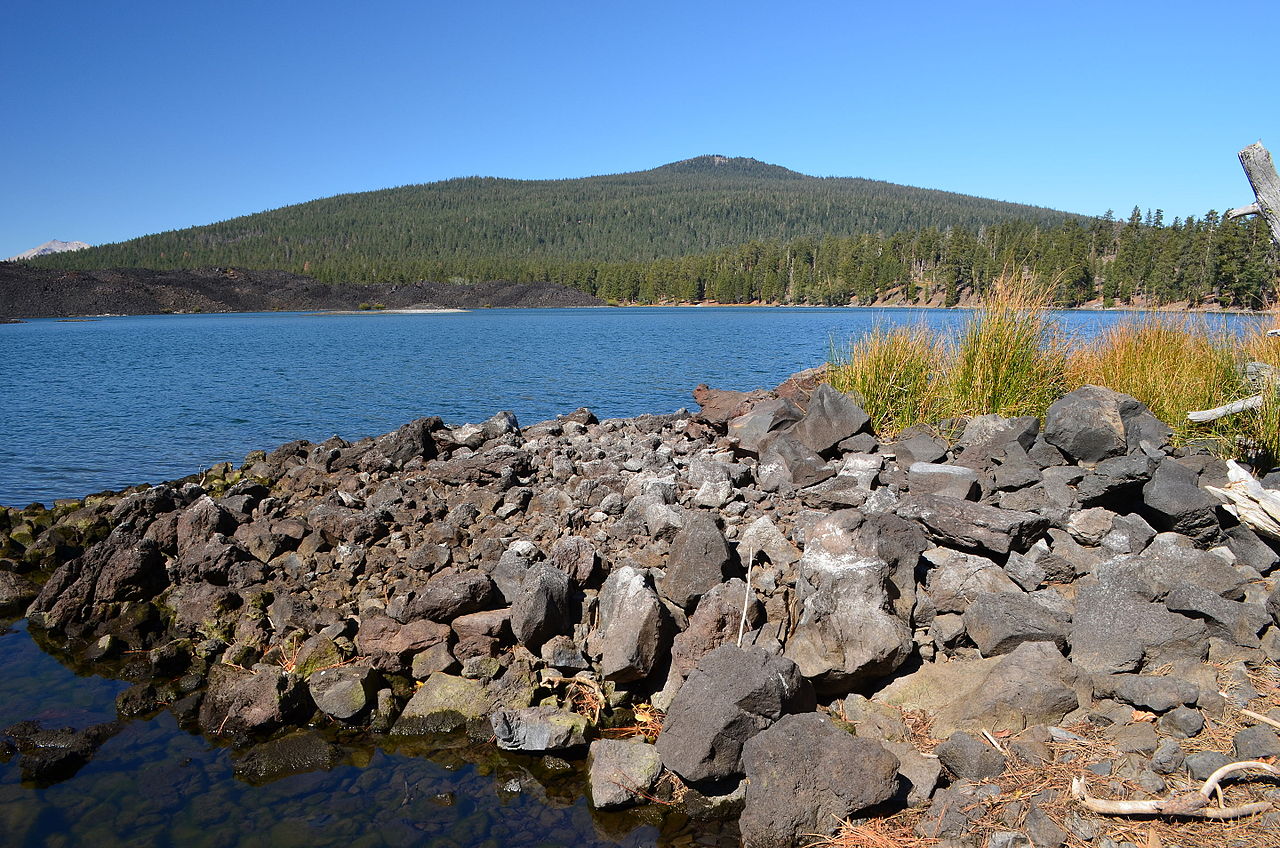
Plum Valley
Plum Valley in California has 12 bouldering routes across 8 difficulty grades.
- 12 routes
- V1 – V8-
- Bouldering
Is Plum Valley open right now?
Closure in the area
There's a closure order in Lassen National Forest. It doesn't name Plum Valley, so check the source for the area it covers (2 listed).
Forest Road Closure Order
Agency closure covering Lassen National Forest · Order 06-26-01 · USFS · Lassen National Forest
SAFETY ALERT - South Antelope Bridge out, Do Not Cross
Agency closure covering Lassen National Forest · USFS · Lassen National Forest
As of · Source: USFS · Lassen National Forest. Agencies don't list every closure — check before you go.
Best time to visit Plum Valley
Best months: May–October. Best months have typical highs of 55–85 °F, lows of 30 °F or warmer (32 °F where the station doesn't record snow), at most one snowy day and no more than 12 wet days.
Jan
41° / 22°
Feb
42° / 22°
Mar
46° / 24°
Apr
50° / 27°
May
61° / 35°
Jun
70° / 41°
Jul
79° / 46°
Aug
78° / 45°
Sep
72° / 41°
Oct
59° / 33°
Nov
47° / 26°
Dec
39° / 22°
Typical high / low (°F) and days with rain or snow, 1991–2020. Measured at Manzanita Lake, CA, 15.6 mi away at 5,750 ft. The station sits about 1,000 ft higher than this place, so expect it a little warmer here. This station doesn't record snowfall. Source: NOAA NCEI U.S. Climate Normals 1991–2020.
Plum Valley is a climbing area in the Hat Creek Ranger District of Lassen National Forest in California, managed by the Forest Service. It sits within the district's network of trails and campgrounds, and several of the closest places are within a few miles. Summer is the most comfortable time to visit. Typical averages from the nearby Manzanita Lake weather station, which sits about 1,000 feet lower, show July highs around 79°F with lows near 46°F, while winter highs stay in the low 40s. Parham's Point Trail is about 1.3 miles away, and the Rocky campground is about 1.7 miles off. The Hat Creek Fisherman's Trail and Bridge campground are both within about 2.4 miles.
Keep exploring — more climbs worth the drive
 Photo: randomduck, CC BY-SA 2.0 (via Flickr)
Roadside Distraction
~24 min drive
Roadside Distraction in California has 9 routes with mixed and sport climbing.
Photo: randomduck, CC BY-SA 2.0 (via Flickr)Roadside Distraction Area
~24 min drive
Roadside Distraction Area is a California climbing crag with 3 sport routes.
 Photo: Daniel Schwen, CC BY-SA 2.5 (via Wikimedia Commons)
Left of the Regular Route
~30 min drive
Left of the Regular Route in California has 24 routes with 14 difficulty grades.
Photo: Daniel Schwen, CC BY-SA 2.5 (via Wikimedia Commons)First and Second Terrace
~30 min drive
First and Second Terrace in California has 9 climbing routes across 7 difficulty grades.
 Photo: Ken Lund, CC BY-SA 2.0 (via Flickr)
The Fallout Zone
~40 min drive
Fallout Zone, The in California has 9 climbing routes across 8 grades.
Finger Rake Area
~24 min drive
Finger Rake Area in California has 5 trad climbing routes on 4 difficulty grades.
Raker Peak
~24 min drive
Raker Peak in California has 3 climbing routes with sport and trad options.
Rollin Rock
~29 min drive
Rollin Rock in California has 6 mixed and sport climbing routes across 6 grades.
The Old Highway
~30 min drive
Old Highway, The in California has 17 climbing routes across 12 grades, featuring bouldering pads and sport styles.
Right of the Regular Route
~30 min drive
Right of the Regular Route in California has 10 routes with 9 difficulty grades.