Butte Lake
Free — you'll pick up right here.
Watch this water
Sign up to watch it — saving subscribes you to gate, closure and report changes.
California
Butte Lake
Conditions: Clear
for tubing, todayWeather is good
1 factor · 1 source
Observed 8 h ago
clear: Weather
Clouds, high 56°F / low 56°F, 0% precip — 97/100 for tubing
OpenWeather8 h ago
Been out here in the last few days? One report keeps this current for everyone.
Here's your day on the water, mapped
Butte Lake
AI-suggested draft · review before you go
Photos
Directions & GPX
Permits & access
- Managing agency
- National Park Service
About this water
Overview Butte Lake Campground (elevation 6,100 feet) is located in the northeastern section of Lassen Volcanic National Park in northern California. It is fairly remote and within walking distance of Butte Lake, which is popular for fishing, canoeing, kayaking and swimming. Several hiking and backpacking trails are located nearby. The facility is 45 minutes from the main park road.Recreation Outdoor enthusiasts stay at Butte Lake Campground for its many recreation opportunities. The lake is popular for trout fishing, as well as non-motorized boating. Within the facility, hikers and backpackers will find the trailhead for the Cinder Cone Trail, one of the most popular trails in the park that ascends a nearby volcanic dome. The Painted Dunes, Snag Lake and Bathtub Lake areas are also nearby.Facilities This facility is more remote than other campgrounds within the park. Campers must travel on a six-mile gravel road to access the facility. For more information visit Campgrounds of Lassen Volcanic. A non-motorized boat launch is convenient for kayaks and canoes. Flush toilets and running water are turned on during summer; vault toilets are available outside of the peak season.Natural Features The campground has a pleasant atmosphere dominated by Ponderosa pines. It sits on soft volcanic soils, and several ponds dot the landscape. Butte Lake has a large black lava flow running into it, creating rocky shores and interesting views for visitors in kayaks and canoes to explore. The national park is known for its volcanic history, as well as its diversity of plants and animals. It contains 300 active volcanic domes and many hydrothermal features, such as mud pots and steam vents. Lassen Peak is the southernmost active volcano in the Cascades, and the second most recent volcano to erupt in the lower 48 of the United States before Mount Saint Helens. Lassen National Park boasts over 700 species of flowering plants and 250 species of vertebrates, including birds, mammals, reptiles and fish. The park is at the junction of the Cascade Mountains, the Sierra Nevada Mountains and the Great Basin, thus providing many unique habitats. Nearby Attractions Visitors can explore Subway Cave, an underground lava tube, in the adjacent Lassen National Forest from late April through November. Free tours are offered every weekend during summer. Subway Cave, Lassen National Forest
Add to a trip & share
Keep exploring — more water worth the drive
 Photo: Mrgooseskin at English Wikipedia., CC BY-SA 3.0 (via Wikimedia Commons)
North Fork Feather River
~39 min drive
North Fork Feather River is a 22-mile paddling stretch near Chester, California. It flows year-round. USGS models an average flow of about 4,232 cfs and a gradient of about 101.8 feet per mile.
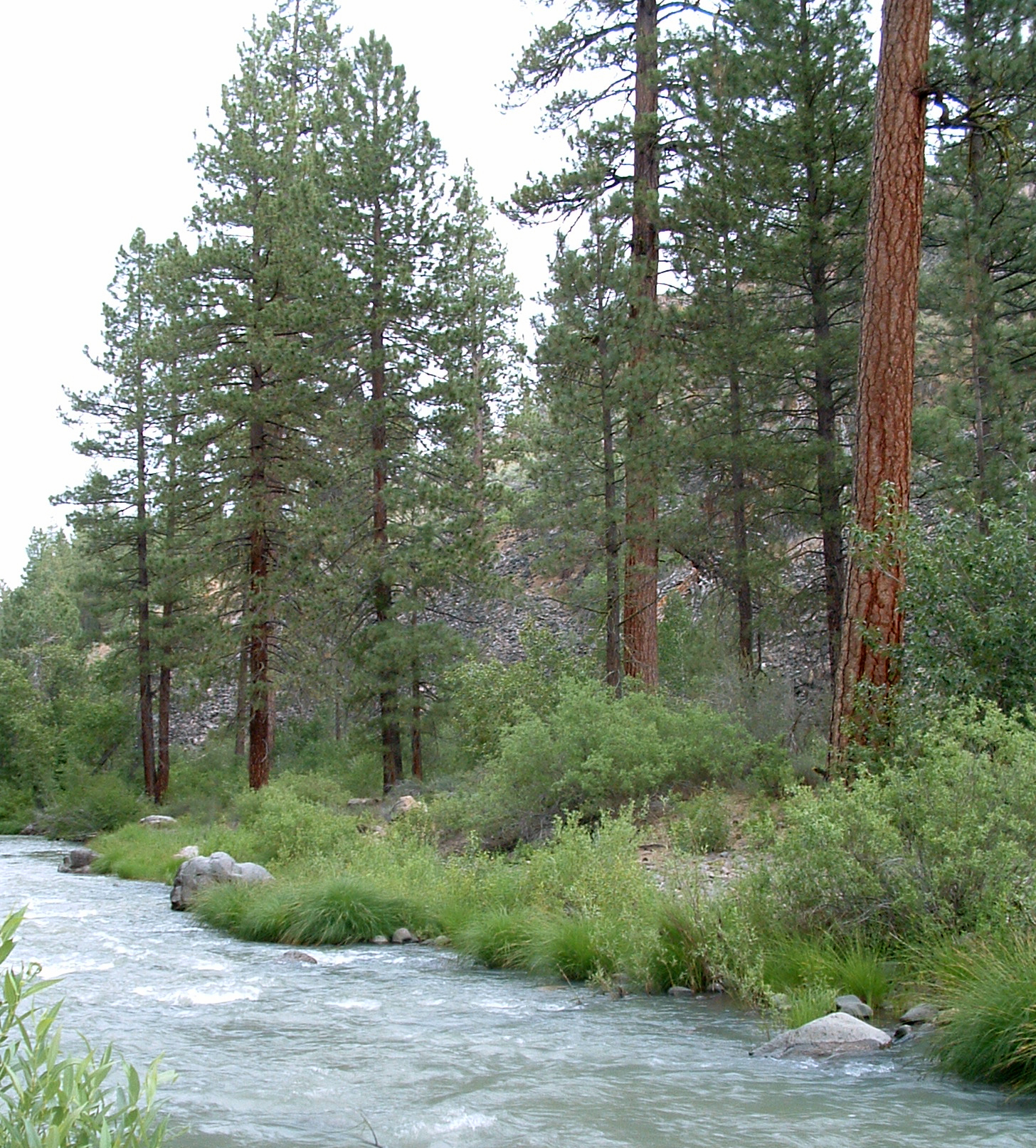 Photo: USFS Region 5, CC BY 2.0 (via Wikimedia Commons)
Susan River
~1h drive
Susan River is a 33-mile paddling stretch near Susanville, California. It is intermittent and may run dry in some seasons. USGS models an average flow of about 429 cfs and a gradient of about 41.3 feet per mile.
 Photo: Robert F. Ettner, Natural Resources Staff Officer, Siskiyou National Forest, US Forest Service, Public domain (via Wikimedia Commons)
Pit River
~1h 2m drive
Pit River is a 9.4-mile paddling stretch near McArthur, California. It is ephemeral and may run dry in some seasons. USGS models an average flow of about 2,630 cfs and a gradient of about 19.5 feet per mile.
 Photo: Richard Jordana, Public domain (via Wikimedia Commons)
Battle Creek
~1h 6m drive
Battle Creek is a 0.2-mile paddling stretch near Paynes Creek, California. It flows year-round. USGS models an average flow of about 703 cfs. Land along it is managed by the Bureau of Land Management.
 Photo: Kmmontandon at English Wikipedia, Public domain (via Wikimedia Commons)
Deer Creek
~1h 10m drive
Deer Creek is a 20-mile paddling stretch near Chico, California. It is intermittent and may run dry in some seasons. USGS models an average flow of about 625 cfs and a gradient of about 75.4 feet per mile. Land along it is managed by the U.S. Forest Service.
Hamilton Branch
~39 min drive
Hamilton Branch is a 3.5-mile paddling stretch near Lake Almanor, California. It is intermittent and may run dry in some seasons. USGS models an average flow of about 306 cfs and a gradient of about 125.9 feet per mile.
Bailey Creek
~41 min drive
Bailey Creek is a 15-mile paddling stretch near Shingletown, California. It flows year-round. USGS models an average flow of about 127 cfs and a gradient of about 200.8 feet per mile.
Horse Creek
~41 min drive
Horse Creek is a 11-mile paddling stretch near McArthur, California. It is ephemeral and may run dry in some seasons. USGS models an average flow of about 49 cfs and a gradient of about 74.2 feet per mile. Land along it is managed by the Bureau of Land Management.
Goodrich Creek
~42 min drive
Goodrich Creek is a 9.8-mile paddling stretch near Susanville, California. It is intermittent and may run dry in some seasons. USGS models an average flow of about 52 cfs and a gradient of about 23.2 feet per mile.
Digger Creek
~44 min drive
Digger Creek is a 20-mile paddling stretch near Manton, California. It flows year-round. USGS models an average flow of about 88 cfs and a gradient of about 240.5 feet per mile.


